Charlottetown in Queens County, Prince Edward Island — The Atlantic Provinces (North America)
A River of Importance
Une rivière d’importance
"From the beginning, the river drew people to settle its banks and use its waters to reach the settlements..."
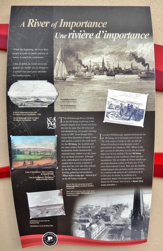
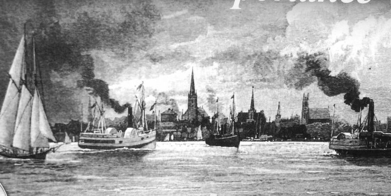
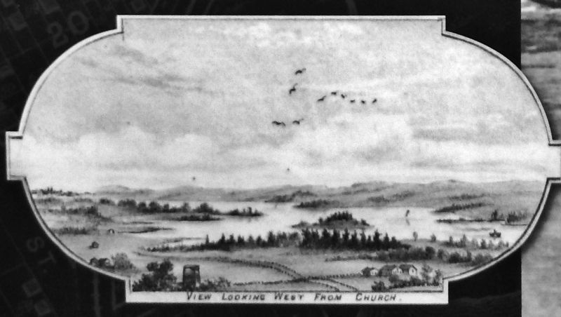
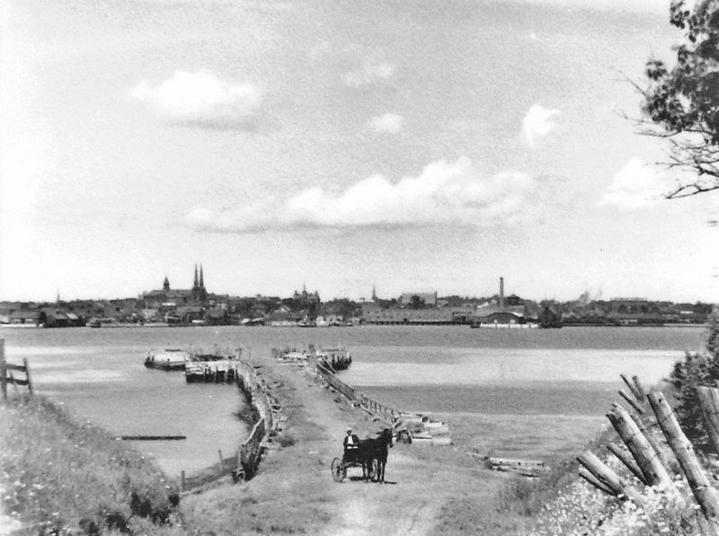
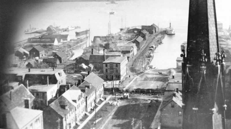
The Hillsborough River, Elsitkuk as the Mi'kmaq would say, is the Island's largest river. It runs east from the city for more than 20 miles and was declared one of Canada's heritage rivers in 1997. Even though often frozen from December to April, it was still used as a route to the north shore for the Mi'kmaq, the Acadians and the many settlers that followed. It is bordered by fertile farmland that attracted many settlers over the years. It is our Saint Lawrence. Although more archeological investigation is needed there is every evidence to show that the river was fully utilized by the Mi' kmaq as a source of hunting, gathering and campsites, "Since before Long Ago — kesi-sa'g a" as the Mi'kmaq would say.
(photo captions)
• Figure Two, Robert Harris, Making Marsh Hay, Hillsborough River, Prince Edward Island, late 19th century. Source: Confederation Centre of the Arts, Charlottetown, Prince Edward Island, H-118.
• A view of Charlottetown, 1836, in a painting by George Thresher
« Dès le début, la rivière invita les peuples à s'établir sur ses berges et à utiliser son cours pour atteindre les établissements... »
La rivière Hillsborough, appelée Elsitkuk par les Mi'kmaq, est le principal cours d'eau de l'île. Elle coule à l'est de la ville sur plus de 30 km (20 milles) et a été déclarée rivière patrimoniale du Canada en 1997. Même si elle gèle souvent de décembre à avril, elle servait de trajet vers la rive nord de l'île aux Mi'kmaq, aux Acadiens et à de nombreux colons qui leur succédèrent. Elle est bordée de fermes fertiles qui ont attiré plusieurs colons au fil des ans. C'est notre Saint-Laurent à nous. Bien que des fouilles archéologiques plus poussées soient nécessaires, on y retrouve des preuves de l'utilisation de la rivière pour la chasse, la cueillette et le campement depuis fort longtemps, ou comme disent les Mi'kmaq : kesi-sa'g a, « depuis bien avant autrefois ».
(légendes de photos)
• Figure Two, Robert Harris, Making Marsh Hay, Hillsborough River, Prince Edward Island, late 19th century. Source: Confederation Centre of the Arts, Charlottetown, Prince Edward Island, H-118.
• Vue de Charlottetown, 1836, dans un tableau de George Thresher
Erected by Historic Charlottetown.
Topics. This historical marker is listed in these topic lists: Native Americans • Settlements & Settlers • Waterways & Vessels.
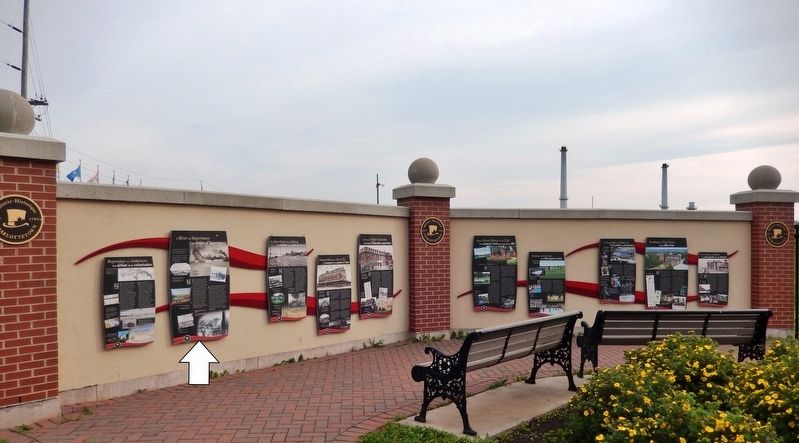
Location. 46° 14.475′ N, 63° 6.881′ W. Marker is in Charlottetown, Prince Edward Island, in Queens County. Marker is at the intersection of Grafton Street and Water Street (Prince Edward Island Route 1), on the right when traveling east on Grafton Street. Marker is located in the "Welcome to Charlottetown" plaza at the southwest corner of the intersection. Touch for map. Marker is in this post office area: Charlottetown PE C1A 1M1, Canada. Touch for directions.
Other nearby markers. At least 8 other markers are within walking distance of this marker. Beginnings of a Settlement (here, next to this marker); The Once Great Island Railroad (here, next to this marker); Transportation from Tip-to-Tip (here, next to this marker); Choices For Higher Education (here, next to this marker); Open Green Spaces in the City (here, next to this marker); Keeping the City Green (here, next to this marker); Preserving Our History (here, next to this marker); Site of a Historic Photo (within shouting distance of this marker). Touch for a list and map of all markers in Charlottetown.
Related markers. Click here for
a list of markers that are related to this marker. Historic Charlottetown, Prince Edward Island
Also see . . .
1. Hillsborough River. Canadian Heritage Rivers System website entry:
The Hillsborough, known as “Elsitkuk” to Island Mi’kmaq and “La Grande Rivière” or “la rivière du Nord-Est” to early French settlers, has a rich human history. Little structural evidence remains of the Aboriginal residents or the French and Acadian settlers, who occupied the area from 1720 until they were expelled by the British in 1758 after the Siege of Louisbourg during the French and Indian War. (Submitted on May 13, 2020, by Cosmos Mariner of Cape Canaveral, Florida.)
2. Hillsborough River (Prince Edward Island). Wikipedia entry (Submitted on September 13, 2022, by Larry Gertner of New York, New York.)
Credits. This page was last revised on September 13, 2022. It was originally submitted on May 9, 2020, by Cosmos Mariner of Cape Canaveral, Florida. This page has been viewed 115 times since then and 4 times this year. Photos: 1, 2, 3, 4, 5, 6. submitted on May 13, 2020, by Cosmos Mariner of Cape Canaveral, Florida.
