Ettrick in Chesterfield County, Virginia — The American South (Mid-Atlantic)
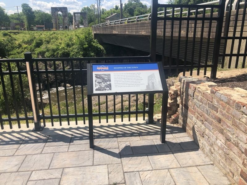
Shaping Of The Town
Virginia State University
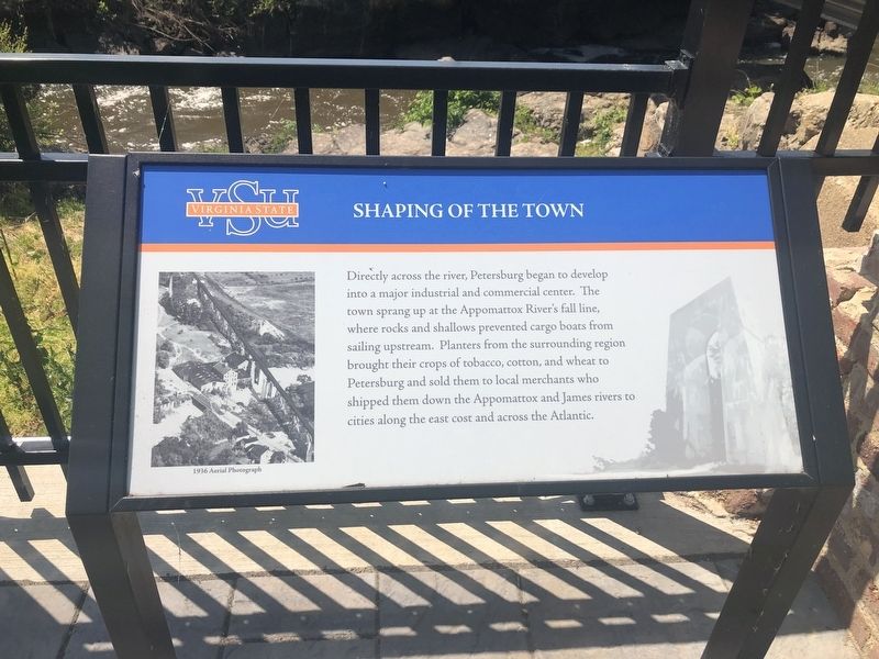
Erected by Virginia State University.
Topics and series. This historical marker is listed in these topic lists: Agriculture • Industry & Commerce • Waterways & Vessels. In addition, it is included in the Historically Black Colleges and Universities series list.
Location. 37° 13.968′ N, 77° 25.043′ W. Marker is in Ettrick, Virginia, in Chesterfield County. It is on Chesterfield Avenue (Virginia Route 36), on the right when traveling west. Touch for map. Marker is in this post office area: Petersburg VA 23803, United States of America. Touch for directions.

Regionally, this marker is in Virginia’s
this page online
Other nearby markers. At least 8 other markers are within walking distance of this marker: Silk Mill (a few steps from this marker); Local Workforce At The Mills (within shouting distance of this marker); The Beginning of Ettrick (within shouting distance of this marker); Mr. Frederick Francoz Simms (within shouting distance of this marker); "The Rocks" (within shouting distance of this marker); Railroad Crossing Over The Appomattox River (within shouting distance of this marker); Simms Hall (within shouting distance of this marker); The History of Virginia State University (within shouting distance of this marker). Touch for a list and map
Additional commentary.
1. Spelling from the marker
The use of cost instead of coast is used verbatim from the marker.
— Submitted May 9, 2020, by Devry Becker Jones of Washington, District of Columbia.
Credits. This page was last revised on May 9, 2020. It was originally submitted on May 9, 2020, by Devry Becker Jones of Washington, District of Columbia. This page has been viewed 314 times since then and 16 times this year. Photos: 1, 2. submitted on May 9, 2020, by Devry Becker Jones of Washington, District of Columbia.
