Franklin in Williamson County, Tennessee — The American South (East South Central)
DeGraffenreid Cemetery
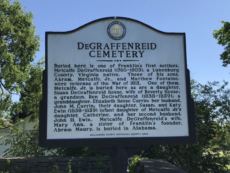
Photographed by Duane and Tracy Marsteller, May 9, 2020
1. DeGraffenreid Cemetery Marker
Erected 2000 by Williamson County Historical Society.
Topics and series. This historical marker is listed in these topic lists: Cemeteries & Burial Sites • Settlements & Settlers • War of 1812. In addition, it is included in the Tennessee – Williamson County Historical Society series list. A significant historical year for this entry is 1812.
Location. 35° 55.613′ N, 86° 53.033′ W. Marker is in Franklin, Tennessee, in Williamson
this page online

Regionally, this marker is in Middle Tennessee and in Greater Nashville. It is also in the American South and specifically in the Upper South. Globally, it is in North America, the Western Hemisphere, the Western World, and the Anglosphere. Historically, it finds itself in what was once the territory of the Mississippian Culture, one of the Confederate States of America, and the Antebellum South.
Other nearby markers. At least 8 other markers are within walking distance of this marker: Charles C. Johnson School (about 400 feet away, measured in a direct line); Hard Bargain (approx. ¼ mile away); Franklin Noon Rotary Rodeo (approx. 0.3 miles away); Federal Breastworks (approx. 0.4 miles away); Harpeth Academy (approx. half a mile away); Toussaint L'Ouverture Cemetery (approx. half a mile away); Campbell School House (approx. half a mile away); Campbell-Harms House (approx. half a mile away).
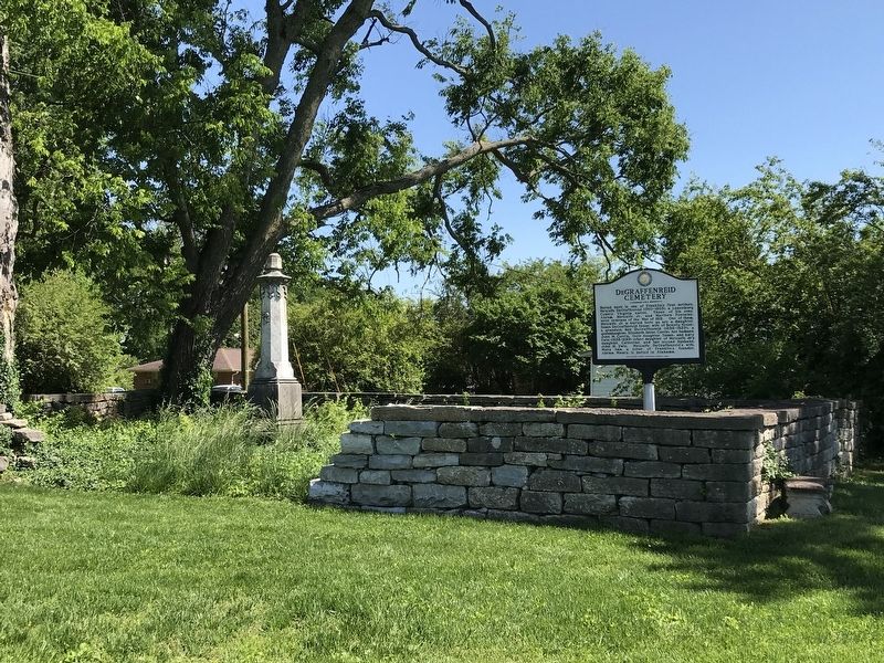
Photographed by Duane and Tracy Marsteller, May 9, 2020
2. DeGraffenreid Cemetery Marker
Credits. This page was last revised on May 10, 2020. It was originally submitted on May 10, 2020, by Duane and Tracy Marsteller of Murfreesboro, Tennessee. This page has been viewed 779 times since then and 66 times this year. Photos: 1, 2. submitted on May 10, 2020, by Duane and Tracy Marsteller of Murfreesboro, Tennessee. • Devry Becker Jones was the editor who published this page.
