Near Franklin in Williamson County, Tennessee — The American South (East South Central)
Leiper's Fork Church of Christ
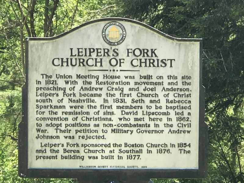
The Union Meeting House was built on this site in 1821. With the Restoration movement and the preaching of Andrew Craig and Joel Anderson, Leiper's Fork became the first Church of Christ south of Nashville. In 1831, Seth and Rebecca Sparkman were the first members to be baptised for the remission of sins. David Lipscomb led a convention of Christians, who met here in 1862, to adopt positions as non-combatants in the Civil War. Their petition to Military Governor Andrew Johnson was rejected.
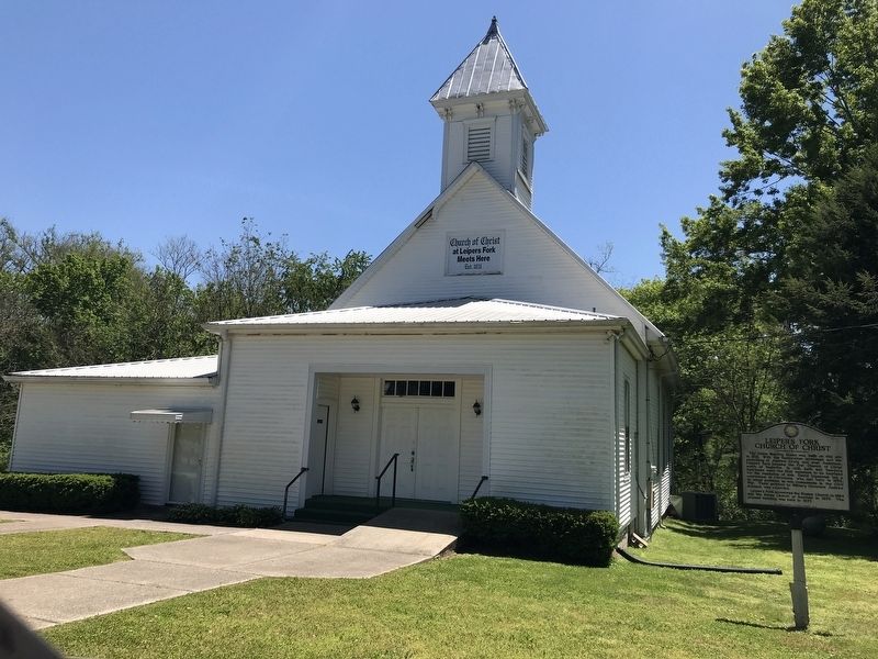
Leiper's Fork sponsored the Boston Church in 1854 and the Berea Church at Southall in 1876. The present building was built in 1877.
Erected 1998 by Williamson County Historical Society.
Topics and series. This historical marker is listed in these topic lists: Churches & Religion • Peace • War, US Civil. In addition, it is included in the Former U.S. Presidents: #17 Andrew Johnson, and the Tennessee – Williamson County Historical Society series lists. A significant historical year for this entry is 1821.
Location. 35° 53.723′ N, 86° 59.927′ W. Marker is near Franklin, Tennessee, in Williamson County. Marker is on Old Hillsboro Road (Tennessee Route 46) east of Joseph Street, on the right when traveling east. Touch for map. Marker is at or near this postal address: 4207 Old Hillsboro Road, Franklin TN 37064, United States of America. Touch for directions.
Other nearby markers. At least 8 other markers are within 3 miles of this marker, measured as the crow flies. Bank of Leiper's Fork / Hillsboro Methodist Church (about 300 feet away, measured in a direct line); Hillsboro Union Church and Public School (about 500 feet away); Leiper's Fork (approx. 0.3 miles away); Thomas Hart Benton (approx. ¾ mile away); Benton's Well and Slave Cabin (approx. 0.8 miles away); Dr. George B. Hunter Farm / Along Leiper's Fork (approx. 1.3 miles away); Franklin-Hillsboro Turnpike / Franklin's Water Supply (approx. 2.3 miles away); Boyd's Mill (approx. 2.6 miles away). Touch for a list and map of all markers in Franklin.
Also see . . . Leiper's Fork Church of Christ - Our History. Church website entry (Submitted on May 11, 2020.)
Credits. This page was last revised on April 1, 2021. It was originally submitted on May 10, 2020, by Duane and Tracy Marsteller of Murfreesboro, Tennessee. This page has been viewed 299 times since then and 22 times this year. Photos: 1, 2. submitted on May 10, 2020, by Duane and Tracy Marsteller of Murfreesboro, Tennessee. • Bernard Fisher was the editor who published this page.

