Near Richmond in Henrico County, Virginia — The American South (Mid-Atlantic)
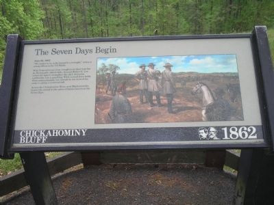
The Seven Days Begin
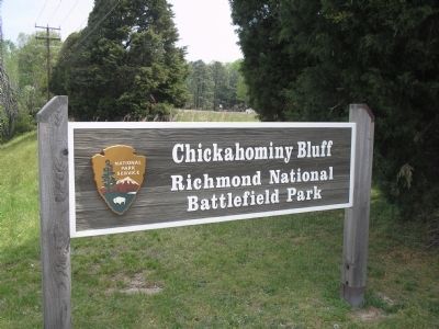
Chickahominy Bluff – 1862
June 26, 1862
“We expect to be in Richmond in a fortnight,” writes a young officer in the 7th Maine.
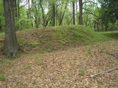
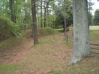
With Federal troops close enough to set their watches by Richmond’s church bells, General Robert E. Lee orders his men to strengthen the city’s defensive earthworks. Lee is gambling. While a small force holds these entrenchments, Lee intends to use most of his army to spring a counterattack.
Across the Chickahominy River, near Mechanicsville, begins the second in the series of the battles known as the Seven Days.
Erected by Richmond National Battlefield Park, National Park Service.
Topics. This historical marker is listed in this topic list: War, US Civil. A significant historical date for this entry is June 26, 1862.
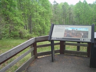
Location. This marker has been replaced by another marker nearby. It was located near 37° 35.07′ N, 77° 23.269′ W. Marker was near Richmond, Virginia, in Henrico County. Marker could be reached from Mechanicsville Turnpike (U.S. 360), on the right when traveling north. Marker is on a short trail in the Chickahominy Bluff Unit of Richmond National Battlefield Park. Touch for map. Marker was in this post office area: Richmond VA 23223, United States of America. Touch for directions.
Other nearby markers. At least 8 other markers are within 2 miles of this location, measured as the crow flies. Seven Days' Battles Begin (about 400 feet away, measured in a direct line); Defending Richmond (about 500 feet away); Chickahominy Bluff (about 500 feet away); Outer Fortifications (approx. 0.2 miles away); Hanover County / Henrico County (approx. half a mile away); The Chickahominy River & Seven Days' Battles (approx. half a mile away); Seven Days Battles (approx. 1.4 miles away); John Marshall's Farm (approx. 1˝ miles away). Touch for a list and map of all markers in Richmond.
More about this marker. The right side of the marker features a picture of Gen. Robert E. Lee and his staff on the bluffs here, monitoring the Union troops.
Related marker. Click here for another marker that is related to this marker. New Marker At This Location titled "Seven Days' Battles Begin".
Also see . . .
1. Places To Go in Richmond National Battlefield Park. National Park Service website. (Submitted on January 2, 2009, by Bill Coughlin of Woodland Park, New Jersey.)
2. The Seven Days Battle. HistoryCentral.com website. (Submitted on January 2, 2009, by Bill Coughlin of Woodland Park, New Jersey.)
Credits. This page was last revised on November 5, 2021. It was originally submitted on January 2, 2009, by Bill Coughlin of Woodland Park, New Jersey. This page has been viewed 1,066 times since then and 7 times this year. Photos: 1, 2, 3, 4, 5. submitted on January 2, 2009, by Bill Coughlin of Woodland Park, New Jersey.
