Florence in Florence County, South Carolina — The American South (South Atlantic)
Florence National Cemetery

Photographed by Brandon D Cross, May 2, 2020
1. Florence National Cemetery Marker
Florence Prison Stockade
In early September 1864, General William Tecumseh Sherman's Union army took Atlanta and came within striking range of the large Confederate prison at Andersonville, Georgia. he Confederate government responded to this threat by transferring many of the prisoners from Andersonville to Florence, South Carolina, over 300 miles to the northeast, where a new prison was hastily constructed by enslaved persons. The first Union prisoners arrived in mid-September.
The Florence Stockade, located just south of here, was approximately 23 acres bisected by a stream and enclosed by a tall fence constructed from logs set vertically in the ground. A high parapet around the outside of the fence gave the guards a vantage point over the prison, and a deep moat prevented escape by tunneling. Conditions were miserable in the open-air stockade. The prisoners had very little food and only such shelter as they could create for themselves, including hovels dug into the ground. Many died from disease, starvation, exposure or wounds suffered prior to their capture.
In late February 1865, the prison stockade was abandoned
this page online
Cemetery and Trench Graves
The Florence Stockade casualties were buried in 16 trenches located approximately a quarter mile north of here. The bodies were buried without benefit of coffins and were simply marked with wooden stakes. Confederate officials also used another small piece of land nearby for burials.
After the war, the Office of the Quartermaster General located the graves of Union soldiers and established national cemeteries throughout the country. Florence National Cemetery was established in 1865 around the trench burials. Bodies from the other burial ground and from Darlinton, Chesterfield,and Marion counties were reinterred in two new sections. Though the names of Union dead buried in the trenches were recorded, it was not possible to match names with graves. The wooden stakes that marked the burial locations were later replaced with 6 x 6 inch marble block. Today, the trenches are designated with upright markers
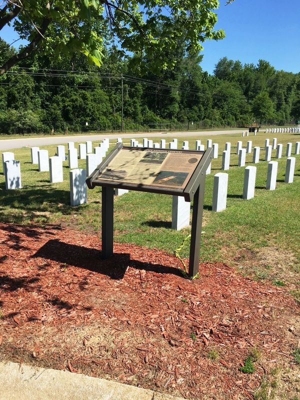
Photographed by Brandon D Cross, May 2, 2020
2. Florence National Cemetery Marker from a distance.
(sidebar)
Archaeological Investigation
As part of the Department of Veterans Affairs' expansion of Florence National Cemetery, archaeological investigations of a 10-acre parcel were conducted in 2005 and 2006.
These excavations resulted in the identification of a camp used by the Confederate guards north of the stockade, composed of a series of dugout shelters and tent stands. The dugouts consisted of a square area excavated 3 feet to 4 feet below ground, with log walls above ground and a roof covered by pine branches or "shelter halves" (canvas sheets used to form an A-frame tent). A fireplace and chimney were located at one end of each shelter. These structures, along with supporting features such as privies, latrine trenches and trash pits, were arranged in roughly regular rows called "company streets."
A total of 5,828 historic artifacts were recovered through the excavations, including military items such as ammunition, bayonets and canteens. Day-to-day items used by the Confederate prison guards were also found, including bottles, dishes, pipes and cooking
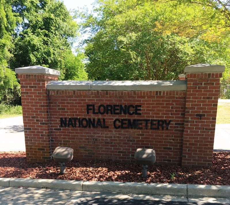
Photographed by Brandon D Cross, May 2, 2020
3. Florence National Cemetery Entrance (new section)
Erected by U.S Department of Veteran Affairs, National Cemetery Administration.
Topics and series. This historical marker is listed in these topic lists: Cemeteries & Burial Sites • War, US Civil. In addition, it is included in the National Cemeteries series list.
Location. 34° 10.812′ N, 79° 45.129′ W. Marker is in Florence, South Carolina, in Florence County. It can be reached from Stockade Drive 0.1 miles south of East National Cemetery Road, on the right when traveling south. The Florence National Cemetery is composed of two properties. The oldest portion is the original 1865 property, which was expanded by two acres in 1942. A new 19-acre area southeast of the older cemetery was established in 1984. This marker is located in the new section. Touch for map. Marker is in this post office area: Florence SC 29506, United States of America. Touch for directions.

Regionally, this marker is in South Carolina’s Pee Dee. It is also in the American South and specifically in the Deep South. Globally, it is in North America, the Western Hemisphere, the Western World, and the Anglosphere. Historically, it finds itself in what was once the territory of the Mississippian Culture, one of the original Thirteen Colonies, one of the Confederate States of America, and the Antebellum South.
Other nearby markers. At least 8 other markers are within walking distance of this marker: A different marker also named Florence National Cemetery (about 600 feet away, measured in a direct line); A National Cemetery System (approx. 0.2 miles away); Florence Stockade Monument (approx. ¼ mile away); a different marker also named A National Cemetery System (approx. 0.3 miles away); a different marker also named Florence National Cemetery (approx. 0.3 miles away); Carillon (approx. 0.3 miles away); Civil War Union Burials (approx. 0.3 miles away); Dahlgren, IX-inch (approx. 0.4 miles away). Touch for a list and map of all markers in Florence.
Credits. This page was last revised on April 7, 2021. It was originally submitted on May 14, 2020, by Brandon D Cross of Flagler Beach, Florida. This page has been viewed 584 times since then and 44 times this year. Photos: 1, 2, 3. submitted on May 14, 2020, by Brandon D Cross of Flagler Beach, Florida. • Bernard Fisher was the editor who published this page.
