Quincy in Adams County, Illinois — The American Midwest (Great Lakes)
Marquette & Jolliet
Europeans Arrive
Photographed by Jason Voigt, May 11, 2020
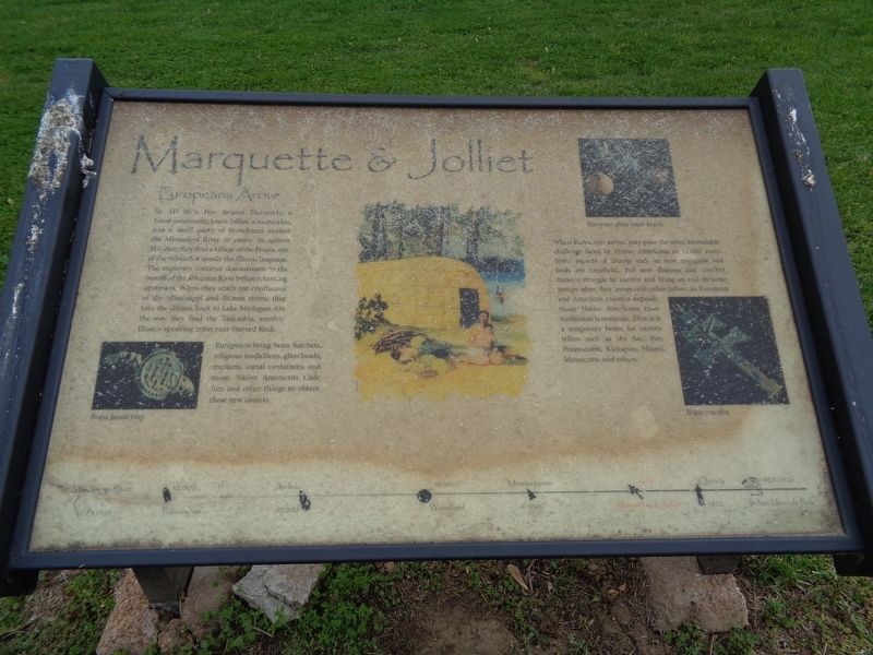
1. Marquette & Jolliet Marker
In AD 1673, Pere Jacques Marquette, a Jesuit missionary, Louis Jolliet, a mapmaker, and a small party of Frenchmen explore the Mississippi River by canoe. In eastern Missouri they find a village of the Peoria, one of the tribes that speaks the Illinois language. The explorers continue downstream to the mouth of the Arkansas River before returning upstream. When they reach the confluence of the Mississippi and Illinois rivers, they take the Illinois back to Lake Michigan. On the way they find the Kaskaskia, another Illinois-speaking tribe, near Starved Rock.
Europeans bring brass hatchets, religious medallions, glass beads, muskets, metal containers, and more. Native Americans trade furs and other things to obtain these new objects.
When Europeans arrive, they pose the most formidable challenge faced by Native Americans in 12,000 years. Some aspects of change such as new materials and tools are beneficial. But new diseases and conflict mean a struggle to survive and bring an end to some groups when they merge with other tribes. As European and American colonies expand, many Native Americans leave traditional homelands,
this page online
Topics. This historical marker is listed in these topic lists: Colonial Era • Exploration • Indigenous Peoples and Communities. A significant historical year for this entry is 1673.
Location. 39° 54.943′ N, 91° 24.587′ W. Marker is in Quincy, Illinois, in Adams County. It is on Indian Mounds Park just west of South 5th Street, on the right when traveling east. Marker is in Indian Mounds Park. Touch for map. Marker is at or near this postal address: 1500 South 5th Street, Quincy IL 62301, United States of America. Touch for directions.

Regionally, this marker is in Central Illinois. It is also in the American Midwest, in the Corn Belt, and in the Great River Road Region. Globally, it is in North America, the Western Hemisphere, the Western World, and the Anglosphere. Historically, it finds itself in what was once the territory of the Mississippian Culture and also the Northwest Territory.
Other nearby markers. At least 8 other markers are within walking distance of this marker: Mississippian (a
Photographed by Jason Voigt, May 11, 2020
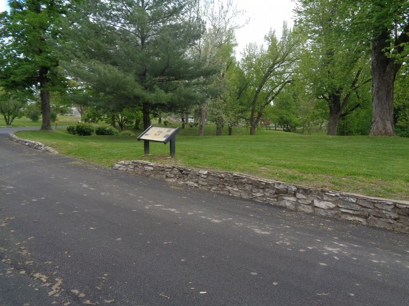
2. Marquette & Jolliet Marker
Marker is the sixth as part of the Indian Mounds Trail
Credits. This page was last revised on May 16, 2020. It was originally submitted on May 16, 2020, by Jason Voigt of Glen Carbon, Illinois. This page has been viewed 467 times since then and 53 times this year. Photos: 1, 2. submitted on May 16, 2020, by Jason Voigt of Glen Carbon, Illinois. • Devry Becker Jones was the editor who published this page.
