
Lewes & Rehoboth Hundred near Dewey Beach in Sussex County, Delaware — The American Northeast (Mid-Atlantic)
Indian River Inlet and Bridge
Nature vs. Technology
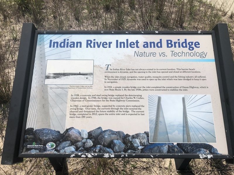
The Indian River Inlet has not always existed in its current location. This barrier beach environment is dynamic, and the opening to the inlet has opened and closed at different locations.
When the inlet closed, navigation, water quality, mosquito control and the fishing industry all suffered. In November of 1929, dynamite was used to open up the inlet which was later dredged to keep it open to navigation.
In 1934, a simple wooden bridge over the inlet completed the construction of Ocean Highway, which is now State Route 1. By the late 1930s, jetties were constructed to stabilize the inlet.
In 1938, a concrete and steel swing bridge replaced the deteriorating wooden design. In 1940, the bridge was named for Charles W. Cullen, Chairman of Commissioners for the State Highway Commission.
In 1962, a steel-girder bridge, supported by concrete piers replaced the swing bridge. Over time, the currents through the inlet scoured the channel and threatened the future stability of the bridge. The current bridge, completed in 2012, spans the entire inlet and is expected to last more than 100 years.
Erected by Delaware
this page online
Topics and series. This historical marker is listed in these topic lists: Animals • Bridges & Viaducts • Roads & Vehicles • Waterways & Vessels. In addition, it is included in the Delaware State Parks series list. A significant historical month for this entry is November 1929.
Location. 38° 36.545′ N, 75° 3.865′ W. Marker is near Dewey Beach, Delaware, in Sussex County. It is in Lewes & Rehoboth Hundred. It can be reached from Inlet Road 0.6 miles south of Coastal Highway (Delaware Route 1), on the left when traveling south. Touch for map. Marker is in this post office area: Rehoboth Beach DE 19971, United States of America. Touch for directions.

Regionally, this marker is on Delaware’s Beaches. It is also in the American Mid-Atlantic, on the Delmarva Peninsula, and on the Eastern Seaboard. Globally, it is in the North Atlantic Region, North America, the Western Hemisphere, the Western World, and the Anglosphere. Historically, it finds itself in what was once New Netherland, one of the original Thirteen Colonies, and the Antebellum South.
Other nearby markers. At least 8 other markers are within 2 miles
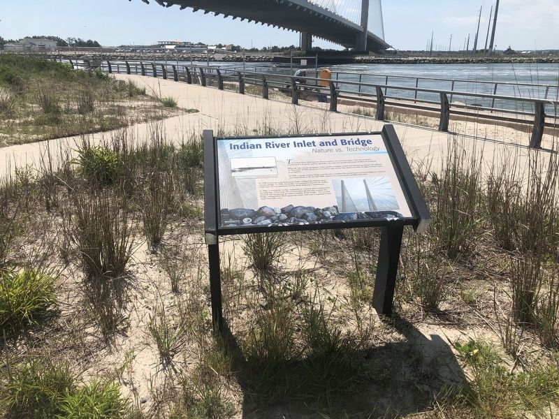
Related marker. Click here for another marker that is related to this marker. An identical marker stands on the south side of the park.
Photographed by Devry Becker Jones (CC0), May 16, 2020
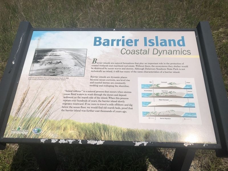
3. Barrier Island Nature Marker
Nearby nature marker describing the nature of barrier islands.
Credits. This page was last revised on June 5, 2026. It was originally submitted on May 17, 2020, by Devry Becker Jones of Washington, District of Columbia. This page has been viewed 959 times since then and 20 times this year. Photos: 1, 2, 3. submitted on May 17, 2020, by Devry Becker Jones of Washington, District of Columbia.
