Baltimore Hundred in South Bethany in Sussex County, Delaware — The American Northeast (Mid-Atlantic)
Life in South Bethany Through the Years
Photographed by Devry Becker Jones (CC0), May 16, 2020
1. Life in South Bethany Through the Years Marker
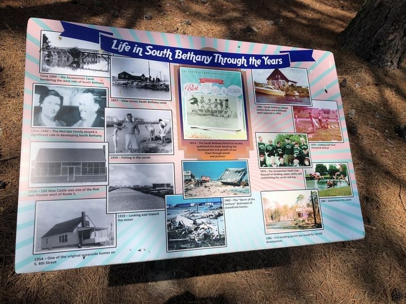
[This markers shares stories of South Bethany wish a series of photos. The captions are noted below:]
Circa 1900 – the Assawoman Canal bordering the west side of South Bethany
Circa 1940 – The McCabe Family played a significant role in developing South Bethany.
1954 – 109 New Castle was one of the first two houses west of Route 1.
1954 – One of the original oceanside homes on S. 4th Street
1957 – View across South Bethany canal
1959 – Fishing in the canals
1959 – Looking east toward the ocean
2014 - The South Bethany Historical Society published this book detailing the development and growth of our Town through words and pictures.
1962 – The "Storm of the Century" destroyed all oceanfront homes.
1968 – South Bethany cottage before docs and bulkheads were required in 1994.
1970 – Looking east from Cleveland Avenue
1975 – The Assawoman Yacht Club focused on boating, water safety and maintaining the canals and bay.
1985 – Swimming in the canals
1986 – First building permit was issued for Cat Hill development.
Erected by The Town of South Bethany, Delaware.
Topics. This historical marker is listed
this page online
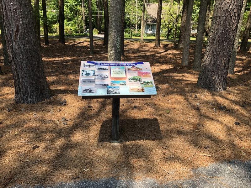
Location. 38° 31.272′ N, 75° 3.741′ W. Marker is in South Bethany, Delaware, in Sussex County. It is in Baltimore Hundred. It is on Russell Road just west of Evergreen Road, on the right when traveling west. Touch for map. Marker is at or near this postal address: 208 Russell Rd, Bethany Beach DE 19930, United States of America. Touch for directions.

Regionally, this marker is on Delaware’s Beaches. It is also in the American Mid-Atlantic, on the Delmarva Peninsula, and on the Eastern Seaboard. Globally, it is in the North Atlantic Region, North America, the Western Hemisphere, the Western World, and the Anglosphere. Historically, it finds itself in what was once New Netherland, one of the original Thirteen Colonies, and the Antebellum South.
Other nearby markers. At least 8 other markers are within 2 miles of this marker, measured as the crow flies: South Bethany's Historic Roots (within shouting distance of this marker); South Bethany's Local Government Evolves Over the Years
Photographed by Devry Becker Jones (CC0), May 16, 2020
2. Life in South Bethany Through the Years Marker
Credits. This page was last revised on June 25, 2026. It was originally submitted on May 17, 2020, by Devry Becker Jones of Washington, District of Columbia. This page has been viewed 453 times since then and 20 times this year. Photos: 1, 2. submitted on May 17, 2020, by Devry Becker Jones of Washington, District of Columbia.
