Indian Village in Ouachita Parish, Louisiana — The American South (West South Central)
Indian Village
Photographed by Cajun Scrambler, May 14, 2020
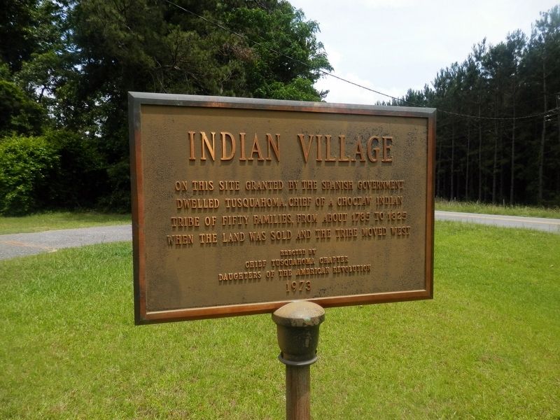
1. Indian Village Marker
On this site granted by the Spanish Government dwelled Tusquahoma, Chief of a Choctaw Indian tribe of fifty families, from about 1785 to 1825 when the land was sold and the tribe moved west
Erected 1973 by Chief Tusquahoma Chapter Daughters of the American Revolution.
Topics and series. This historical marker is listed in these topic lists: Colonial Era • Indigenous Peoples and Communities. In addition, it is included in the Daughters of the American Revolution (DAR) series list.
Location. 32° 28.479′ N, 92° 24.56′ W. Marker is in Indian Village, Louisiana, in Ouachita Parish. It is on State Highway 114 north of Guyton Swamp Road, on the left when traveling north. Touch for map. Marker is in this post office area: Calhoun LA 71225, United States of America. Touch for directions.

Regionally, this marker is in North Louisiana. It is also in the American South and specifically in the Deep South. Globally, it is in North America, a Gulf of Mexico state, the Western Hemisphere, the Western World, and the Anglosphere. Historically, it finds itself in what
this page online
Other nearby markers. At least 3 other markers are within 13 miles of this marker, measured as the crow flies: A different marker also named Indian Village (within shouting distance of this marker); Mt. Zion Cemetery (approx. 6 miles away); Old Fenner Road (approx. 12.9 miles away).
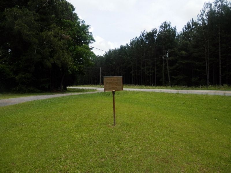
More about this marker. Located on the grounds of the Indian Village Methodist Church.
Photographed by Cajun Scrambler, May 14, 2020
2. Indian Village Marker
Credits. This page was last revised on June 5, 2020. It was originally submitted on May 20, 2020, by Cajun Scrambler of Assumption, Louisiana. This page has been viewed 1,213 times since then and 70 times this year. Photos: 1, 2. submitted on May 20, 2020, by Cajun Scrambler of Assumption, Louisiana.
