Key Largo in Monroe County, Florida — The American South (South Atlantic)
Jewfish Creek Bridge
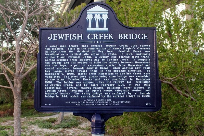
Photographed by Tim Fillmon, January 23, 2018
1. Jewfish Creek Bridge Marker
this page online
Erected 2012 by The Florida Department of Transportation and the Florida Department of State. (Marker Number F-747.)
Topics. This historical marker is listed in these topic lists: Bridges & Viaducts • Railroads & Streetcars • Roads & Vehicles • Waterways & Vessels. A significant historical date for this entry is December 9, 1906.
Location. 25° 11.007′ N, 80° 23.203′ W. Marker is in Key Largo, Florida, in Monroe County. It is at the intersection of Yacht Club Drive and Overseas Highway (U.S. 1), on the right when traveling north on Yacht Club Drive. Marker is located on Yacht Club Drive which runs parallel and under the US 1 bridge for local access to businesses. Touch for map. Marker is in this post office area: Key Largo FL 33037, United States of America. Touch for directions.

Regionally, this marker is on the Florida Keys. It is also in the American South and on the Gulf Coast. Globally, it is in the North Atlantic Region, North America, a Gulf of Mexico state, the Western Hemisphere, the Western World, and the Anglosphere. Historically, it finds itself in what
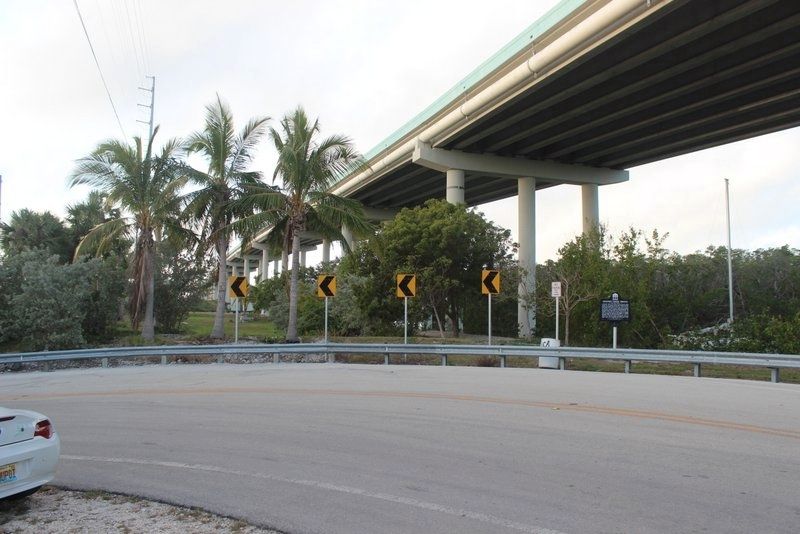
Photographed by Tim Fillmon, January 23, 2018
2. Jewfish Creek Bridge Marker and US 1 bridge above.
Other nearby markers. At least 2 other markers are within 15 miles of this marker, measured as the crow flies: African Queen (approx. 6.9 miles away); Tavernier (approx. 14½ miles away).
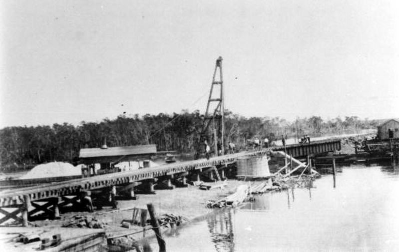
Photographed by Florida Memory, February 15, 1907
3. Original Jewfish Creek Bridge Swing Bridge under construction
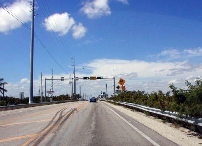
Photographed by Florida Memory, March 2007
4. Draw Bridge (2nd bridge) over Jewfish Creek
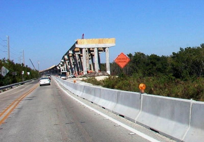
Photographed by Florida Memory, February 2007
5. New Jewfish Bridge being constructed
Credits. This page was last revised on June 2, 2020. It was originally submitted on June 2, 2020, by Tim Fillmon of Webster, Florida. This page has been viewed 815 times since then and 80 times this year. Photos: 1, 2, 3, 4, 5. submitted on June 2, 2020, by Tim Fillmon of Webster, Florida. • Bernard Fisher was the editor who published this page.
