Dieppe in Westmorland County, New Brunswick — The Atlantic Provinces (North America)
The Grand Dérangement
Resistance on the Petcoudiac / La Résistance sur la Petcoudiac
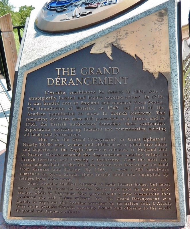
The Grand Dérangement
L’Acadie, established by France in 1604, was a strategically located and highly coveted colony. In 1713, it was handed over to England and renamed Nova Scotia. The foundation of Halifax, in 1749, led part of the Acadian population to move to French territory. The remaining Acadians were still perceived as a threat, and in 1755, the British authorities launched their systematic deportation, splitting up families and communities, seizing all lands and possessions.
This was the Grand Dérangement or Great Upheaval. Nearly 10,000 men, women, and children were piled into ships and deported to the Anglo-American colonies, to England and to France. Others escaped the deportations, seeking refuge in French territory and forming a resistance. Over the next ten years, almost half of the Acadian nation was lost at sea or died from disease and famine. By 1765, a mere 1,600 survivors remained in Nova Scotia, their fertile land now occupied by settlers from other areas.
Some Acadian families returned to their former home. but most never again set eyes on Acadie. Many took root in Quebec and France, while in Louisiana they gave rise to a new community that produced the rich Cajun culture. Yet, the Grand Dérangement was unable to wipe out the Acadian presence on its native soil. L’Acadie lives on in Atlantic Canada, speaking French and offering to the world its proud and dynamic culture.
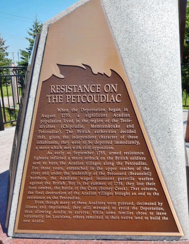
Resistance on the Petcoudiac
When the Deportation began in August 1755, a significant Acadian population lived in the region of the Trois-Rivieres (Chipoudie, Memrainkouke and Petcoudiac). The British authorities decided that, given the independent character of these inhabitants; they were to be deported immediately, a move which met with stiff opposition.
As early as September 1755, armed resistance fighters inflicted a major setback on the British soldiers sent to burn the Acadian villages along the Petcoudiac. For three years, entrenched in the upper reaches of the river and under the leadership of the Broussard. (Beausoleil) brothers, the Acadians waged incessant guerrilla warfare against the British. But in the summer of 1758, they lost their first combat, the battle of the Cran (Stoney Creek). That autumn, the final destruction of the Acadian villages brought an end to the resistance on the Petcoudiac.
Even though many of these Acadians were pursued, decimated by illness and imprisoned, they still managed to avoid the Deportation, thus allowing Acadie to survive. While some families chose to leave voluntarily for Louisiana, others remained in their native land to build the new Acadie.
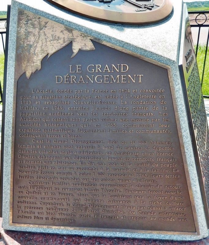
Le Grand Dérangement
L’Acadie, fondée par la France en 1604 et convoitée pour sa situation stratégique, est cédée à l’Angleterre en 1713 et rebaptisée Nouvelle-Écosse. La fondation de Halifax, en 1749, entraîne l’exode d’une partie de la population acadienne vers les territoires français. Les Acadiens qui restent sont perçus comme un menace par les autorités britannique qui, en 1755, commençant leur expulsion systématique, fragmentant familles et communautés, confisquant terres et biens.
C’est la Grand Dérangement. Près de 10 000 hommes, femmes et enfants sont entassés à bord de navires et déportes dans les colonies anglo-américaines, en Angleterre et en France. D’autres échappent aux déportations, fuyant en territoire français et formant une résistance. En dix ans, près de la moitié du peuple acadien périt en mer ou succombe à la maladie et à la famine. La Nouvelle-Écosse compte à peine 1 600 rescapés en 1765, leur terres fertiles désormais occupées par des colons venus d’ailleurs.
Certaines familles acadiennes reprendront le chemin du retour, mais la plupart ne reverront jamais l’Acadie. Plusieurs feront souche au Québec et en France, alors que la Louisiane sera le foyer d’une nouvelle communauté qui donnera naissance à la riche culture acadienne. Cependant, le Grand Dérangement n’aura pas réussi à effacer la présence acadienne de sa terre d’origine. Au Canada atlantique, l’Acadie est bien vivante, parle le français et propose au monde une culture fière et dynamique.
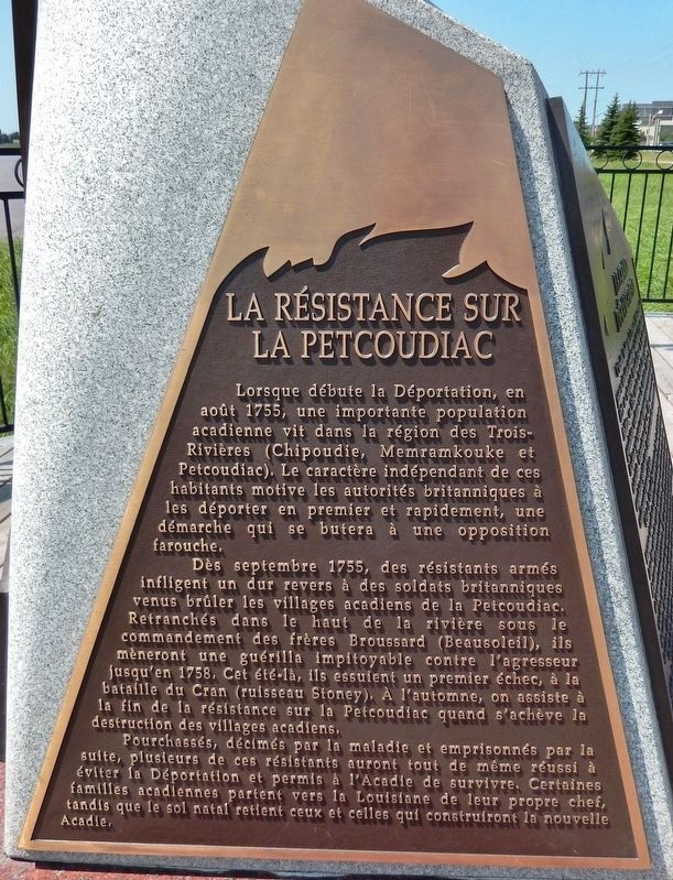
La Résistance sur la Petcoudiac
Lorsque débute la Déportation, en août 1755, une importante population acadienne vit dans la région des Trois-Rivières (Chipoudie, Memramkouke et Petcoudiac). Le caractère indépendant de ces habitants motive les autorités britanniques à les déporter en premier et rapidement, une démarche qui se butera à une opposition farouche.
Dès septembre 1755, des résistants armés infligent un dur revers à des soldats britanniques venus brûler les villages acadiens de la Petcoudiac. Retranchés dans le haut de la rivière sous le commandement des frères Broussard (Beausoleil), ils mèneront une guérilla impitoyable contre l'agresseur jusqu'en 1758. Cet été-là, ils essuient un premier échec, à la bataille du Cran (ruisseau Stoney). À l'automne, on assiste à la fin de la résistance sur la Petcoudiac quand s'achève la destruction des villages acadiens.
Pourchassés, décimés par la maladie et emprisonnés par la suite, plusieurs de ces résistants auront tout de même réussi à éviter ta Déportation et permis à l'Acadie de survivre. Certaines familles acadiennes partent vers la Louisiane de leur propre chef, tandis que le sol natal retient ceux et celles qui construiront la nouvelle Acadie.
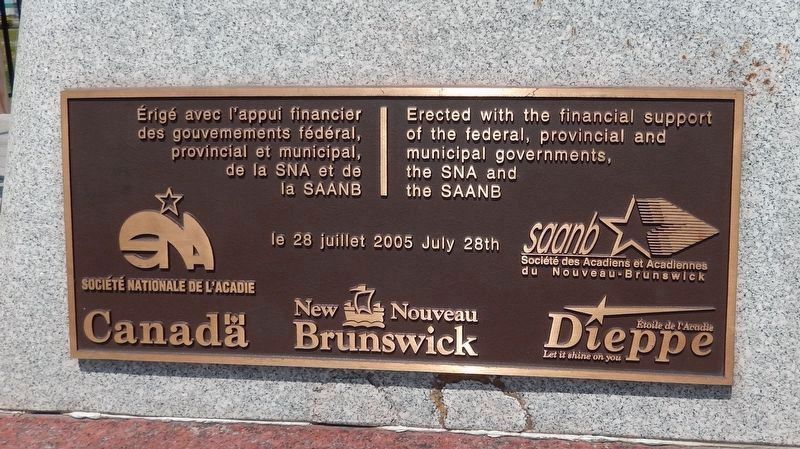
Erected 2005 by Société Nationale de l’Acadie, Société des Acadiens et Acadiennes du Nouveau-Brunswick.
Topics and series. This historical marker is listed in these topic lists: Colonial Era • Settlements & Settlers • War, French and Indian. In addition, it is included in the Acadian History series list. A significant historical month for this entry is September 1755.
Location. 46° 5.556′ N, 64° 45.684′ W. Marker is in Dieppe, New Brunswick, in Westmorland County. Marker can be reached from Champlain Street (New Brunswick Route 106) 0.1 kilometers east of Wheeler Boulevard, on the right when traveling east. Marker is located along the riverfront walkway just south of Champlain Street. Touch for map. Marker is at or near this postal address: 6 Champlain Street, Dieppe NB E1A 1N3, Canada. Touch for directions.
Other nearby markers. At least 8 other markers are within walking distance of this marker. Les Acadiens / The Acadians (a few steps from this marker); The Tidal Bore / le mascaret (about 180 meters away, measured in a direct line); Arrival and Survival (approx. 0.3 kilometers away); Journey to a New Country (approx. 0.3 kilometers away); The Moncton Settlement
(approx. 0.3 kilometers away); Settlers Landing (approx. 0.3 kilometers away); First Settlers / Premiers Colons (approx. 0.8 kilometers away); Joseph Salter Moncton 100 Monument (approx. 0.8 kilometers away).
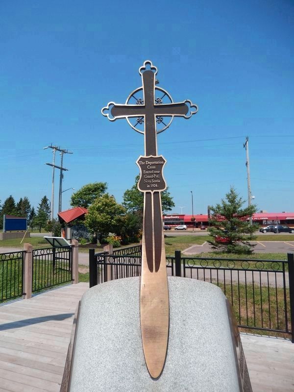
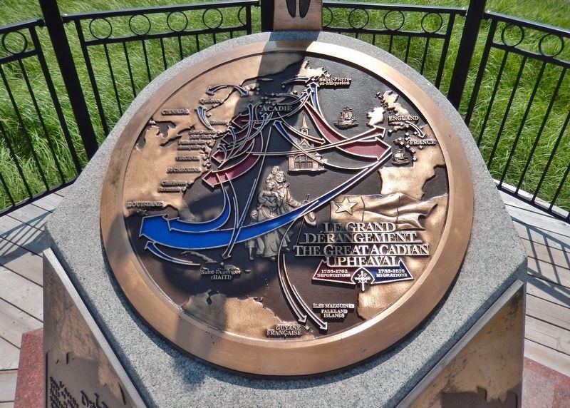
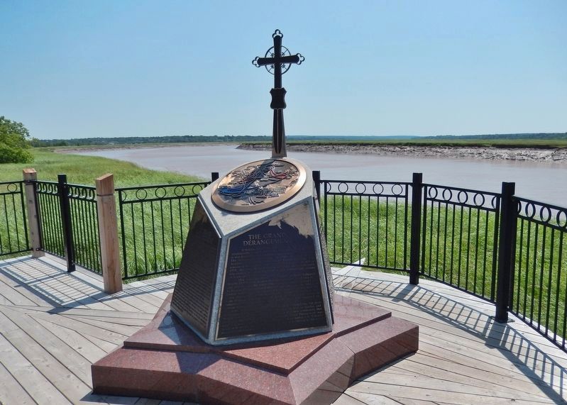
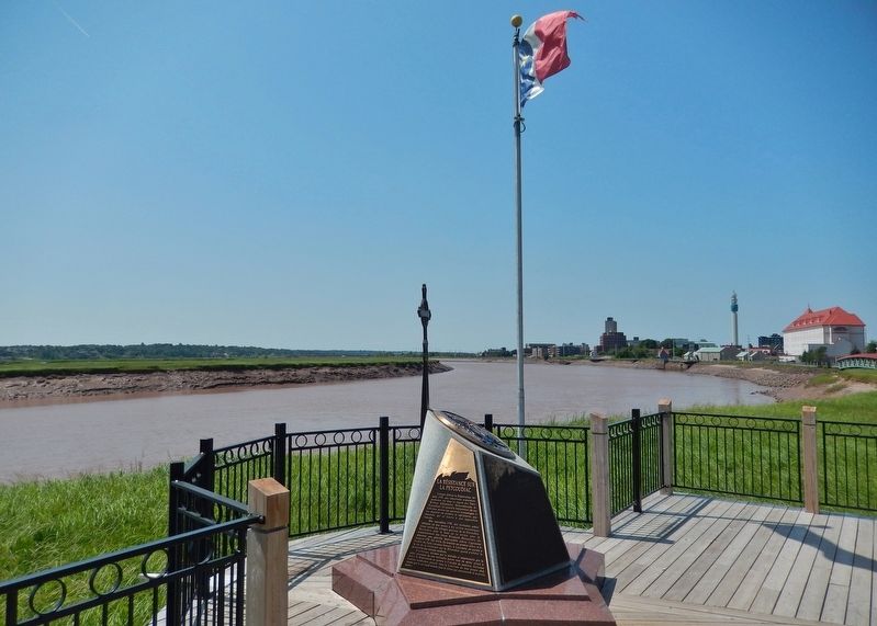
More about this marker. This monument/marker is made up of four panels, two in English and two in French. Each language has a panel dealing with The Grand Dérangement in general and another specific to the Petitcodiac River (here). On top is a round medallion featuring a map showing Acadian deportation routes, and a miniature replica of the Nova Scotia Deportation Cross.
Regarding The Grand Dérangement. There are numerous instances of this monument/marker located at Acadian historic sites in Canada and The United States. Each presents some unique details of local Acadian history at that site.
Also see . . .
1. Expulsion of the Acadians (Wikipedia). The Expulsion of the Acadians, also known as the Grand Dérangement, was the forced removal by the British of the Acadian people from the present day Canadian Maritime provinces of Nova Scotia, New Brunswick, Prince Edward Island and northern Maine. The Expulsion occurred during
the French and Indian War and was part of the British military campaign against New France. (Submitted on June 6, 2020, by Cosmos Mariner of Cape Canaveral, Florida.)
2. Petitcodiac River (Wikipedia). Acadians from Port Royal, Nova Scotia colonized the region in 1698, but were expelled in 1755 during the Seven Years' War. Acadian resistance fighters in Village-des-Blanchard (now Hillsborough) fought under the command of French leader Charles Deschamps de Boishébert in the Battle of Petitcodiac to fend off British troops and suffered the destruction of most of their settlement. (Submitted on June 6, 2020, by Cosmos Mariner of Cape Canaveral, Florida.)
Photographed By Cosmos Mariner, July 28, 2019
7. The Grand Dérangement / Le Grand Dérangement Marker
(credits)
(credits)
• • •
(Érigé avec l’appui financier des gouvernements fédéral, provincial et municipal, de La SNA et de la SAANB)
Credits. This page was last revised on June 6, 2020. It was originally submitted on June 5, 2020, by Cosmos Mariner of Cape Canaveral, Florida. This page has been viewed 287 times since then and 44 times this year. Photos: 1, 2, 3, 4, 5, 6, 7, 8, 9. submitted on June 6, 2020, by Cosmos Mariner of Cape Canaveral, Florida.
