
Collinsville in St. Clair County, Illinois — The American Midwest (Great Lakes)
You Are Walking Where a Cahokia Neighborhood Once Stood
Photographed by Jason Voigt, June 8, 2020
1. You Are Walking Where a Cahokia Neighborhood Once Stood Marker
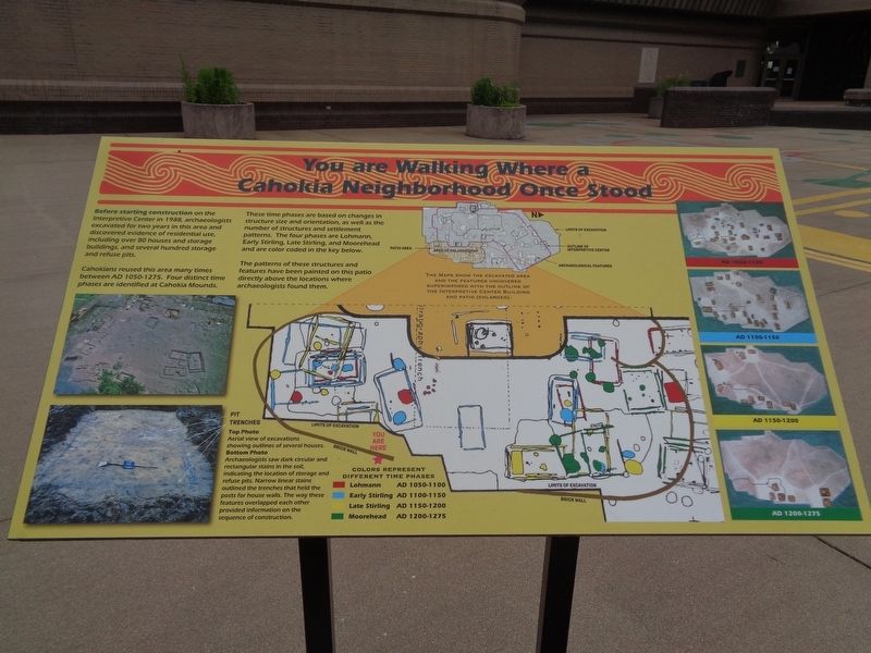
Before starting construction on the Interpretive Center in 1988, archaeologists excavated for two years in this area and discovered evidence of residential use, including over 80 houses and storage buildings, and several hundred storage and refuse pits.
Cahokians reused this area many times between AD 1050-1275. Four distinct time phases are identified at Cahokia Mounds.
These time phases are based on changes in structure size and orientation, as well as the number of structures and settlement patterns. The four phases are Lohmann, Early Stirling, Late Stirling, and Moorehead and are color coded in the key below.
The patterns of these structures and features have been painted on this patio directly above the locations where archaeologists found them.
Erected 2020 by Cahokia Mounds.
Topics. This historical marker is listed in these topic lists: Anthropology & Archaeology • Indigenous Peoples and Communities • Settlements & Settlers.
Location. 38° 39.277′ N, 90° 3.534′ W. Marker is in Collinsville, Illinois, in St. Clair County. It is on Ramey
this page online

Regionally, this marker is in Greater St. Louis. It is also in the American Midwest, in the Lewis & Clark Corridor, in the Corn Belt, and in the Great River Road Region. Globally, it is in North America, the Western Hemisphere, the Western World, and the Anglosphere. Historically, it finds itself in what was once the Viceroyalty of New France, the territory of the Mississippian Culture, and the Northwest Territory.
Other nearby markers. At least 8 other markers are within walking distance of this marker: Cahokia Mounds (within shouting distance of this marker); Cahokia (within shouting distance of this marker); Interpretive Center Tract (about 500 feet away, measured in a direct line); Grand Plaza (about 600 feet away); Mound 55 (about 600 feet away); The South Stockade (approx. 0.2 miles away); Mound 50 (approx.
Photographed by Jason Voigt, June 8, 2020
2. You Are Walking Where a Cahokia Neighborhood Once Stood Marker
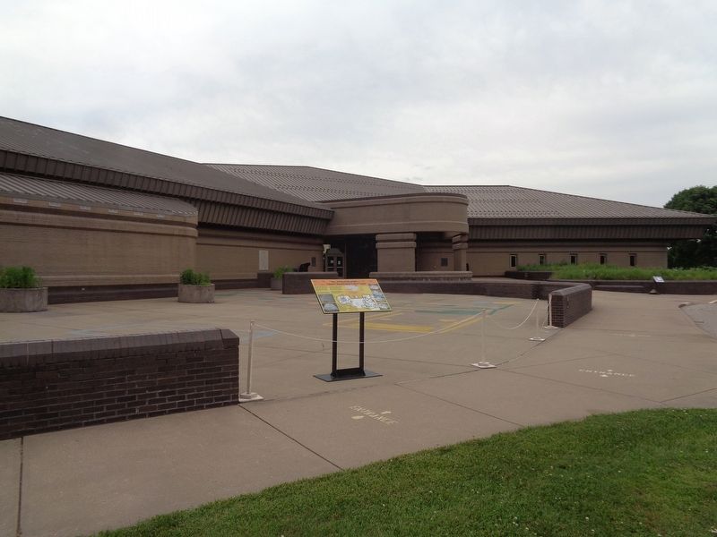
In front of the Cahokia Mounds' Interpretative Center building.
Also see . . . Exhibit gets a Much Needed Update. The entire Cahokia Mounds site, including the outdoor parts, were shut down because of the COVID-19 pandemic from mid-March to mid-May, 2020. During this time, workers repainted an outdoor exhibit (in front of the Interpretative Center) for the first time in over 30 years. This post is from Cahokia Mounds' official website. (Submitted on June 9, 2020, by Jason Voigt of Glen Carbon, Illinois.)
Photographed by Jason Voigt, June 8, 2020
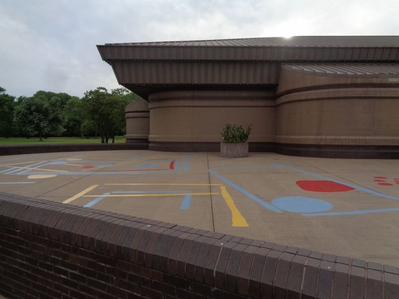
3. Color-coded phases of Cahokia structures
A close-up of the newly repainted areas of what was believed to exist during certain eras in Cahokia
Credits. This page was last revised on August 27, 2020. It was originally submitted on June 9, 2020, by Jason Voigt of Glen Carbon, Illinois. This page has been viewed 295 times since then and 27 times this year. Photos: 1, 2, 3. submitted on June 9, 2020, by Jason Voigt of Glen Carbon, Illinois. • Devry Becker Jones was the editor who published this page.
