Colbyville in Bolton in Chittenden County, Vermont — The American Northeast (New England)
The Long Trail

Photographed by Dennis Gilkenson, June 8, 2020
1. The Long Trail Marker
Erected by Vermont Historic Sites Commission.
Topics and series. This historical marker is listed in these topic lists: Parks & Recreational Areas • Roads & Vehicles. In addition, it is included in the Vermont Division for Historic Preservation Markers series list. A significant historical year for this entry is 1910.
Location. 44° 22.764′ N, 72° 54.72′ W. Marker is in Bolton, Vermont, in Chittenden County. It is in Colbyville. It is on Vermont Route 2, on the left when traveling east. Marker is in the Long Trail parking lot, east of Notch Road. Touch for map. Marker is in this post office area: Waterbury VT 05676, United States of America. Touch for directions.

Regionally, this marker is in the Champlain Valley and in Greater Burlington. It is also in the American Northeast and in New England. Globally, it is in
this page online
Other nearby markers. At least 8 other markers are within 5 miles of this marker, measured as the crow flies: Bolton Honor Roll (approx. 1.4 miles away); a different marker also named Bolton Honor Roll (approx. 1.4 miles away); Edmunds' Birthplace (approx. 2½ miles away); Huntington Gorge / Deaths at the Huntington Gorge (approx. 2.9 miles away); First Statewide Vermont Veterans Day Observance (approx. 4.4 miles away); Veterans Memorial (approx. 4.4 miles away); The Round Church (approx. 4½ miles away); The Round Church / Richmond, Vermont (approx. 4½ miles away). Touch for a list and map of all markers in Bolton.
Also see . . . Long Trail (Wikipedia). (Submitted on June 11, 2020, by Michael Herrick of Southbury, Connecticut.)
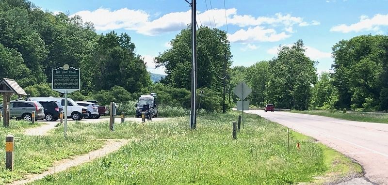
Photographed by Dennis Gilkenson, June 8, 2020
2. Long Trail Marker
Credits. This page was last revised on June 26, 2026. It was originally submitted on June 9, 2020, by Dennis Gilkenson of Saxtons River, Vermont. This page has been viewed 432 times since then and 38 times this year. Photos: 1, 2. submitted on June 9, 2020, by Dennis Gilkenson of Saxtons River, Vermont. • Michael Herrick was the editor who published this page.
