Near Notasulga in Macon County, Alabama — The American South (East South Central)
Shiloh Missionary Baptist Church Cemetery
Photographed by Mark Hilton, June 11, 2020
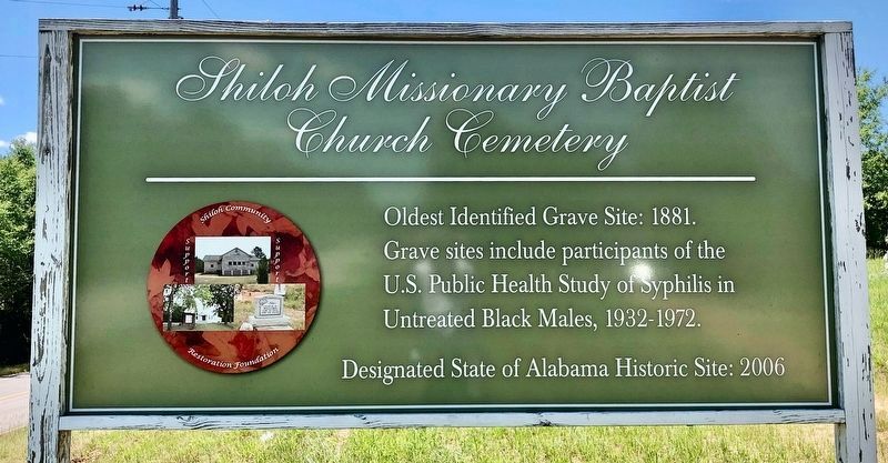
1. Shiloh Missionary Baptist Church Cemetery Marker
Oldest Identified Grave Site: 1881.
Grave sites include participants of the
U.S. Public Health Study of Syphilis in
Untreated Black Males, 1930-1972.
Designated State of Alabama Historic Site: 2006
Erected by Shiloh Community Restoration Foundation.
Topics. This historical marker is listed in these topic lists: African Americans • Cemeteries & Burial Sites • Science & Medicine. A significant historical year for this entry is 1881.
Location. 32° 31.128′ N, 85° 40.887′ W. Marker is unreadable. Marker is near Notasulga, Alabama, in Macon County. It is on Alabama Route 81 south of Pistol Range Road, on the right. Touch for map. Marker is in this post office area: Notasulga AL 36866, United States of America. Touch for directions.

Regionally, this marker is in the American South, specifically in the Deep South, and in the Black Belt. Globally, it is in North America, a Gulf of Mexico state, the Western Hemisphere, the Western World, and the Anglosphere. Historically, it finds itself in what was once the territory of the Mississippian Culture, one of the Confederate States of America, and the
this page online
Other nearby markers. At least 8 other markers are within 4 miles of this location, measured as the crow flies: Shiloh-Rosenwald School / Shiloh Missionary Baptist Church (approx. 0.6 miles away); Shiloh Missionary Baptist Church "The Tree" (approx. 0.7 miles away); Shiloh Missionary Baptist Church - Baptismal (approx. 0.7 miles away); Shiloh Missionary Baptist Church - Church Privies (approx. 0.7 miles away); Camp Watts (approx. 1.1 miles away); Notasulga (approx. 2.9 miles away); Birthplace of Zora Neale Hurston (approx. 3.4 miles away); Bethlehem (approx. 3½ miles away). Touch for a list and map of all markers in Notasulga.
Also see . . .
1. Wikipedia article on the Tuskegee Syphilis Experiment. (Submitted on June 11, 2020, by Mark Hilton of Montgomery, Alabama.)
2. Wikipedia article on the Shiloh Missionary Baptist Church. (Submitted on June 11, 2020, by Mark Hilton of Montgomery, Alabama.)
Photographed by Mark Hilton, June 11, 2020
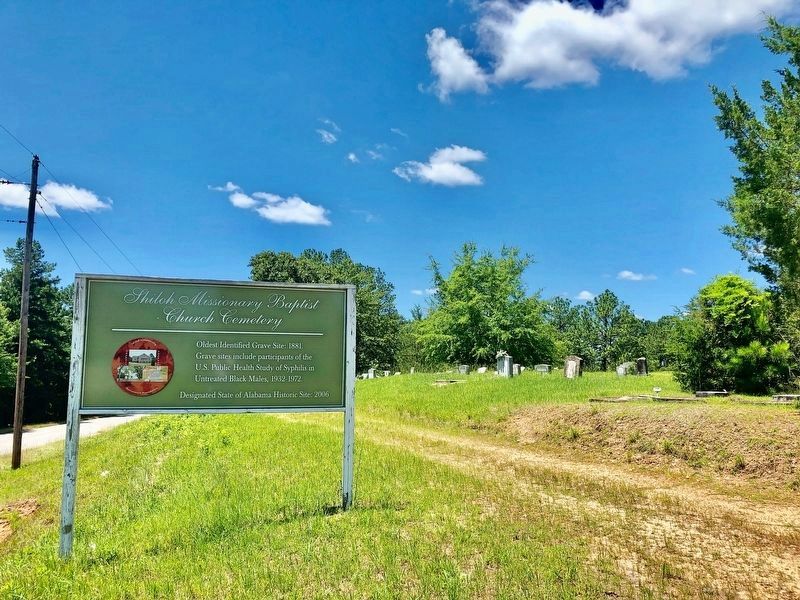
2. Shiloh Missionary Baptist Church Cemetery and marker
Photographed by Mark Hilton, June 7, 2016
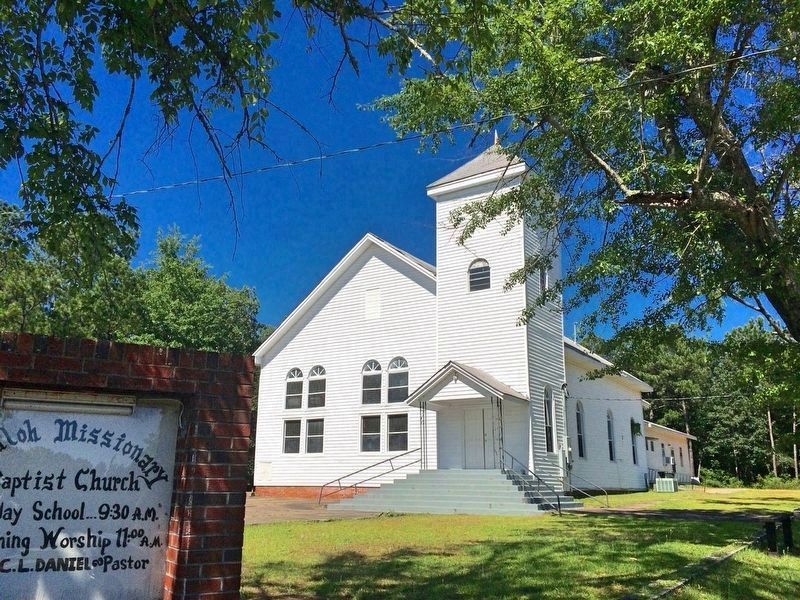
3. The Shiloh Missionary Baptist Church
Notices would be sent to subjects of the Tuskegee Syphilis Study. They were instructed to meet at a central location to be picked up for testing. The Shiloh Missionary Baptist Church was one of these gathering locations. Located about 3700 feet north of the cemetery.
Photographed by James L.Whitman, June 27, 2026
4. Shiloh Missionary Baptist Church Cemetery Marker
Credits. This page was last revised on August 4, 2026. It was originally submitted on June 11, 2020, by Mark Hilton of Montgomery, Alabama. This page has been viewed 615 times since then and 67 times this year. Photos: 1, 2, 3. submitted on June 11, 2020, by Mark Hilton of Montgomery, Alabama. 4. submitted on June 28, 2026, by James L.Whitman of Eufaula, Alabama.
