Near Port Royal in Caroline County, Virginia — The American South (Mid-Atlantic)
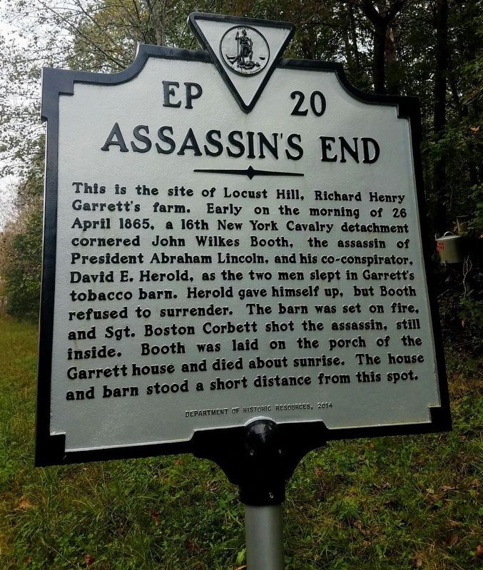
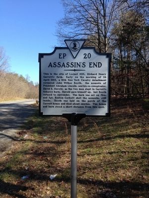
Assassin's End
Erected 2014 by Department of Historic Resources. (Marker Number EP-20.)
Topics and series. This historical marker is listed in this topic list: War, US Civil. In addition, it is included in the Booth's Escape, and the Virginia Department of Historic Resources (DHR) series lists. A significant historical date for this entry is April 26, 1865.
Location. 38° 8.39′ N, 77° 13.723′ W. Marker is near Port Royal, Virginia, in Caroline County. Marker is on AP Hill Boulevard (U.S. 301) 2.3 miles south of Tidewater Trail (U.S. 17), on the right when traveling north. Touch for map. Marker is in this post office area: Port Royal VA 22535, United States of America. Touch for directions.
Other nearby markers. At least 8 other markers are within 3 miles of this marker, measured as the crow flies. Where Booth Died (approx. 2.2 miles away); Hazelwood (approx. 2.6 miles away); Old Port Royal (approx. 2.8 miles away); The Sacred Lot (approx. 2.9 miles away); Port Royal (approx. 2.9 miles away); The Fox Tavern: A Colonial Landmark (approx. 3 miles away); Dorothy Roy (approx. 3 miles away); The Earliest Inhabitants: Native Americans (approx. 3 miles away). Touch for a list and map of all markers in Port Royal.
Also see . . .
1. Old Marker at this Location. This marker replaced an older one (HMdB Marker #1584) at this location entitled “John Wilkes Booth”, both having the same marker number EP-20 but changed text. (Submitted on March 4, 2016.)
2. Booth's Escape Byway, Maryland Office of Tourism. (Submitted on August 19, 2019.)
Credits. This page was last revised on April 3, 2024. It was originally submitted on March 3, 2016, by Brandon D Cross of Flagler Beach, Florida. This page has been viewed 9,573 times since then and 968 times this year. Last updated on June 12, 2020, by Carl Gordon Moore Jr. of North East, Maryland. Photos: 1. submitted on April 18, 2021, by Bradley Owen of Morgantown, West Virginia. 2. submitted on March 3, 2016, by Brandon D Cross of Flagler Beach, Florida. • Bernard Fisher was the editor who published this page.

