Aldie in Loudoun County, Virginia — The American South (Mid-Atlantic)
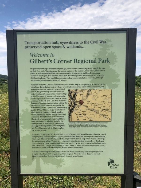
Welcome to Gilbert's Corner Regional Park
Transportation hub, eyewitness to the Civil War, preserved open space & wetlands…

Photographed By Devry Becker Jones (CC0), June 13, 2020
1. Welcome to Gilbert's Corner Regional Park Marker
Imagine this landscape thousands of years ago, when Native Americans passed through the area on their foot path. Traveling along the eastern section of the current United States, south before winter arrived and north before the summer months, Susquehanna and later Iroquois and Tuscarora tread upon their trail that by the mid-18th century would become the roadbed of the Old Carolina Road. They would have seen the rolling countryside before you today, although without the paved roadways and traffic circles!
A section of the Old Carolina Road traversed the eastern edge of this property. It intersected the Little River Turnpike (current-day Route 50) in the location of the traffic circle behind you, and would have been an important geographical spot in the 19th century because of the two major roads, and because of the relatively high ground in this area. You can still see remains of the original roadbed across Route 50, to the west side of the Mt. Zion Cemetery stone wall. Because of its prime transportation setting, this location became a major crossing point for both the Union and Confederate armies during the Civil War. While no major conflict took place on these grounds, certainly soldiers, horses and supply wagons traversed this land constantly during the four years of warfare. Hundreds of troops and horses would have been on this property before and after the cavalry battles at nearby Aldie, Middleburg and Upperville in June 1863, and the fight at Mt. Zion Church on July 6, 1864 took place just across the road.
The years following the Civil War brought not only peace to this part of Loudoun, but also growth and prosperity. William Augustus Gilbert purchased land where the new highway from the north, Route 15, met Route 50 in the 1920s. He built a gas station there in 1927, where he sold Sinclair gas for 12 to 15 cents a gallon. This corner — it was not yet an intersection because Rt. 15 dog-legged there — became known as Gilbert's Corner, and travelers would stop for gas as well as homemade ham sandwiches. The gas station closed in 1982. Gilbert's Corner became an intersection by 1941, and in more recent years a traffic circle, but the name has remained.
Gilbert's Corner Regional Park, owned by NOVA Parks, preserves 155 acres of open space that is highly valued in today's congested northern Virginia. We invite you to discover our park — home to wetlands, a chestnut orchard, and a rich and varied history.
Erected by NOVA Parks.
Topics and series. This historical marker is listed in these topic lists: Industry & Commerce • Native Americans

Photographed By Devry Becker Jones (CC0), June 13, 2020
2. Welcome to Gilbert's Corner Regional Park Marker
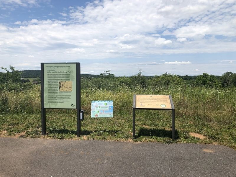
Location. 38° 57.902′ N, 77° 36.598′ W. Marker is in Aldie, Virginia, in Loudoun County. Marker is at the intersection of Watson Road (Virginia Route 860) and John S. Mosby Highway (U.S. 50), on the left when traveling north on Watson Road. Touch for map. Marker is at or near this postal address: 23557 Watson Rd, Leesburg VA 20175, United States of America. Touch for directions.
Other nearby markers. At least 8 other markers are within walking distance of this marker. Neighbor Against Neighbor (here, next to this marker); This is Gilbert's Corner! (a few steps from this marker); Mt. Zion Old School Baptist Church (about 400 feet away, measured in a direct line); Mt. Zion Church (about 400 feet away); Plain Path…Shenandoah Hunting Path…Carolina Road…Rogue’s Road… (about 500 feet away); Mt. Zion Cemetery (about 500 feet away); Mt. Zion Historic Park (about 500 feet away); Elders of the Mount Zion Old School Baptist Church (about 500 feet away). Touch for a list and map of all markers in Aldie.
Credits. This page was last revised on June 14, 2020. It was originally submitted on June 14, 2020, by Devry Becker Jones of Washington, District of Columbia. This page has been viewed 304 times since then and 31 times this year. Photos: 1, 2, 3. submitted on June 14, 2020, by Devry Becker Jones of Washington, District of Columbia.
