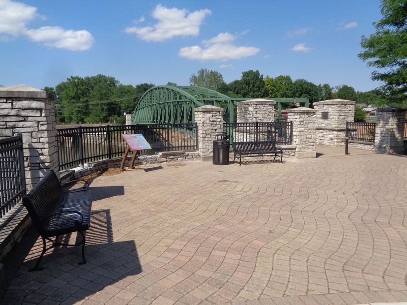
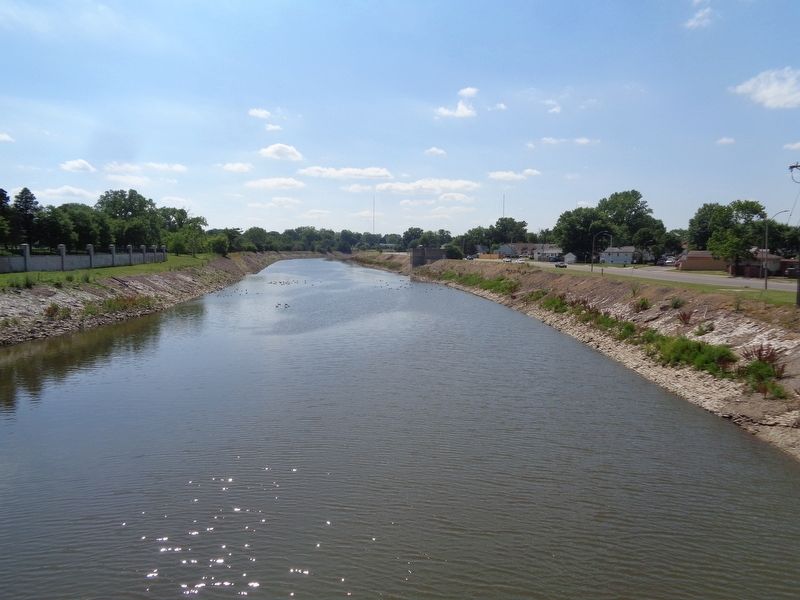
Boulevard Heights in St. Louis, Missouri — The American Midwest (Upper Plains)
River des Peres
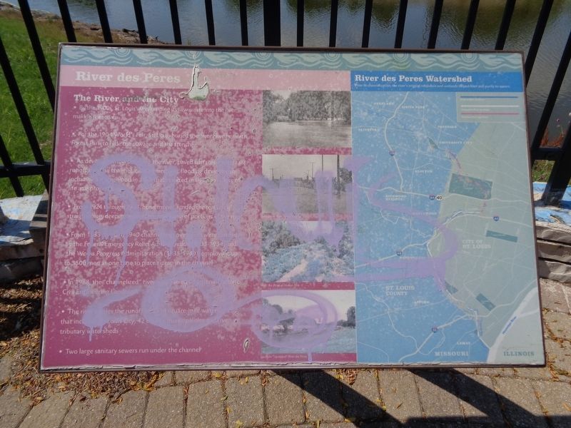
The River and the City
• By the 1900s, St. Louis was dumping its raw waste into the river, making it a sewer
• For the 1904 World's Fair, St. Louis buried the river alive beneath Forest Park to hide the sewage and the stench
• As development grew along the river, paved surfaces forced rain runoff into the channel, causing frequent flooding downstream including a major flood in 1915 that resulted in significant loss of life and property
• From 1924 through 1933, bond money funded the rerouting, straightening, deepening and concrete lining of portions of the river
• From 1933 through 1940 channel improvements were funded by the Federal Emergency Relief Administration (1933-1934) and the Works Progress Administration (1935-1940) employing up to 3500 men at one time to place riprap in the channel
• In 1988, the "channelized" river was named a National Historic Civil Engineering Landmark
• The river carries the runoff of a (unreadable) square-mile watershed that includes St. Louis City, 42 county municipalities and five tributary watersheds
• Two large sanitary sewers run under the channel
River Des Peres Watershed
Prior to channelization, the river's original meanders and wetlands helped filter and purify its waters.
Erected by Great Rivers Greenway.
Topics. This historical marker is listed in these topic lists: Parks & Recreational Areas • Waterways & Vessels.
Location. 38° 33.622′ N, 90° 17.129′ W. Marker has been reported damaged. Marker is in St. Louis, Missouri. It is in Boulevard Heights. Marker can be reached from River Des Peres Boulevard, 0.2 miles west of Morganford Road, on the right when traveling west. Marker is off a bike path (River Des Peres Greenway). Touch for map. Marker is at or near this postal address: 7725 River Des Peres Greenway, Saint Louis MO 63116, United States of America. Touch for directions.
Other nearby markers. At least 8 other markers are within 2 miles of this location, measured as the crow flies. Light Field Gun, 75mm, M1897A7 (approx. 1.2 miles away); Dedicated to James B. Eads (approx. 1.7 miles away); Eads' Ironclads (approx. 1.7 miles away); Volunteer Fire Dept. (approx. 1.7 miles away); Iron Mountain Railroad (approx. 1.7 miles away); Susan Blow (approx. 1.7 miles away); Carondelet Hotel (approx. 1.8 miles away); Veterans Memorial (approx. 1.8 miles away). Touch for a list and map of all markers in St. Louis.
Also see . . .
1. River des Peres on Wikipedia. History of the 9.3 mile metropolitan river in Missouri. (Submitted on June 14, 2020, by Jason Voigt of Glen Carbon, Illinois.)
2. River des Peres Greenway. From the Great Rivers Greenway website, there is some information about the trail that runs parallel to the river. Features such as a map of the trail, and recommended parks that link to the trail are on this page. (Submitted on June 14, 2020, by Jason Voigt of Glen Carbon, Illinois.)
Credits. This page was last revised on January 30, 2023. It was originally submitted on June 14, 2020, by Jason Voigt of Glen Carbon, Illinois. This page has been viewed 323 times since then and 46 times this year. Photos: 1, 2, 3. submitted on June 14, 2020, by Jason Voigt of Glen Carbon, Illinois. • Devry Becker Jones was the editor who published this page.


