Fox Hill - Grandview in Hampton, Virginia — The American South (Mid-Atlantic)
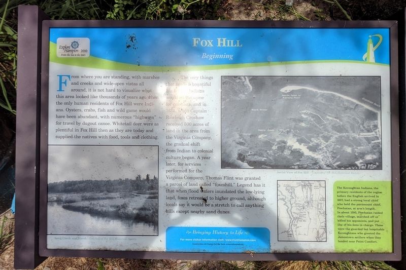
Fox Hill
Beginning
Photographed by Bernard Fisher, June 14, 2020
1. Fox Hill Marker
The very things that made a bountiful life for the Indians would do the same for colonists, and in 1625, when Captain Rawleigh Croshaw received 500 acres of land from the Virginia Company, the gradual shift from Indian to colonial culture began. A year later, for services performed for the Virginia Company, Thomas Flint was granted a parcel of land called "foxeshill." Legend has it that when flood waters inundated the low-lying land, foxes retreated to higher ground, although locals say it would be a stretch to call anything hills except nearby sand dunes.
(sidebar)
The Kecoughtan Indians, the primary residents of the region before the English arrived in 1607, had
this page online
(captions)
Long Creek and Marsh - Courtesy of Fox Hill Historical Society
Aerial View of Fox Hill - Courtesy of Fox Hill Historical Society
Erected by Bringing History to Life in partnership with Virginia Civil War Terails.
Topics. This historical marker is listed in these topic lists: Colonial Era • Indigenous Peoples and Communities.
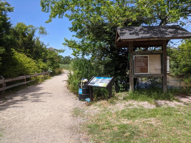
Location. 37° 4.754′ N, 76° 16.648′ W. Marker is in Hampton, Virginia. It is in Fox Hill - Grandview. It can be reached from the intersection of State Park Drive and Adriatic Drive when traveling north. Located in the Grandview Nature Preserve. Touch for map. Marker is in this post office area: Hampton VA 23664, United States of America. Touch for directions.

Regionally, this marker is on Virginia’s Peninsula and in Coastal
Photographed by Bernard Fisher, June 14, 2020
2. Fox Hill Marker
Other nearby markers. At least 8 other markers are within 3 miles of this marker, measured as the crow flies: A different marker also named Fox Hill (a few steps from this marker); a different marker also named Fox Hill (within shouting distance of this marker); a different marker also named Fox Hill (within shouting distance of this marker); a different marker also named Fox Hill (within shouting distance of this marker); Back River Lighthouse Ruins (approx. 0.2 miles away); Buckroe Beach (approx. 2.7 miles away); Buckroe (approx. 2.8 miles away); a different marker also named Buckroe Beach (approx. 2.8 miles away). Touch for a list and map of all markers in Hampton.
Credits. This page was last revised on February 1, 2023. It was originally submitted on June 15, 2020, by Bernard Fisher of Richmond, Virginia. This page has been viewed 389 times since then and 26 times this year. Photos: 1, 2. submitted on June 15, 2020, by Bernard Fisher of Richmond, Virginia.
