Near Burns in Dickson County, Tennessee — The American South (East South Central)
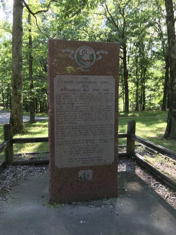
The Civilian Conservation Corps and Montgomery Bell State Park
Inscription.
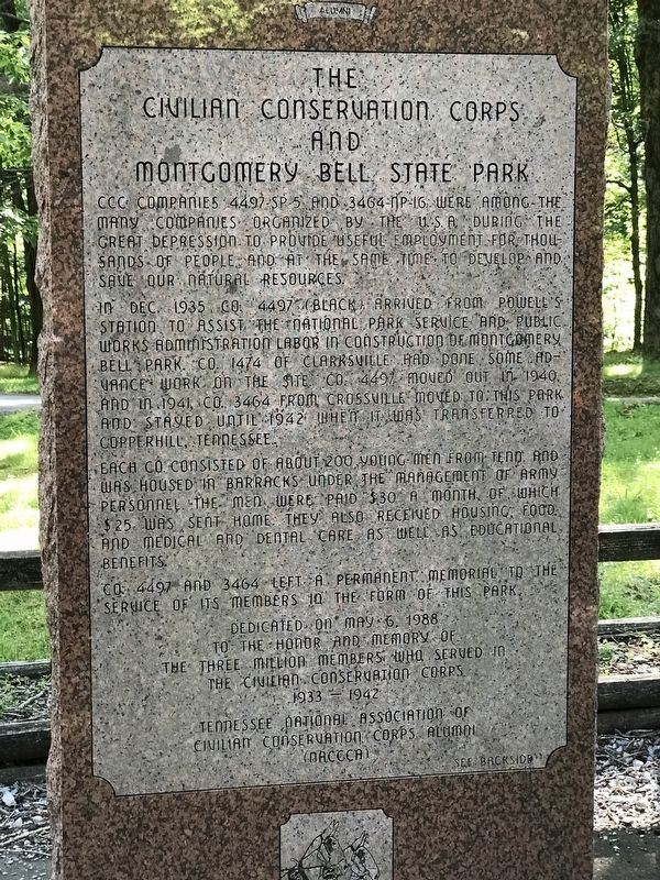
CCC companies 4497-SP-5 and 3464-NP-16 were among the many companies organized by the U.S.A. during the Great Depression to provide useful employment for thousands of people and at the same time to develop and save our natural resources.
In Dec. 1935 Co. 4497 (Black) arrived from Powell's Station to assist the National Park Service and Public Works Administration labor in construction of Montgomery Bell Park. Co. 1474 of Clarksville had done some advance work on the site. Co. 4497 moved out in 1940, and in 1941, Co. 3464 from Crossville moved to this park and stayed until 1942 when it was transferred to Copperhill, Tennessee.
Each co. consisted of about 200 young men from Tenn. and was housed in barracks under the management of army personnel. The men were paid $30 a month, of which $25 was sent home. They also received housing, food, and medical and dental care as well as educational benefits.
Co. 4497 and 3464 left a permanent memorial to the service of its members in the form of this park.
to the honor and memory of
the three million members who served in
the Civilian Conservation Corps
1933 — 1942
Tennessee National Association of
Civilian Conservation Corps Alumni
(NACCA)
[Reverse]
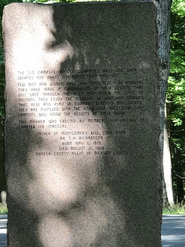
The old campsite of CCC companies 4497 and 3464 is located 530 yards northwest from this site.
Few men and women have the satisfaction of knowing they have made a contribution in their lifetime that will last through the ages and touch the lives of millions. They enjoy the pleasure of watching families that rest and play in comfort, serenity and safety. They are fulfilled with the knowledge successive generations will know the results of their work.
This marker was erected by members and friends of Chapter 126 (NACCCA).
Mr. T. H. Richardson
Born May 6, 1876
Died August 21, 1968
Pioneer County Agent of Dickson County
Erected 1988 by Tennessee National Association of Civilian Conservation Corps Alumni.
Topics and series. This historical marker is listed in these topic lists: African Americans • Charity & Public Work • Environment • Parks & Recreational Areas. In addition, it is included in the Civilian Conservation Corps (CCC) series list. A significant historical month for this entry is December 1935.
Location. 36° 4.954′ N, 87° 16.639′ W. Marker is near Burns, Tennessee, in Dickson County. Marker is at the intersection of Jackson Hill Road and Camp II Road, on the right when traveling
south on Jackson Hill Road. Touch for map. Marker is at or near this postal address: 122 Camp II Rd, Burns TN 37029, United States of America. Touch for directions.
Other nearby markers. At least 8 other markers are within 4 miles of this marker, measured as the crow flies. McNairy’s Attack (approx. 0.8 miles away); The Old Log House (approx. one mile away); Cumberland Presbyterian Church Monument (approx. one mile away); The Civilian Conservation Corps (approx. 1.4 miles away); The CCC at Montgomery Bell (approx. 1.4 miles away); Birth of a Church (approx. 1.4 miles away); "Lonesome" Cabin (approx. 3.2 miles away); The Civil War in White Bluffs (approx. 3.4 miles away). Touch for a list and map of all markers in Burns.
Also see . . . Montgomery Bell State Park. Tennessee Encyclopedia entry on the park's creation. By Tennessee Historical Society. (Submitted on June 16, 2020, by Duane and Tracy Marsteller of Murfreesboro, Tennessee.)
Credits. This page was last revised on June 16, 2020. It was originally submitted on June 16, 2020, by Duane and Tracy Marsteller of Murfreesboro, Tennessee. This page has been viewed 300 times since then and 39 times this year. Photos: 1, 2, 3. submitted on June 16, 2020, by Duane and Tracy Marsteller of Murfreesboro, Tennessee. • Devry Becker Jones was the editor who published this page.


