
Pawtucket in Providence County, Rhode Island — The American Northeast (New England)
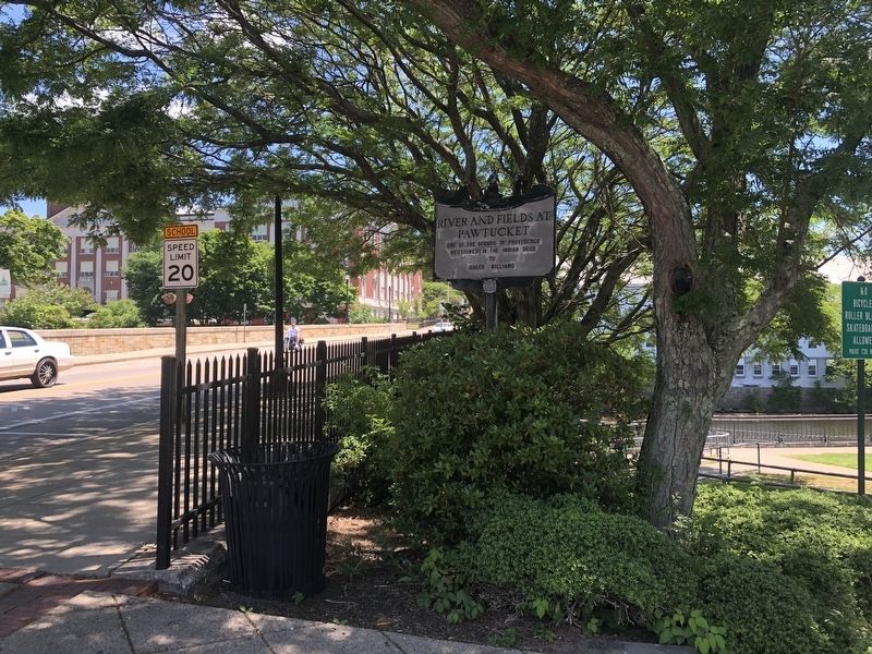
River and Fields at Pawtucket
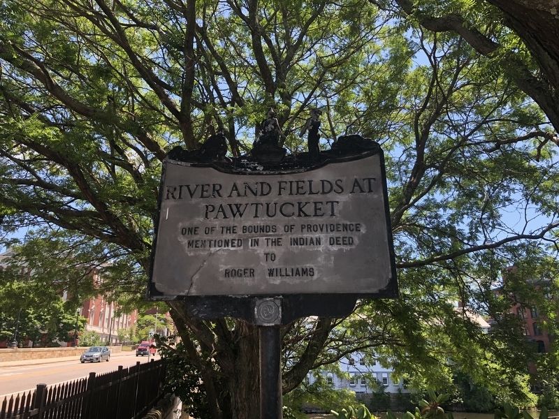
Erected by Colonial Dames of Rhode Island.
Topics. This historical marker is listed in these topic lists: Colonial Era • Indigenous Peoples and Communities • Settlements & Settlers.
Location. 41° 52.79′ N, 71° 22.929′ W. Marker is in Pawtucket, Rhode Island, in Providence County. It is on Exchange Street near Roosevelt Avenue, on the right when traveling east. Touch for map. Marker is at or near this postal address: 142 Exchange St, Pawtucket RI 02860, United States of America. Touch for directions.

Regionally, this marker is in Rhode Island’s Blackstone Valley, in Greater Providence, and on Narragansett Bay. It is also in the American Northeast, in New England, and on the Eastern Seaboard. Globally, it is in the North Atlantic Region, North America, the Western Hemisphere, the Western World, and the Anglosphere. Historically, it finds itself in what was once one of the original Thirteen Colonies.
Other nearby markers. At least 8 other markers are within walking
this page online
Other markers no longer nearby. Slater Mill Historic Site (was about 700 feet away but has been replaced with another marker now near it); Sylvanus Brown House (was about 700 feet away but has been replaced with another marker now near it).
Credits. This page was last revised on June 21, 2020. It was originally submitted on June 21, 2020, by Devry Becker Jones of Washington, District of Columbia. This page has been viewed 359 times since then and 25 times this year. Photos: 1, 2. submitted on June 21, 2020, by Devry Becker Jones of Washington, District of Columbia.
