Downtown in St. Louis, Missouri — The American Midwest (Upper Plains)
Rue de la Tour
Walnut Street
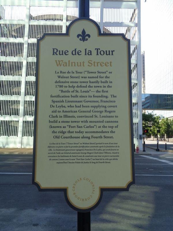
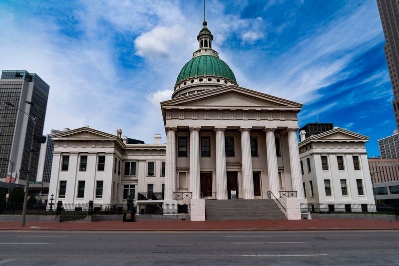
La Rue de la Tour ("Tower Street" or Walnut Street) was named for the defensive stone tower hastily built in 1780 to help defend the town in the "Battle of St. Louis" - the first fortification built since its founding. The Spanish Lieutenant Governor, Francisco De Leyba, who had been supplying covert aid to American General George Rogers Clark in Illinois, convinced St. Louisans to build a stone tower with mounted cannons (known as "Fort San Carlos") at the top of the ridge that today accommodates the Old Courthouse along Fourth Street.
La Rue de la Tour ("Tower Street" ou Walnut Street) portait le nom d'une tour defensive en pierre et fut la premiere fortification construite apres la fondation de la ville. Le lieutenant-gouverneur espagnol, Francisco De Leyba, qui avait fourni en secret de l'aide au General americain George Rogers Clark dans l'Illinois, reussit a convaincre les habitants de Saint Louis de construire une tour en pierre surmontee de canons (connu sous le nom "Fort San Carlos") au haut de la crete qui abrite aujourd'hui l'Ancien Palais de Justice le long de Fourth Street.
Erected 2014 by Creole Colonial Corridor.
Topics. This historical marker is listed in these topic lists: Colonial Era • Forts and Castles • Roads & Vehicles • War, US Revolutionary. A significant historical year for this entry is 1780.
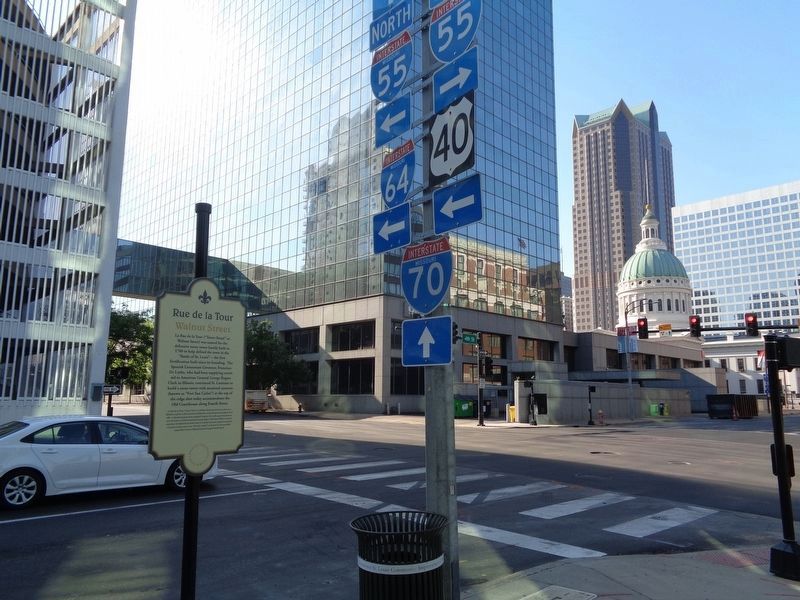
Location. 38° 37.445′ N, 90° 11.35′ W. Marker is in St. Louis, Missouri. It is in Downtown. Marker is on South 4th Street south of Walnut Street, on the right when traveling north. Touch for map. Marker is at or near this postal address: 100 S 4th St, Saint Louis MO 63102, United States of America. Touch for directions.
Other nearby markers. At least 8 other markers are within walking distance of this marker. Phelim O'Toole (a few steps from this marker); Battle of St. Louis (within shouting distance of this marker); American Zinc Building (within shouting distance of this marker); Engineers' Club of St. Louis (within shouting distance of this marker); Rue des Granges (about 300 feet away, measured in a direct line); Chief Pontiac (about 300 feet away); International Fur Exchange (about 400 feet away); Abraham Lincoln Slept Here (about 400 feet away). Touch for a list and map of all markers in St. Louis.
More about this marker. This is one of seven markers by the Creole Colonial Corridor (a.k.a. Les Amis) that was placed in St. Louis (October 2014), in honor of the city's 250th birthday.
Also see . . . Battle of St. Louis on Wikipedia. Also known as the Battle of Fort San Carlos, this was the only American Revolution battle to take place west of the Mississippi River. (Submitted on June 23, 2020, by Jason Voigt of Glen Carbon, Illinois.)
Credits. This page was last revised on January 30, 2023. It was originally submitted on June 23, 2020, by Jason Voigt of Glen Carbon, Illinois. This page has been viewed 236 times since then and 28 times this year. Photos: 1, 2. submitted on June 23, 2020, by Jason Voigt of Glen Carbon, Illinois. 3. submitted on October 3, 2022, by J.T. Lambrou of New Boston, Michigan. • J. Makali Bruton was the editor who published this page.


