Worcester in Worcester County, Massachusetts — The American Northeast (New England)
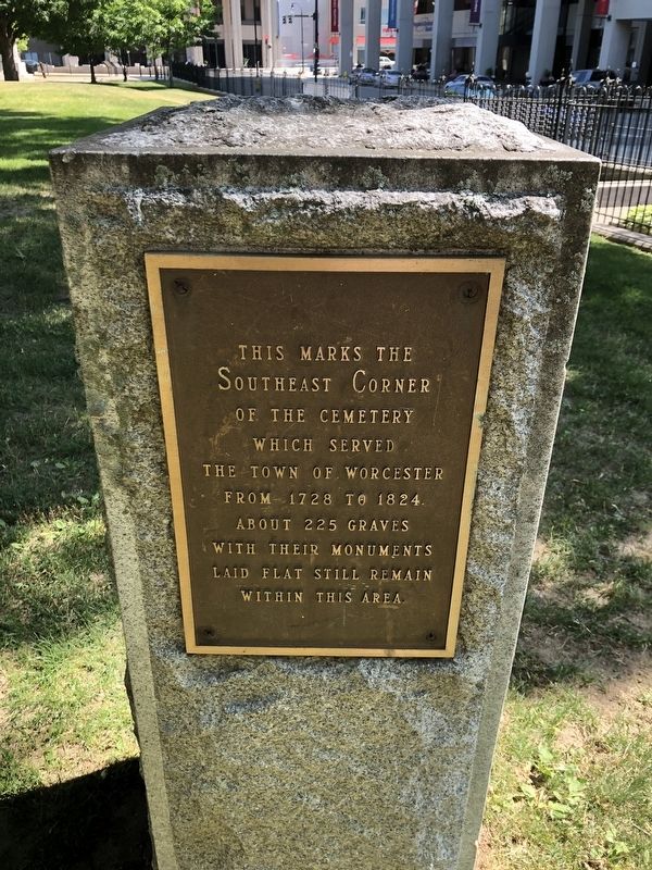
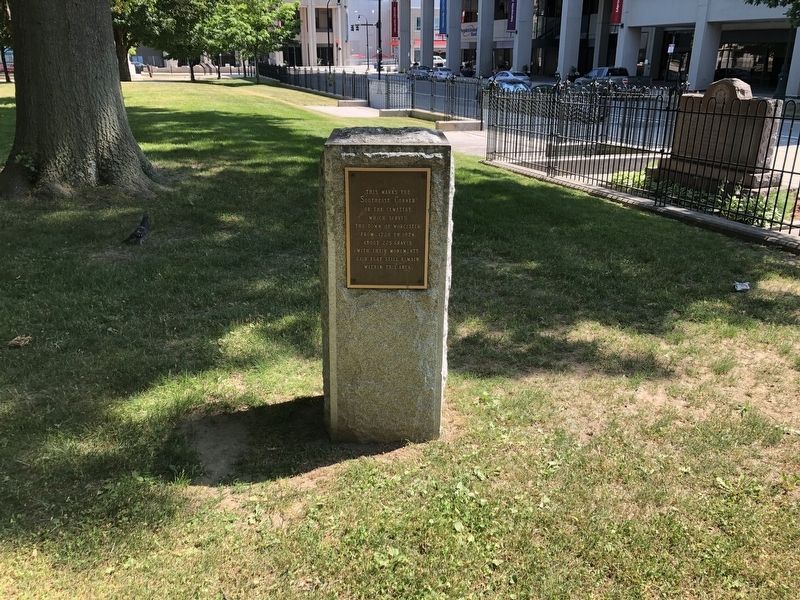
Southeast Corner of the Worcester Cemetery

Photographed By Devry Becker Jones (CC0), June 20, 2020
1. Southeast Corner of the Worcester Cemetery Marker
Topics. This historical marker is listed in these topic lists: Cemeteries & Burial Sites • Colonial Era. A significant historical year for this entry is 1728.
Location. 42° 15.696′ N, 71° 48.029′ W. Marker is in Worcester, Massachusetts, in Worcester County. Marker is at the intersection of Franklin Street and Church Street, on the right when traveling west on Franklin Street. Touch for map. Marker is at or near this postal address: 68 Franklin St, Worcester MA 01608, United States of America. Touch for directions.
Other nearby markers. At least 8 other markers are within walking distance of this marker. The Official State Monument For Veterans Of The Southwest Asian War (a few steps from this marker); Memorial (within shouting distance of this marker); Vietnam Memorial (within shouting distance of this marker); Northeast Corner of the Worcester Cemetery (within shouting distance of this marker); World War II Time Capsule (within shouting distance of this marker); To The Memory Of Her Sons Who Died For The Unity Of The Republic (within shouting distance of this marker); War in the Pacific (within shouting distance of this marker); The Home Front (within shouting distance of this marker). Touch for a list and map of all markers in Worcester.

Photographed By Devry Becker Jones (CC0), June 20, 2020
2. Southeast Corner of the Worcester Cemetery Marker
Credits. This page was last revised on June 23, 2020. It was originally submitted on June 23, 2020, by Devry Becker Jones of Washington, District of Columbia. This page has been viewed 96 times since then and 14 times this year. Photos: 1, 2. submitted on June 23, 2020, by Devry Becker Jones of Washington, District of Columbia.