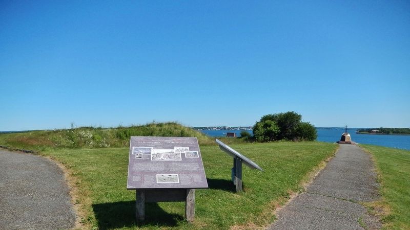
Rocky Point in Queens County, Prince Edward Island — The Atlantic Provinces (North America)
The British Period / La période britannique
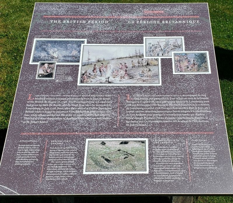
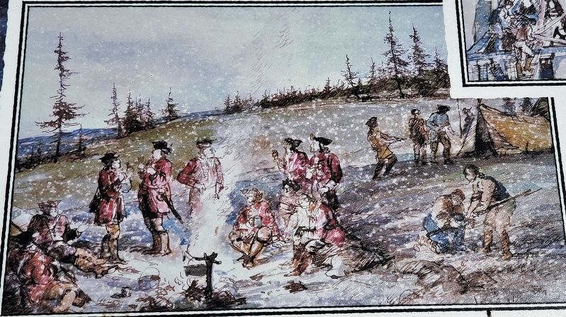
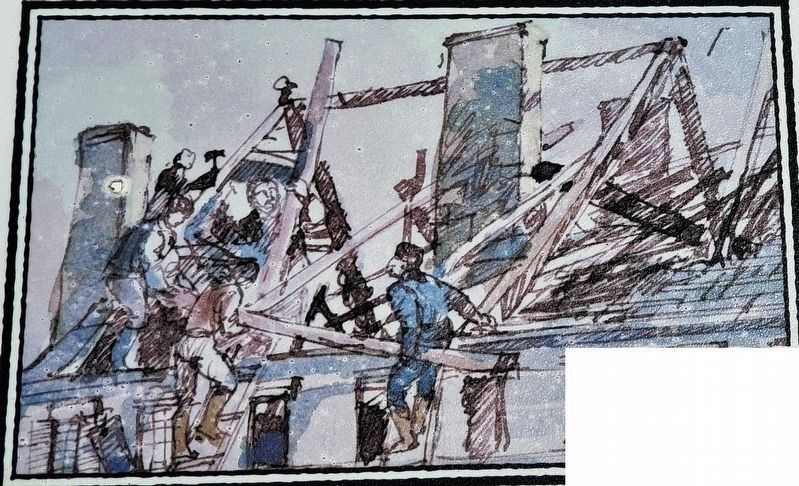
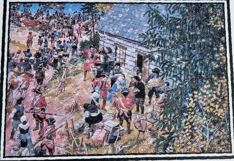
Lieutenant-Colonel Andrew Rollo arrived with a force of five hundred soldiers and took possession of Port-la-Joye on behalf of the British on August 17, 1758. The French governor at Louisbourg had given up both Île Royale and Île Saint-Jean when he surrendered Louisbourg in July 1758. Soon after their arrival at Port-la-Joye, some British soldiers began to construct Fort Amherst to protect their new base while others carried out the order to remove all French subjects. This led to a mass deportation of Acadians from what was now known as St. John’s Island.
A Historical Footnote
Records indicate that the British soldiers, with no wars to fight, found other ways to pass the time. In fact, several soldiers were court-martialed when, after drinking excessively, they were discovered plotting a mutiny.
Explore Fort Amherst
Fort Amherst was built almost on top of the site of the original French fort, and it was from here that for the next ten years the British exercised military and political control over the Island.
The square, grassy mound before you is what remains of this British earthwork. The depressions are from the cellars of eight buildings, which included the commandant’s office, officers’ quarters, a bake house, a forge, storehouses and a prison.
Le lieutenant-colonel Andrew Rollo, accompagné de cinq cents soldats, prit possession de Port-la-Joye au nom des Grande-Bretagne le 17 août 1758, car le gouverneur français de Louisbourg avait cédé aux Britanniques l’Île Royale et l’Île Saint-Jean lors de la reddition de Louisbourg en juillet 1758. Peu après leur arrivée à Port-la-Joye, un certain nombre de soldats britanniques furent assignés à la construction de fort Amherst pour protéger la nouvelle base tandis que d’autres furent chargés d’exécuter l’ordre d’expulser tous les sujets français, ce qui donna lieu à la déportation massive des Acadiens de l’Île, devenu St. John’s Island.
Anecdote historique
D’après les documents d’archives, les soldats britanniques, qui n’avaient pas de guerre pour les tenir occupés, ont trouvé d’autres moyens de passer le temps. Plusieurs soldats trouvés ivres furent en effet traduits en cour martiale quand il a été découvert qu’ils préparaient un mutinerie.
À la Découverte de Fort Amherst
Fort Amherst a été construit presqu’au même emplacement que celui du fort français original et c’est depuis cet endroit que les les Britanniques

Nova Scotia Archives and Records Management
2. Marker detail: Louisbourg Surrenders, July 1758 /
Reddition de Louisbourg en juillet 1758
Reddition de Louisbourg en juillet 1758
• • •
Fort Amherst reçut son nom de Jeffery Amherst, commandant en chef des forces britanniques à Louisbourg.
Le monticule carré et gazonné devant vous est tout ce qui reste des remblais britanniques. Les dépressions correspondent aux caves de huit bâtiments, dont le bureau du commandant, le quartier des officiers, un fournil, une forge, des magasins et une prison.
Topics. This historical marker is listed in these topic lists: Colonial Era • Forts and Castles • Settlements & Settlers • Wars, Non-US. A significant historical month for this entry is July 1758.
Location. 46° 11.811′ N, 63° 8.18′ W. Marker is in Rocky Point, Prince Edward Island, in Queens County. Marker can be reached from Hache Gallant Drive, 1.2 kilometers east of Prince Edward Island Route 19, on the left when traveling east. Marker is located along the heritage trail at Skmaqn–Port-la-Joye–Fort Amherst National Historic Site. Touch for map. Marker is at or near this postal address: 191 Hache Gallant Drive, Rocky Point PE C0A 1H2, Canada. Touch for directions.
Other nearby markers. At least 8 other markers are within walking distance of this marker. A Great Survey / Un Arpentage de Taille (here, next to this marker); The Grand Dérangement (within shouting distance of this marker); A Human Tragedy / Une tragédie humaine (within shouting distance of this marker); Port of Entry / Port d’entrée (within shouting distance of this marker); Michel Haché-Gallant (about 90 meters away, measured in a direct line); The Mi'kmaq / Les Mi'kmaq (about 120 meters away); Place Yourself in History / Situez-vous dans l’histoire (about 150 meters away); Michel Haché-Gallant et Anne Cormier (about 150 meters away). Touch for a list and map of all markers in Rocky Point.
Related markers. Click here for a list of markers that are related to this marker. Skmaqn–Port-la-Joye–Fort Amherst National Historic Site
Also see . . .
1. Ile Saint-Jean Campaign (Wikipedia). The Ile Saint-Jean Campaign was a series of military operations in fall 1758, during the Seven Years' War, to deport the Acadians who either lived on Ile Saint-Jean (present-day Prince Edward Island) or had taken refuge there from earlier deportation operations. Under orders from General Jeffery Amherst, Lieutenant-Colonel Andrew Rollo led the British deportation operations. Amherst ordered Rollo to take possession of Ile Saint-Jean, build Fort Amherst on the site of Port-la-Joye, and deport the Acadians. (Submitted on June 26, 2020, by Cosmos Mariner of Cape Canaveral, Florida.)
2. Skmaqn–Port-la-Joye–Fort Amherst. This
location has the distinction of hosting one of the first Acadian settlements in present-day Prince Edward Island, as well as the first military fortification on the island while under control of France as well as the first military fortification on the island while under control of Britain. From 1720 to 1770 Port-la-Joye, later named Fort Amherst, served as the seat of government and port of entry for settlers to the island while under both French and British control. As such, it played an important role as a colonial outpost in the French-British struggle for dominance in North America. (Submitted on June 26, 2020, by Cosmos Mariner of Cape Canaveral, Florida.)
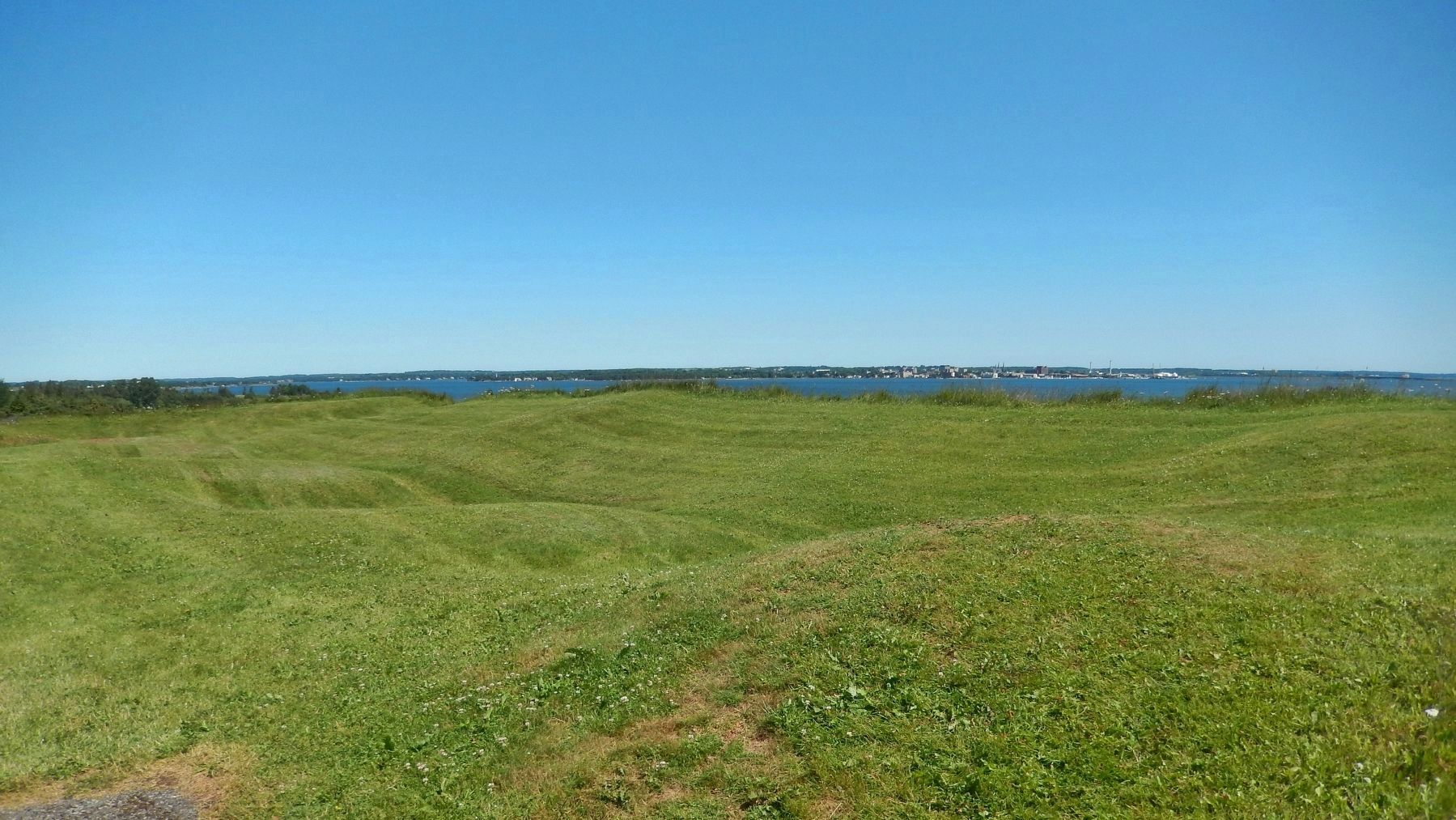
Photographed By Cosmos Mariner, July 18, 2019
7. Fort Amherst Site (north of marker / au nord du marqueur)
• • •
Monticules herbeux du site de Fort Amherst. Les dépressions proviennent des caves de huit bâtiments.
Credits. This page was last revised on June 26, 2020. It was originally submitted on June 23, 2020, by Cosmos Mariner of Cape Canaveral, Florida. This page has been viewed 96 times since then and 5 times this year. Photos: 1. submitted on June 25, 2020, by Cosmos Mariner of Cape Canaveral, Florida. 2, 3, 4, 5. submitted on June 26, 2020, by Cosmos Mariner of Cape Canaveral, Florida. 6. submitted on June 25, 2020, by Cosmos Mariner of Cape Canaveral, Florida. 7. submitted on June 26, 2020, by Cosmos Mariner of Cape Canaveral, Florida.
