
Keene in Cheshire County, New Hampshire — The American Northeast (New England)
Nathan Blake
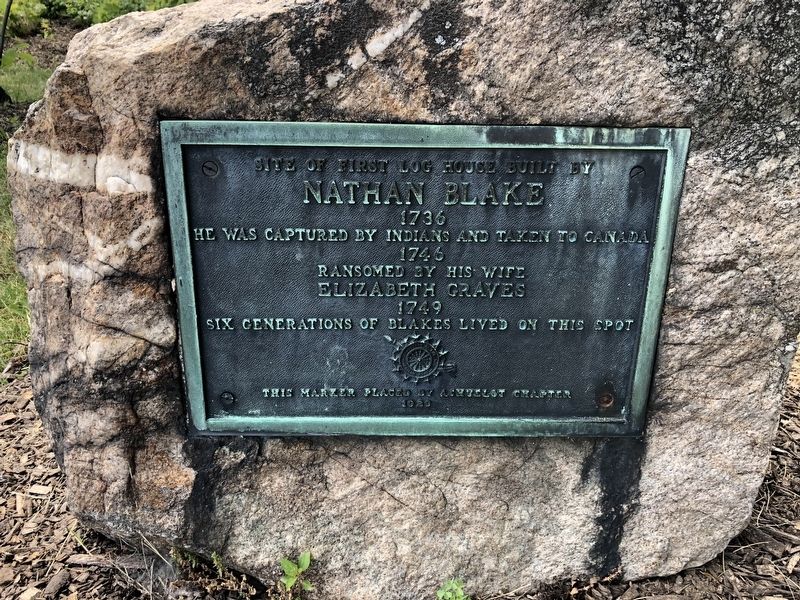
Nathan Blake
1736
He was captured by Indians and taken to Canada
1746
Ransomed by his wife
Elizabeth Graves
1749
Six generations of Blakes lived on this spot
Erected 1929 by Ashuelot Chapter, Daughters of the American Revolution.
Topics and series. This historical marker is listed in these topic lists: Colonial Era • Settlements & Settlers • Wars, US Indian. In addition, it is included in the Daughters of the American Revolution (DAR) series list. A significant historical year for this entry is 1736.
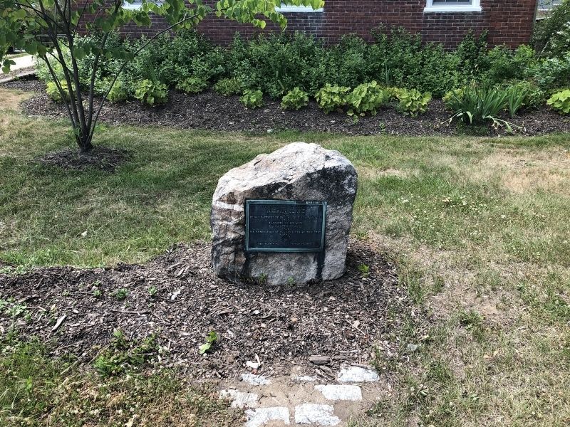
Location. 42° 55.72′ N, 72° 16.673′ W. Marker is in Keene, New Hampshire, in Cheshire County. It is at the intersection of Main Street and Winchester Street, on the right on Main Street. Touch for map. Marker is at or near this postal address: 441 Main St, Keene NH 03431, United States of America. Touch for directions.

Regionally, this marker is in the American Northeast and in New England. Globally, it is in North America, the Western Hemisphere, the Western World, and the Anglosphere. Historically, it finds itself in what was once one of the original
this page online
Other nearby markers. At least 8 other markers are within walking distance of this marker: The Old Fort (approx. 0.2 miles away); Dr. Daniel Adams House (approx. ¼ mile away); The Railroad (approx. ¼ mile away); Magical History Tour (approx. ¼ mile away); Industrial Heritage Trail (approx. ¼ mile away); Barry Faulkner, Muralist (approx. 0.3 miles away); Deacon Josiah Fisher (approx. 0.3 miles away); Keene Remembers (approx. 0.3 miles away). Touch for a list and map of all markers in Keene.
Credits. This page was last revised on June 18, 2026. It was originally submitted on June 25, 2020, by Devry Becker Jones of Washington, District of Columbia. This page has been viewed 1,168 times since then and 188 times this year. Photos: 1, 2. submitted on June 25, 2020, by Devry Becker Jones of Washington, District of Columbia.
