Guildhall in Essex County, Vermont — The American Northeast (New England)
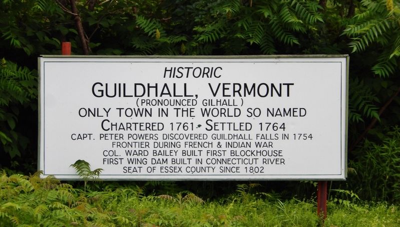
Historic Guildhall, Vermont
(Pronounced Gilhall)
Chartered 1761 • Settled 1764
Capt. Peter Powers discovered Guildhall Falls in 1754
Frontier during French & Indian War
Col. Ward Bailey built first blockhouse
First wing dam built on Connecticut River
Seat of Essex County since 1802
Topics. This historical marker is listed in these topic lists: Exploration • Settlements & Settlers • War, French and Indian • Waterways & Vessels. A significant historical year for this entry is 1761.
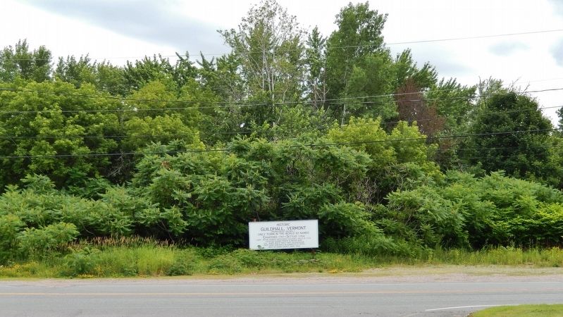
Location. 44° 33.869′ N, 71° 33.614′ W. Marker is in Guildhall, Vermont, in Essex County. Marker is at the intersection of Vermont Route 102 and Bridge Street, on the right when traveling east on State Route 102. Marker is located on the south side of Bridge Street, just west of the Connecticut River. Touch for map. Marker is in this post office area: Guildhall VT 05905, United States of America. Touch for directions.
Other nearby markers. At least 8 other markers are within 5 miles of this marker, measured as the crow flies. Honor Roll (within shouting distance of this marker); The Benton Cottage (about 300 feet away, measured in a direct line); Essex County Court House (about 400 feet away); Connecticut River to Umbagog Lake (approx. 3.2 miles away in New Hampshire); Gateway to the Great North Woods (approx. 3.2 miles away in New Hampshire); Lancaster N. H.: Stories of People and Places (approx. 4.7 miles away in New Hampshire); Wilder-Holton House (approx. 4.7 miles away in New Hampshire); Stone House (approx. 5 miles away in New Hampshire). Touch for a list and map of all markers in Guildhall.
Regarding Historic Guildhall, Vermont. Guildhall Village Historic District, National Register of Historic Places #80000331.
Also see . . .
1. Guildhall, Vermont (Wikipedia). Guildhall is in northeastern Vermont, along the Connecticut River, the border between Vermont and New Hampshire. The name derives from a meeting house on the square called the Guildhall. (Submitted on June 25, 2020, by Cosmos Mariner of Cape Canaveral, Florida.)
2. Guildhall Village Historic District. The area that is now Guildhall village was first settled in the 1780s, when a dam was built across the adjacent Connecticut River, and saw- and gristmills were erected. Eben Judd, proprietor of the mills in 1797, donated land for the common in that year to secure the town's role as the seat of the newly established Essex County. The historic district is centered on the square common at the center of Guildhall village, formed by a bend in Vermont Route 102, which runs west toward Lunenburg and north toward Maidstone. (Submitted on June 25, 2020, by Cosmos Mariner of Cape Canaveral, Florida.)
Credits. This page was last revised on June 25, 2020. It was originally submitted on June 25, 2020, by Cosmos Mariner of Cape Canaveral, Florida. This page has been viewed 217 times since then and 16 times this year. Photos: 1, 2. submitted on June 25, 2020, by Cosmos Mariner of Cape Canaveral, Florida.

