Fayetteville in Lincoln County, Tennessee — The American South (East South Central)
Trail of Tears Bell Removal Route
Inscription.
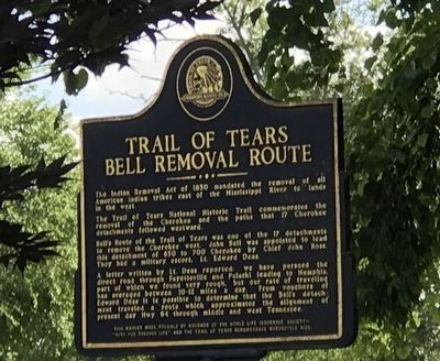
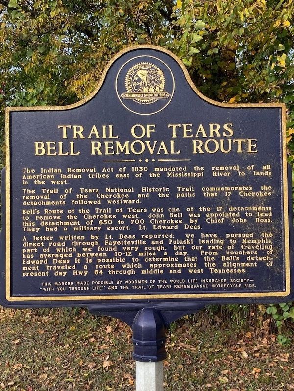
The Indian Removal Act of 1830 mandated the removal of all American Indian tribes cast of the Mississippi River to lands in the west.
The Trail of Tears National Historic Trail commemorates the removal of the Cherokee and the paths that 17 Cherokee detachments followed westward.
Bell's Route of the Trail of Tears was one of the 17 detachments to remove the Cherokee west. John Bell was appointed to lead this detachment of 690 to 700 Cherokee by Chief John Ross. They hod a military escort, Lt. Edward Deas.
A letter written by Lt. Deas reported: we have pursued the direct road through Fayetteville and Pulaski leading to Memphis, part of which we found very rough, but our rate of traveling has averaged between 10-12 miles a day. From vouchers of Edward Deas it is possible to determine that the Bell's detachment traveled a route which approximates the alignment of present day Hwy 64 through middle and west Tennessee.
Erected by The World Life Insurance Society and The Trail of Tears Remembrance Motorcycle Ride.
Topics. This historical marker is listed in these topic lists: Native Americans • Roads & Vehicles. A significant historical year for this entry is 1830.
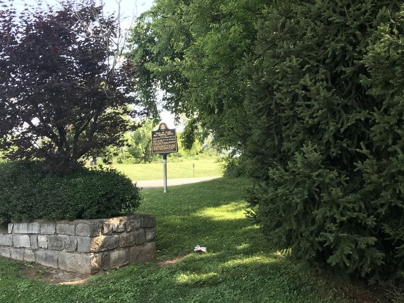
Location. 35° 8.637′ N, 86° 34.111′ W. Marker is in Fayetteville , Tennessee, in Lincoln County. Marker is on Thornton Taylor Parkway (Bypass U.S. 64) west of Eufala Street, on the right when traveling west. Marker is located at entrance to Stone Bridge Memorial Park. Touch for map. Marker is at or near this postal address: 2010 Thornton Taylor Pkwy, Fayetteville TN 37334, United States of America. Touch for directions.
Other nearby markers. At least 8 other markers are within walking distance of this marker. Fayetteville Stone Bridge (a few steps from this marker); Fayetteville Calaboose Door (within shouting distance of this marker); Fayetteville Stone Bridge (Scale Replica) (within shouting distance of this marker); Cascade (about 400 feet away, measured in a direct line); Stone Arch Bridge (about 500 feet away); William Hall (approx. 0.2 miles away); Camp Blount (approx. 0.2 miles away); David "Davy" Crockett (approx. 0.2 miles away). Touch for a list and map of all markers in Fayetteville.
Additional keywords. Forced removal
Credits. This page was last revised on January 28, 2023. It was originally submitted on June 29, 2020, by Duane and Tracy Marsteller of Murfreesboro, Tennessee. This page has been viewed 599 times since then and 49 times this year. Photos: 1. submitted on June 29, 2020, by Duane and Tracy Marsteller of Murfreesboro, Tennessee. 2. submitted on January 27, 2023, by Darren Jefferson Clay of Duluth, Georgia. 3. submitted on June 29, 2020, by Duane and Tracy Marsteller of Murfreesboro, Tennessee. • Devry Becker Jones was the editor who published this page.


