Lawrenceburg in Lawrence County, Tennessee — The American South (East South Central)
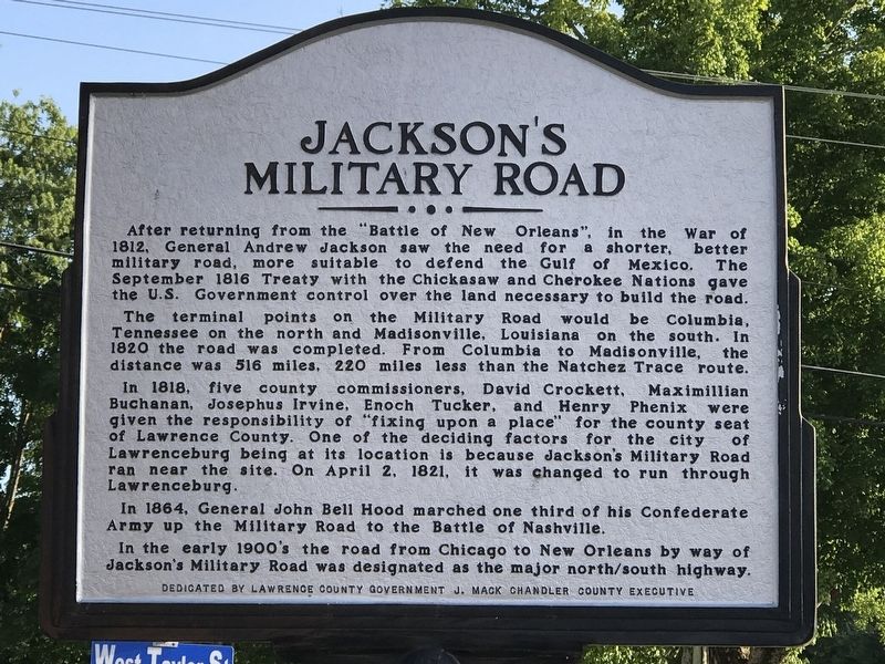
Jackson's Military Road
The terminal points on the Military Road would be Columbia, Tennessee on the north and Madisonville, Louisiana on the south. In 1820 the road was completed. From Columbia to Madisonville, the distance was 516 miles, 220 miles less than the Natchez Trace route.
In 1818, five county commissioners, David Crockett, Maximillian Buchanan, Josephus Irvine, Enoch Tucker, and Henry Phenix were given the responsibility of “fixing upon a place” for the county seat of Lawrence County. One of the deciding factors for the city of Lawrenceburg being at its location is because Jackson's Military Road ran near the site. On April 2, 1821, it was changed to run through Lawrenceburg.
in 1864, General John Bell Hood marched one third of his Confederate Army up the Military Road to the Battle of Nashville.
In the early 1900's the road from Chicago to New Orleans by way of Jackson's Military Road was designated as the major north/south highway.
Erected by Lawrence County Government.
Topics. This historical marker is listed in these topic lists: Roads & Vehicles • War of 1812 • War, US Civil. A significant historical year for this entry is 1818.
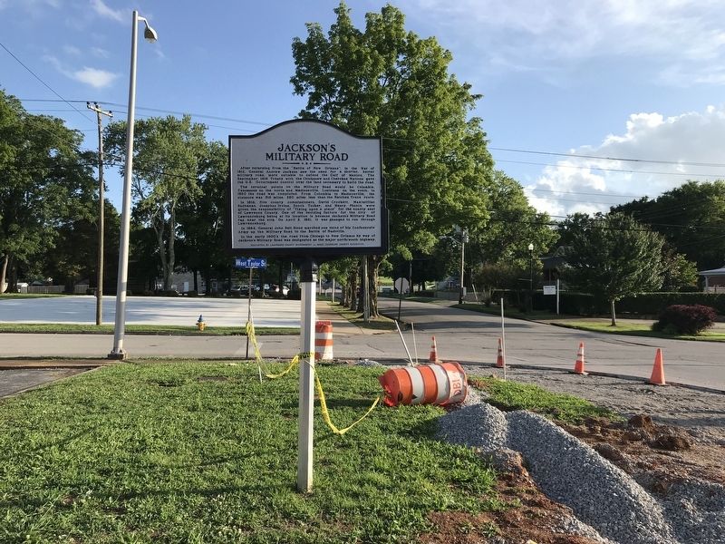
Location. 35° 14.385′ N, 87° 20.122′ W. Marker is in Lawrenceburg, Tennessee, in Lawrence County. Marker is at the intersection of South Military Avenue and East Taylor Street, on the right when traveling north on South Military Avenue. Marker is behind county utilities building. Touch for map. Marker is at or near this postal address: 25 Public Square, Lawrenceburg TN 38464, United States of America. Touch for directions.
Other nearby markers. At least 8 other markers are within walking distance of this marker. Garrett House (within shouting distance of this marker); James David Vaughan (within shouting distance of this marker); James D. Vaughan (within shouting distance of this marker); Col. David Crockett (about 300 feet away, measured in a direct line); David Crockett's Home (about 300 feet away); Lawrence County War Memorial (about 300 feet away); Trail of Tears Memorial (about 300 feet away); Skirmish at Lawrenceburg (about 400 feet away). Touch for a list and map of all markers in Lawrenceburg.
Credits. This page was last revised on June 30, 2020. It was originally submitted on June 29, 2020, by Duane and Tracy Marsteller of Murfreesboro, Tennessee. This page has been viewed 332 times since then and 31 times this year. Photos: 1, 2. submitted on June 29, 2020, by Duane and Tracy Marsteller of Murfreesboro, Tennessee. • Bernard Fisher was the editor who published this page.

