South Side Flats in Pittsburgh in Allegheny County, Pennsylvania — The American Northeast (Mid-Atlantic)
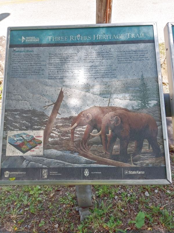
Prehistoric Rivers
Three Rivers Heritage Trail
When the Appalachian Mountains formed 250 million years ago they probably looked like the Andes in South America a long chain of rugged snow-covered peaks stretching from Nova Scotia to Alabama. Rivers coming off the mountains shed sediment across the foothills and plains at least as far as what are, today, the Rocky Mountains. The rivers continued to cut down and erode to the level we see today.
This ancient river system once emptied northward into Lake Erie but reversed its flow approximately 900,000 years ago as glaciers were formed to the north.
Pittsburgh exists on these Ice Age terraces of sand and gravel left by prehistoric rivers. The famous "fourth river" beneath Pittsburgh is really a high underground water table called and aquifer created during this Ice Age.
Today the Army Corps of Engineers controls the river level by a series of flood control dams from distant places such as the Kinzua Dam near Warren and the Youghiogheny Dam near Confluence.
Erected by Friends of the Riverfront/City of Pittsburgh/Rivers of Steel National Heritage Area.
Topics. This historical marker is listed in these topic lists: Environment • Paleontology • Waterways & Vessels.
Location. 40° 25.94′ N, 79° 58.534′ W. Marker is in Pittsburgh, Pennsylvania, in Allegheny County. It is in the South Side Flats. Marker can be reached from Three Rivers Heritage Trail. Marker is located in 18th Street Park on Pittsburgh's South Side. Touch for map. Marker is in this post office area: Pittsburgh PA 15203, United States of America. Touch for directions.
Other nearby markers. At least 8 other markers are within walking distance of this marker. Monongahela's First Lock & Dam (here, next to this marker); Ferry Landing (here, next to this marker); The Workers (within shouting distance of this marker); Immigrant Steel Workers (approx. 0.4 miles away); South Side Vietnam Veterans Memorial (approx. 0.4 miles away); Polish Army (approx. 0.4 miles away); Ormsby River Farms (approx. half a mile away); Black Diamonds (approx. half a mile away). Touch for a list and map of all markers in Pittsburgh.
Credits. This page was last revised on February 2, 2023. It was originally submitted on June 30, 2020, by Mike Wintermantel of Pittsburgh, Pennsylvania. This page has been viewed 203 times since then and 22 times this year. Photos: 1, 2. submitted on July 1, 2020, by Mike Wintermantel of Pittsburgh, Pennsylvania.

