Mechanicsville in Hanover County, Virginia — The American South (Mid-Atlantic)
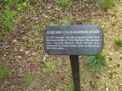
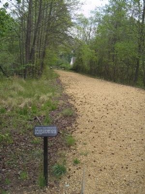
Historic Cold Harbor Road
Erected by Richmond National Battlefield Park – National Park Service.
Topics. This historical marker is listed in these topic lists: Notable Events • Notable Places • Roads & Vehicles • War, US Civil. A significant historical month for this entry is June 1912.
Location. 37° 35.712′ N, 77° 21.529′ W. Marker is in Mechanicsville, Virginia, in Hanover County. Marker can be reached from Cold Harbor Road (Virginia Route 156), on the right when traveling east. Marker is in the Beaver Dam Creek Unit of Richmond National Battlefield Park, on the east side of the creek. Touch for map. Marker is in this post office area: Mechanicsville VA 23111, United States of America. Touch for directions.
Other nearby markers. At least 8 other markers are within walking distance of this marker. Beaver Dam Creek (within shouting distance of this marker); Lee’s First Strike (within shouting distance of this marker); Holding the High Ground (within shouting distance of this marker); Site of Ellerson’s Mill (within shouting distance of this marker); a different marker also named Beaver Dam Creek (about 500 feet away, measured in a direct line); Ellerson's Mill (approx. 0.2 miles away); Seven Days Battles (approx. ¼ mile away); a different marker also named Seven Days Battles (approx. 0.7 miles away). Touch for a list and map of all markers in Mechanicsville.
Also see . . .
1. Beaver Dam Creek. CWSAC Battle Summaries website. (Submitted on January 11, 2009, by Bill Coughlin of Woodland Park, New Jersey.)
2. Touring Richmond’s Battlefields. National Park Service website. (Submitted on January 11, 2009, by Bill Coughlin of Woodland Park, New Jersey.)
3. The Seven Days Battle. HistoryCentral.com website. (Submitted on January 11, 2009, by Bill Coughlin of Woodland Park, New Jersey.)
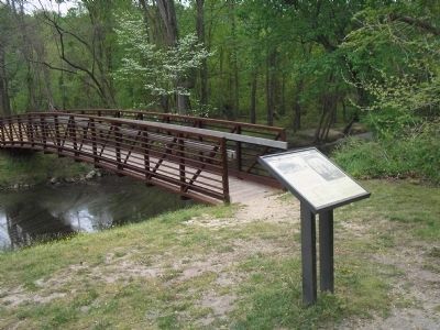
Photographed By Bill Coughlin, April 24, 2007
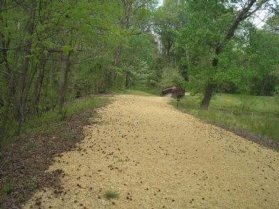
3. Beaver Dam Creek Bridge
This bridge, located just west of the marker, is in the actual location of the bridge that Union troops destroyed in June 1862. The photo was taken from the west side of the bridge. Confederates attacked from this direction on June 26, 1862.
Credits. This page was last revised on June 16, 2016. It was originally submitted on January 11, 2009, by Bill Coughlin of Woodland Park, New Jersey. This page has been viewed 1,567 times since then and 60 times this year. Last updated on January 11, 2009, by Bernard Fisher of Richmond, Virginia. Photos: 1, 2, 3, 4, 5. submitted on January 11, 2009, by Bill Coughlin of Woodland Park, New Jersey. • Craig Swain was the editor who published this page.
