New Castle Hundred in New Castle County, Delaware — The American Northeast (Mid-Atlantic)
The River Road
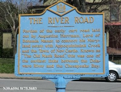
Photographed by Don Morfe, April 7, 2013
1. The River Road Marker
Erected 1949 by [Delaware] Public Archives Commission. (Marker Number NC-73.)
Topics and series. This historical marker is listed in these topic lists: Colonial Era • Patriots & Patriotism • Roads & Vehicles. In addition, it is included in the Delaware Public Archives series list.
Location. 39° 39.557′ N, 75° 34.103′ W. Marker is in New Castle, Delaware, in New Castle County. It is in New Castle Hundred. It is on South Street. Touch for map. Marker is in this post office area: New Castle DE 19720, United States of America. Touch for directions.

Regionally, this marker is in Greater Wilmington and in Greater Philadelphia. It is also in the American Mid-Atlantic, on the Delmarva Peninsula, and on the Eastern Seaboard. Globally, it is in the North Atlantic Region, North
this page online
Other nearby markers. At least 8 other markers are within walking distance of this marker: Booker T. Washington School No. 109C (about 300 feet away, measured in a direct line); New Castle United Methodist Church (approx. 0.2 miles away); Historic Museum (approx. 0.2 miles away); Van Dyke House (approx. 0.2 miles away); George Washington (approx. 0.2 miles away); The Green or Market Plaine (approx. ¼ mile away); New Castle Italian Immigrant Memorial (approx. ¼ mile away); The Italian Community of New Castle, Delaware (approx. ¼ mile away). Touch for a list and map of all markers in New Castle.
More about this marker. NC-73 did not appear on the marker.
Photographed by Don Morfe, April 7, 2013
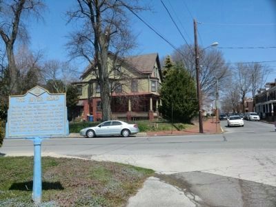
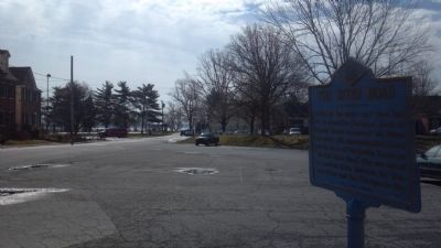
2. The River Road Marker
Photo showing the front of the marker and the surroundings
Photographed by Don Morfe, April 7, 2013
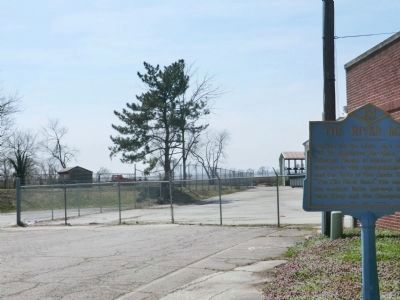
3. The River Road Marker
Photo showing the back of the marker.
Photographed by Adam Margolis, September 1, 2019
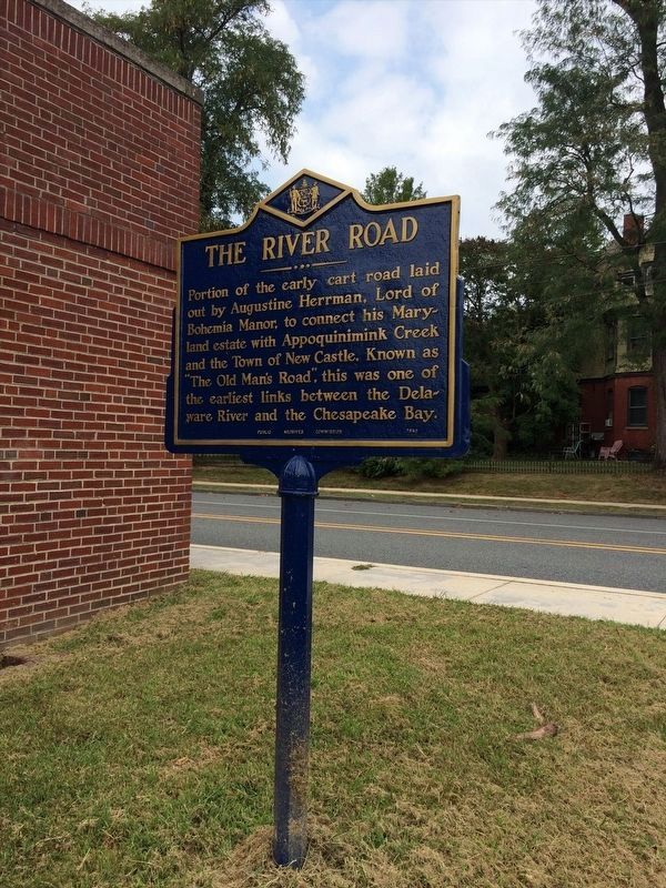
4. The River Road Marker
The marker has since been replaced or repaired.
Photographed by Keith S Smith, April 5, 2013
5. The River Road Marker
The Delaware River can be seen at the horizon of the photo
Credits. This page was last revised on May 28, 2026. It was originally submitted on April 20, 2013, by Don Morfe of Baltimore, Maryland. This page has been viewed 947 times since then and 37 times this year. Last updated on July 11, 2020, by Carl Gordon Moore Jr. of North East, Maryland. Photos: 1, 2, 3. submitted on April 20, 2013, by Don Morfe of Baltimore, Maryland. 4. submitted on February 2, 2022, by Adam Margolis of Mission Viejo, California. 5. submitted on June 29, 2013, by Keith S Smith of West Chester, Pennsylvania. • Bill Pfingsten was the editor who published this page.
