Eglon in Preston County, West Virginia — The American South (Appalachia)
Flag Raising
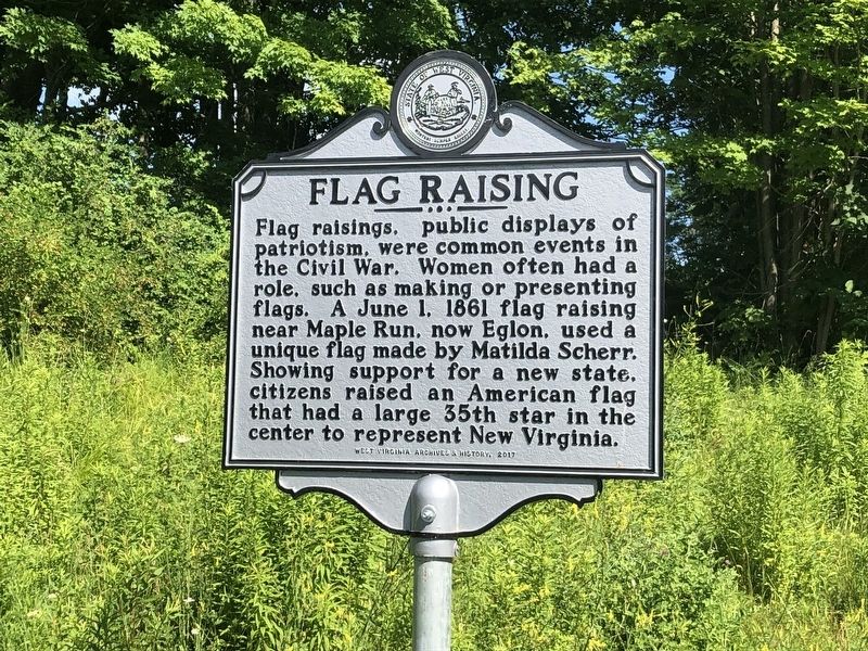
Erected 2017 by West Virginia Archives & History.
Topics and series. This historical marker is listed in these topic lists: Patriots & Patriotism • Political Subdivisions • War, US Civil • Women. In addition, it is included in the Vexillology, and the West Virginia Archives and History series lists. A significant historical date for this entry is June 1, 1861.
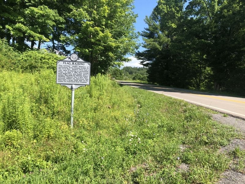
Location. 39° 18.091′ N, 79° 31.227′ W. Marker is in Eglon, West Virginia, in Preston County. It is at the intersection of Maple Spring Highway (Route 24) and Grange Hall Road (County Route 116), on the left when traveling north on Maple Spring Highway. Touch for map. Marker is in this post office area: Eglon WV 26716, United States of America. Touch for directions.

Regionally, this marker
this page online
Other nearby markers. At least 8 other markers are within 5 miles of this marker, measured as the crow flies: Old Stone Tavern (approx. 1.8 miles away); Preston County / Maryland (approx. 2.2 miles away); Gantz Sand (approx. 2½ miles away); a different marker also named Preston County / Maryland (approx. 2½ miles away); Veterans Memorial (approx. 2½ miles away); a different marker also named Aurora (approx. 2½ miles away); St. John's Evangelical Lutheran Church of Red House, Maryland (approx. 3.7 miles away in Maryland); Hoye - Crest (approx. 4.8 miles away in Maryland).
Another marker is no longer nearby. Aurora (was approx. 2½ miles away but has been replaced with another marker now near it).
Credits. This page was last revised on November 27, 2021. It was originally submitted on July 13, 2020, by Devry Becker Jones of Washington, District of Columbia. This page has been viewed 435 times since then and 30 times this year. Photos: 1, 2. submitted on July 13, 2020, by Devry Becker Jones of Washington, District of Columbia.
