Old Fields in Hardy County, West Virginia — The American South (Appalachia)
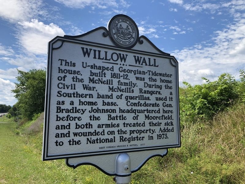
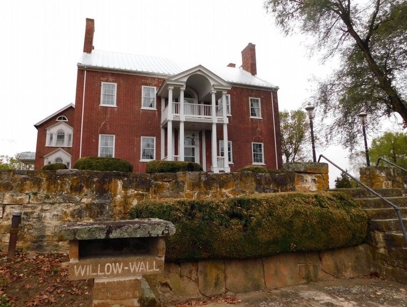
Willow Wall
Erected 2017 by West Virginia Archives & History.
Topics and series. This historical marker is listed in these topic lists: Architecture • Science & Medicine • War, US Civil. In addition, it is included in the West Virginia Archives and History series list. A significant historical year for this entry is 1973.
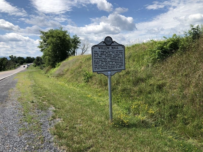
Location. 39° 8.084′ N, 78° 57.072′ W. Marker is in Old Fields, West Virginia, in Hardy County. Marker is on U.S. 220, 0.1 miles south of Old Fields Road (County Road 2), on the right when traveling south. Touch for map. Marker is at or near this postal address: 5196 Route 220, Old Fields WV 26845, United States of America. Touch for directions.
Other nearby markers. At least 8 other markers are within 5 miles of this marker, measured as the crow flies. Fort Pleasant (about 600 feet away, measured in a direct line); Battle of Moorefield (approx. ¼ mile away); a different marker also named Battle of Moorefield (approx. 3.4 miles away); a different marker also named Battle of Moorefield (approx. 3.7 miles away); Gen. Joseph Neville / McNeill's Raid (approx. 4.7 miles away); Veterans Memorial (approx. 4.9 miles away); Confederate Memorial (approx. 4.9 miles away); Olivet Cemetery (approx. 4.9 miles away). Touch for a list and map of all markers in Old Fields.
Credits. This page was last revised on January 28, 2021. It was originally submitted on July 14, 2020, by Devry Becker Jones of Washington, District of Columbia. This page has been viewed 314 times since then and 29 times this year. Photos: 1, 2. submitted on July 14, 2020, by Devry Becker Jones of Washington, District of Columbia. 3. submitted on January 27, 2021, by Bradley Owen of Morgantown, West Virginia.


