Milton in Santa Rosa County, Florida — The American South (South Atlantic)
Elliott’s Flume
Arcadia Mill Archaeological Site
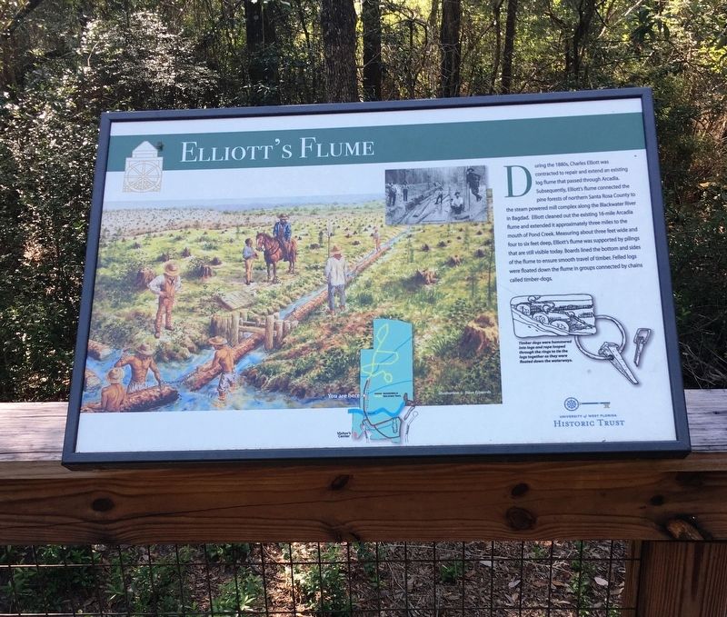
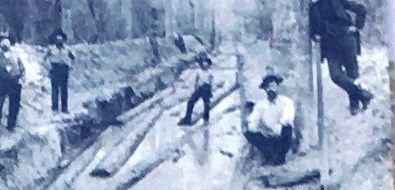
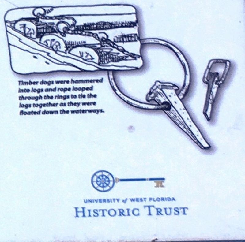
During the 1880’s, Charles Elliott was contracted to repair and extend an existing log flume that passed through Arcadia. Subsequently, Elliot’s flume connected the pine forest of northern Santa Rosa County to the steam powered mill complex along the Blackwater River in Baghdad. Elliot cleaned out the existing 16-mile Arcadia flume and extended it approximately three miles to the mouth of Pond Creek. Measuring about three feet wide and four to six feet deep, Elliott’s flume was supported by pilings that are still visible today. Boards lined the bottom and sides of the flume to ensure smooth travel of timber. Felled logs were floated down the flume in groups connected by chains called timber-dogs.
Erected by University of West Florida Historic Trust.
Topics. This historical marker is listed in these topic lists: Anthropology & Archaeology • Horticulture & Forestry • Industry & Commerce • Waterways & Vessels.
Location. 30° 36.886′ N, 87° 5.015′ W. Marker is in Milton, Florida, in Santa Rosa County. Marker can be reached from Mill Pond Lane, 0.1 miles Juan De Laurua Court. Marker located within the Arcadia Mill Archaeological Site. Touch for map. Marker is at or near this postal address: 5709 Mill Pond Lane, Milton FL 32583, United States of America. Touch for directions.
Other nearby markers. At least 8 other markers are within walking distance of this marker. Arcadia Dam (within shouting distance of this marker); Arcadia Dam and Water Works (about 400 feet away, measured in a direct line); Arcadia Community (about 500 feet away); Arcadia Mill (about 600 feet away); Existing Foundations: Sawmill and Textile Mill (about 600 feet away); The Millrace (about 600 feet away); Plunge Pool (about 700 feet away); Arcadia’s Cotton Textile Mill (about 800 feet away). Touch for a list and map of all markers in Milton.
Also see . . . Explore Arcadia Mill. Historic Pensacola (Submitted on July 15, 2020.)
Credits. This page was last revised on July 15, 2020. It was originally submitted on July 14, 2020, by Brandon D Cross of Flagler Beach, Florida. This page has been viewed 133 times since then and 13 times this year. Photos: 1, 2, 3, 4. submitted on July 14, 2020, by Brandon D Cross of Flagler Beach, Florida. • Bernard Fisher was the editor who published this page.


