Harrodsburg in Mercer County, Kentucky — The American South (East South Central)
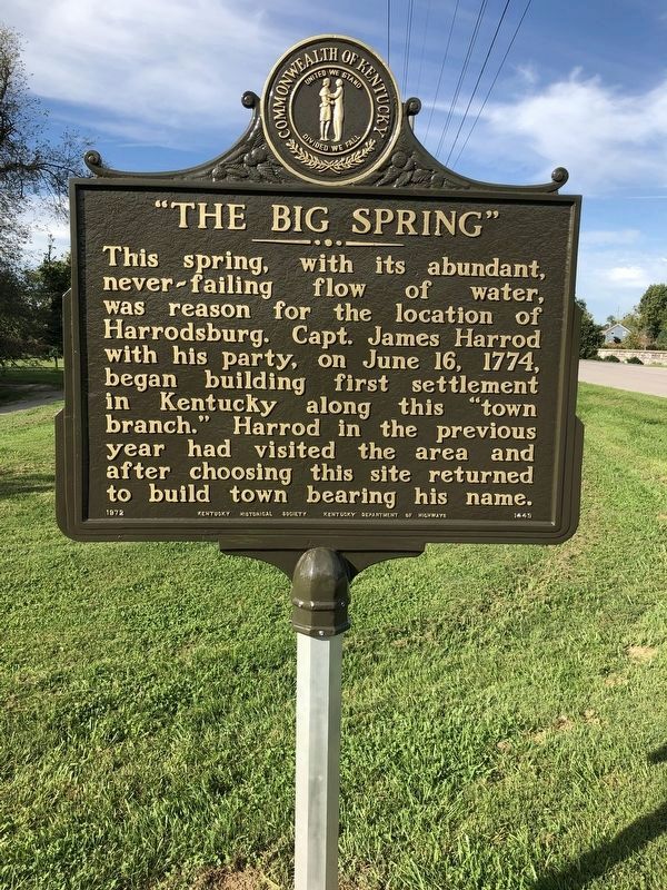
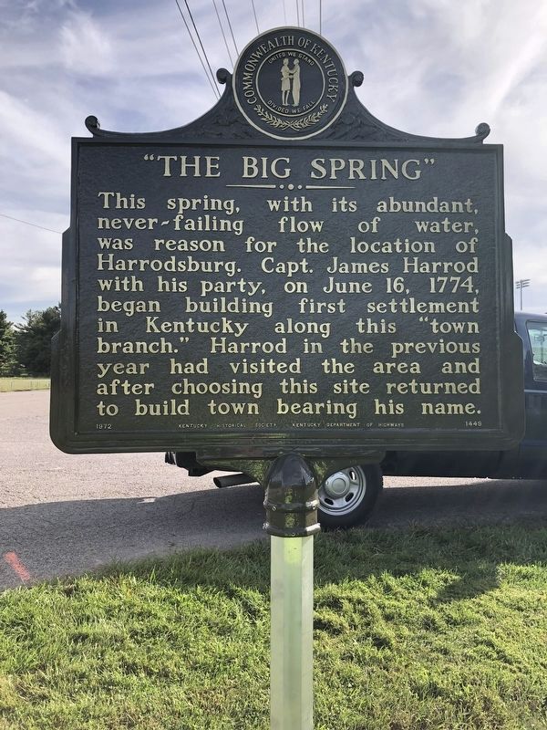
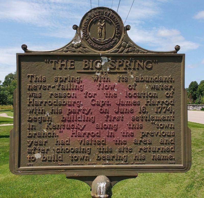
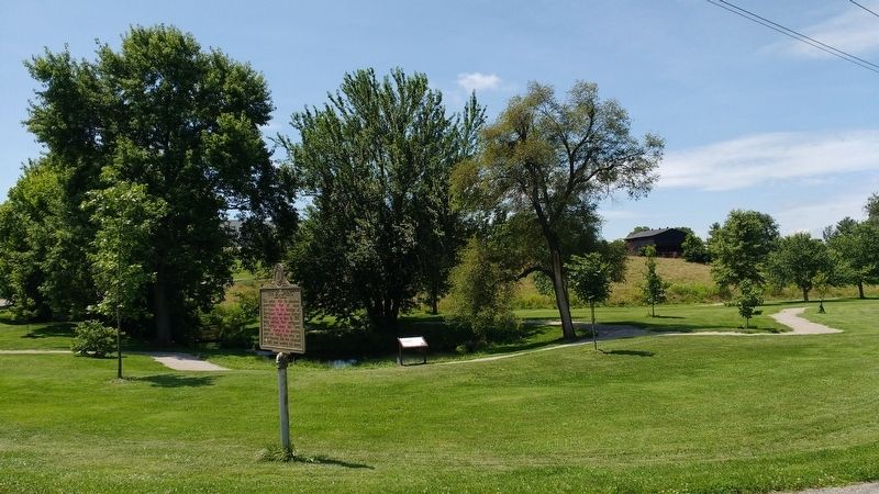
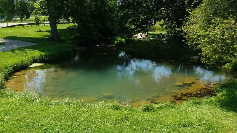
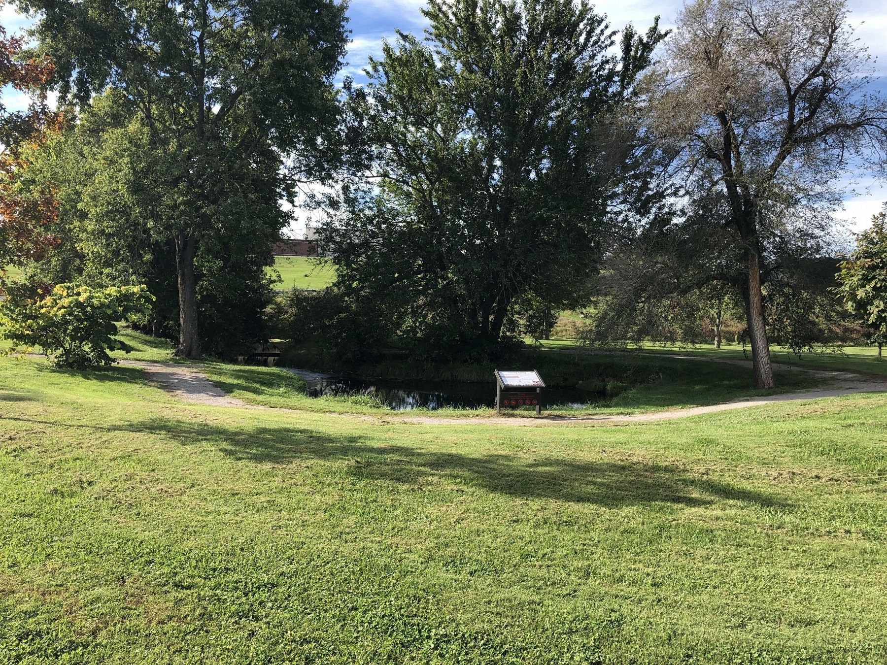
"The Big Spring"
Erected 1972 by Kentucky Historical Society, Kentucky Department of Highways. (Marker Number 1449.)
Topics and series. This historical marker is listed in these topic lists: Colonial Era • Settlements & Settlers • Waterways & Vessels. In addition, it is included in the Kentucky Historical Society series list. A significant historical date for this entry is June 16, 1774.
Location. 37° 45.908′ N, 84° 50.27′ W. Marker is in Harrodsburg, Kentucky, in Mercer County. Marker is at the intersection of East Factory Street and Pioneer Way, on the right when traveling east on East Factory Street. Touch for map. Marker is at or near this postal address: 426 E Factory St, Harrodsburg KY 40330, United States of America. Touch for directions.
Other nearby markers. At least 8 other markers are within walking distance of this marker. The Big Spring (a few steps from this marker); Charles Ficklin / Alexander Buchanan House (approx. 0.2 miles away); Hogue / Williams House (approx. 0.2 miles away); The Baptist Tabernacle of The Wilderness (approx. 0.2 miles away); Wilderness Revival (approx. 0.2 miles away); Muscoe Garnett House (approx. 0.2 miles away); Woodsland (approx. 0.2 miles away); Lucy Newton Cogar House (approx. ¼ mile away). Touch for a list and map of all markers in Harrodsburg.
Also see . . . James Harrod. (Submitted on July 18, 2020, by Tom Bosse of Jefferson City, Tennessee.)
Credits. This page was last revised on October 4, 2021. It was originally submitted on July 18, 2020, by Tom Bosse of Jefferson City, Tennessee. This page has been viewed 745 times since then and 159 times this year. Photos: 1, 2. submitted on October 4, 2021, by Brian K. Hall of Lexington, Kentucky. 3, 4, 5. submitted on July 18, 2020, by Tom Bosse of Jefferson City, Tennessee. 6. submitted on October 4, 2021, by Brian K. Hall of Lexington, Kentucky. 7. submitted on July 18, 2020, by Tom Bosse of Jefferson City, Tennessee. • Devry Becker Jones was the editor who published this page.
