Friendsville in Garrett County, Maryland — The American Northeast (Mid-Atlantic)
Water Street North, Captain Elijah Monroe Friend

Photographed By Devry Becker Jones (CC0), July 17, 2020
1. Water Street North, Captain Elijah Monroe Friend Marker
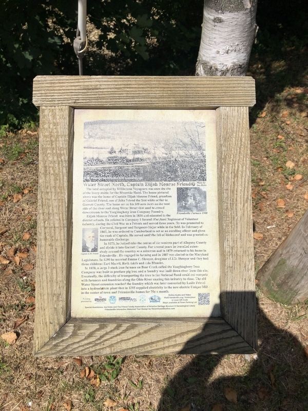
The land occupied by Wilderness Voyageurs was once the site of the livery stable for the Riverside Hotel. The house pictured above was the home of Captain Elijah Monroe Friend, grandson of Gabriel Friend, son of John Friend the first white settler in Garrett County. The home sat on his 300 acre farm on the west side of the river and along Water Street that used to extend downstream to the Youghiogheny Iron Company Foundry.
Elijah Monroe Friend was born in 1836 and educated in the district schools. He enlisted in Company 1 Second Maryland Regiment of Volunteer Infantry, during the Civil War as a Private and served three years. He was promoted to Corporal, Sargeant and Sargeant-Major while in the field. In February of 1865, he was ordered to Cumberland to act as an enrolling officer and given the rank of Captain. He served until the fall of Richmond and was granted an honorable discharge.
In 1873, he helped take the census of the western part of Allegany County and divide it into Garrett County. For several years he travelled extensively around the country as a salesman and in 1879 returned to his home in Friendsville. He engaged in farming and in 1887 was elected to the Maryland Legislature. In 1890 he married Emma C. Shroyer, daughter of J.D. Shroyer and they had three children: Earl Morril, Ruth Adele and Ada Blanche.
In 1828, a large 3 stack iron furnace on Bear Creek called the Youghiogheny Iron Company was built to produce pig iron and a foundry was built down river from this site. Eventually, the difficulty of transporting the iron to the National Road could not compete with furnaces and foundries along the Ohio River causing the industry to close. The old Water Street extension reached the foundry which was later converted by Leslie Friend into a hydroelectric plant that in 1895 supplied electricity to the new electric Unique Mill in the center of town and Friendsville homes for 75˘ a month.
Erected by Maryland Heritage Area Authority. (Marker Number 5.)
Topics and series. This historical marker is listed in these topic lists: Charity & Public Work • Industry & Commerce • War, US Civil • Waterways & Vessels. In addition, it is included in the Appalachian Iron Furnaces, the Maryland, Friendsville History Tour, and the The Historic National Road series lists. A significant historical month for this entry is February 1865.
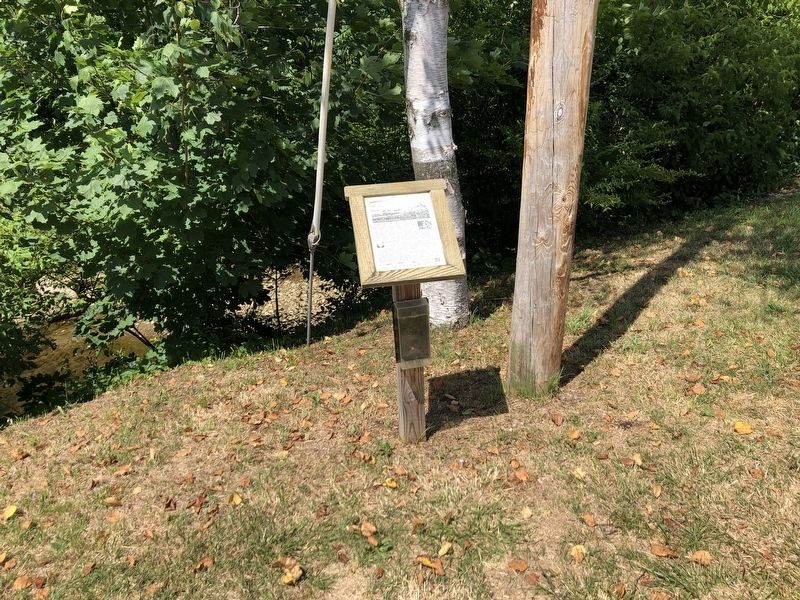
Location. 39° 39.86′ N, 79° 24.47′ W. Marker is in Friendsville, Maryland, in Garrett County. Marker is at the intersection of Maple Street and Water Street, on the right when traveling west on Maple Street. Touch for map.

Photographed By Devry Becker Jones (CC0), July 17, 2020
2. Water Street North, Captain Elijah Monroe Friend Marker
Other nearby markers. At least 8 other markers are within walking distance of this marker. Friendsville Commerce, Custer's and Ryland's Stores (within shouting distance of this marker); The Legend of Johnny Friend (about 300 feet away, measured in a direct line); Riverside Hotel & Knights of Pythias (about 300 feet away); Morris Avenue and Maple Street (about 400 feet away); Friendsville Honor Roll (about 600 feet away); First National Bank, Leslie Friend Store & Military Honors (about 600 feet away); The Unique Milling Company (about 600 feet away); Yough Motors, Confectionary and Bandstand (about 700 feet away). Touch for a list and map of all markers in Friendsville.
Credits. This page was last revised on December 5, 2023. It was originally submitted on July 19, 2020, by Devry Becker Jones of Washington, District of Columbia. This page has been viewed 172 times since then and 14 times this year. Photos: 1, 2. submitted on July 19, 2020, by Devry Becker Jones of Washington, District of Columbia.