Near Lake George in Park County, Colorado — The American Mountains (Southwest)
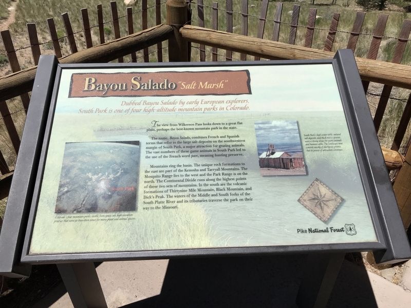
Bayou Salado "Salt Marsh"
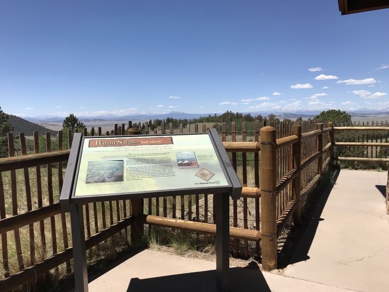
The view from Wilkerson Pass looks down to a great flat plain, perhaps the best-known mountain park in the state.
The name, Bayou Salado, combines French and Spanish terms that refer to the large salt deposits on the southwestern margin of South Park, a major attraction for grazing animals. The vast numbers of these game animals in South Park led to the use of the French word parc, meaning hunting preserve.
Mountains ring the basin. The unique rock formations to the east are part of the Kenosha and Tarryall Mountains. The Mosquito Range lies to the west and the Park Range is on the north. The Continental Divide runs along the highest points of these two sets of mountains. In the south are the volcanic formations of Thirtynine Mile Mountain, Black Mountain, and Dick's Peak. The waters of the Middle and South forks of the South Platte River and its tributaries traverse the park on their way to the Missouri.
Captions
Left: Colorado's four mountain parks, visible from space, are high-elevation prairies that serve as transition zones for many plant and animal species.
Right: South Park's high water table, natural salt deposits, and thick native grasses were a strong draw for game animals and humans alike. The landscape now consists mostly of shortgrass prairie, but its power of attraction continues.
Erected by U.S. Forest Service.
Topics. This historical marker is listed in these topic lists: Animals • Environment • Exploration • Parks & Recreational Areas.
Location. 39° 2.265′ N, 105° 31.547′ W. Marker is near Lake George, Colorado, in Park County. Marker can be reached from U.S. 24. Marker is located at the Wilkerson Pass Visitor Center. Touch for map. Marker is in this post office area: Lake George CO 80827, United States of America. Touch for directions.
Other nearby markers. At least 8 other markers are within walking distance of this marker. Footpaths to Highways (here, next to this marker); Fire Nature's Own Cleanser (here, next to this marker); Digging In (here, next to this marker); Turning Gold Fields into Fields of Green (a few steps from this marker); Enough Water for Everyone? (a few steps from this marker); Human Lives & Landscapes Inextricably Intertwined (a few steps from this marker); Pikes Peak and National Forests (about 300 feet away, measured in a direct line); The Blue Sky People (about 300 feet away). Touch for a list and map of all markers in Lake George.
Credits. This page was last revised on July 21, 2020. It was originally submitted on July 20, 2020, by Duane and Tracy Marsteller of Murfreesboro, Tennessee. This page has been viewed 300 times since then and 20 times this year. Photos: 1, 2. submitted on July 20, 2020, by Duane and Tracy Marsteller of Murfreesboro, Tennessee. • Andrew Ruppenstein was the editor who published this page.

