Near Lake George in Park County, Colorado — The American Mountains (Southwest)
Pikes Peak and National Forests
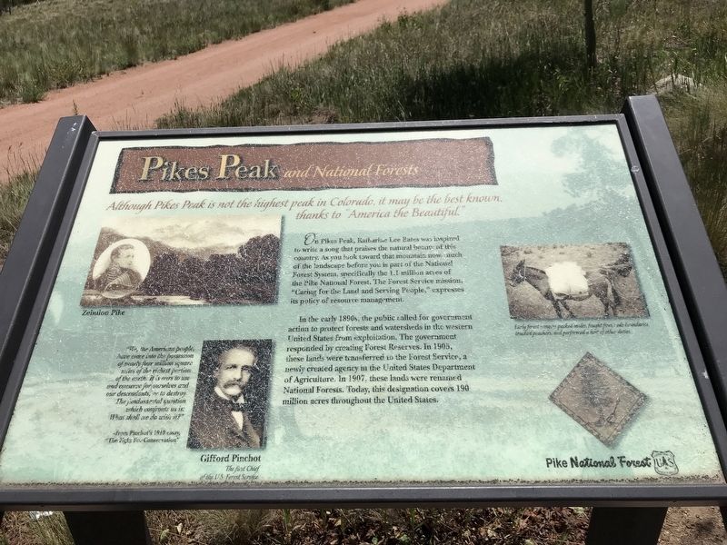
On Pikes Peak, Katharine Lee Bates was inspired to write a song that praises the natural beauty of this country. As you look toward that mountain now, much of the landscape before you is part of the National Forest System, specifically the 1.1 million acres of the Pike National Forest. The Forest Service mission, "Caring for the Land and Serving People,” expresses its policy of resource management.
In the early 1890s, the public called for government action to protect forests and watersheds in the western United States from exploitation. The government responded by creating Forest Reserves. In 1905, these lands were transferred to the Forest Service, a newly created agency in the United States Department of Agriculture. In 1907, these lands were renamed National Forests. Today, this designation covers 190 million acres throughout the United States.
"We, the American people, have come into the possession of nearly four million square miles of the richest portion of the earth; it is ours to use and conserve for ourselves and our descendants, or to destroy. The fundamental question which confronts us is: What shall we do with it?"
— from Pinchot's 1910 essay, "The Fight for Conservation"
Captions
Top left: Zebulon Pike
Bottom left: Gifford Pinchot, the first Chief of the U.S. Forest Service
Right: Early forest rangers packed mules, fought fires, rode boundaries, tracked poachers, and performed a host of other duties.
Erected by U.S. Forest Service.
Topics. This historical marker is listed in these topic lists: Environment • Exploration • Parks & Recreational Areas. A significant historical year for this entry is 1905.
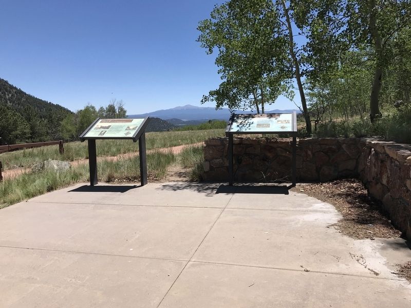
Location. 39° 2.235′ N, 105° 31.489′ W. Marker is near Lake George, Colorado, in Park County. Marker can be reached from U.S. 24. Marker is in the parking area of the Wilkerson Pass Visitor Center. Touch for map. Marker is in this post office area: Lake George CO 80827, United States of America. Touch for directions.
Other nearby markers. At least 8 other markers are within walking distance of this marker. The Blue Sky People (here, next to this marker); Human Lives & Landscapes Inextricably Intertwined (about 300 feet away, measured in a direct line); Digging In (about 300 feet away); Bayou Salado "Salt Marsh" (about 300 feet away); Enough Water for Everyone? (about 300 feet away); Footpaths to Highways (about 300 feet away); Fire Nature's Own Cleanser (about 300 feet away); Turning Gold Fields into Fields of Green (about 300 feet away). Touch for a list and map of all markers in Lake George.
Credits. This page was last revised on July 21, 2020. It was originally submitted on July 20, 2020, by Duane and Tracy Marsteller of Murfreesboro, Tennessee. This page has been viewed 160 times since then and 9 times this year. Photos: 1, 2. submitted on July 20, 2020, by Duane and Tracy Marsteller of Murfreesboro, Tennessee. • Andrew Ruppenstein was the editor who published this page.

