
Amarillo in Potter County, Texas — The American South (West South Central)
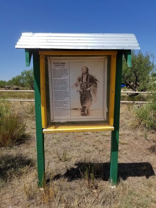
Quanah Parker Comanche Chief
Photographed by Allen Lowrey, July 21, 2020
1. Quanah Parker Comanche Chief Marker
Quanah Parker
Comanche Chief
(b. 1845 ca. d. 1911)
Quanah was born to Cynthia Ann Parker, a white woman captured in 1836 by Indians on the Texas frontier, and her husband, Peta Nocona, a war chief of the Nokoni Comanche band.
His mother was recaptured by the Texas Rangers in 1860, and his father died of an old wound a few years later, leaving him an orphan. Nevertheless, Quanah rose to lead as a war chief of the Kwahada Comanche band.
They hunted bison, raised horses, traded for corn bread and other goods carted in by New Mexican Comancheros, rode the Comanche War Trail to raid in Mexico, and camped in this area.
Quanah led his people in the 1874-75 Red River War to resist U.S. military efforts to remove Indians to reservations in Oklahoma.
After accepting Col. R. S. Mackenzie's surrender orders in 1875, as principal chief of the Comanches on the reservation, Quanah led his people again, but this time, to follow a new way of life.
Topics. This historical marker is listed in these topic lists: Indigenous Peoples and Communities • Wars, US Indian. A significant historical year for this entry is 1845.
Location. 35° 14.089′ N,
this page online

Regionally, this marker is on the Texas Panhandle. It is also on the American Great Plains, specifically on the Southern Plains, and specifically on the High Plains. Globally, it is in North America, a Gulf of Mexico state, the Western Hemisphere, the Western World, and the Anglosphere. Historically, it finds itself in what was once New Spain, the Comanchería, the Dust Bowl, the Republic of Texas, and one of the Confederate States of America.
Other nearby markers. At least 8 other markers are within 4 miles of this marker, measured as the crow flies: Quanah Parker Trail (a few steps from this marker); Helium Capital of the World (approx. 2.8 miles away); 1983 Relocation of the Helium Monument (approx. 2.8 miles away); Jack B. Kelley (approx. 2.8 miles away); Helium Time Columns (approx. 2.8 miles away); William Henry Bush (approx. 3.1
Photographed by Allen Lowrey, July 21, 2020
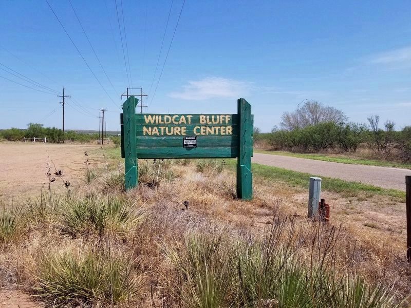
2. Marker is on Wildcat Bluff Nature Center
Photographed by Allen Lowrey, June 14, 2020
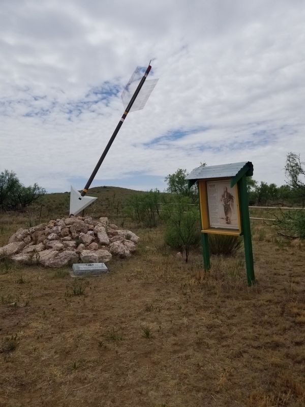
3. Quanah Parker Comanche Chief Marker and Quanah Parker Trail Arrow #66 and Marker
Credits. This page was last revised on July 21, 2020. It was originally submitted on July 21, 2020, by Allen Lowrey of Amarillo, Texas. This page has been viewed 890 times since then and 64 times this year. Photos: 1, 2, 3. submitted on July 21, 2020, by Allen Lowrey of Amarillo, Texas. • J. Makali Bruton was the editor who published this page.
