Old Mill Market Hikers' Trail Map
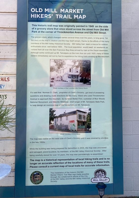
The grocery store, which changed names several times over the years, is long gone. Yet the story of the map's creation and the map itself remain, thanks to the efforts of the many members of the Mill Valley Historical Society. Mill Valley had been a mecca for outdoor enthusiasts since well before 1900. The local population would swell on weekends as visitors from all over the San Francisco Bay Area arrived by train at the Depot downtown. Although some continued up Mt. Tamalpais on the train that ran until 1929, many of these visitors immediately set out by foot to experience the hiking trails winding up the mountain.
It's said that Norman D. Clark, proprietor of Clark's Grocery, got tired of answering questions and drawing crude directions for the many hikers who used Throckmorton Avenue to approach the mountain. So he hired Walter Finn, custodian of Muir Woods National Monument, and Melville Whittaker, chief ranger of Mt. Tamalpais State Park, to help design an oversize map of the hiking trails on Mt. Tamalpais.
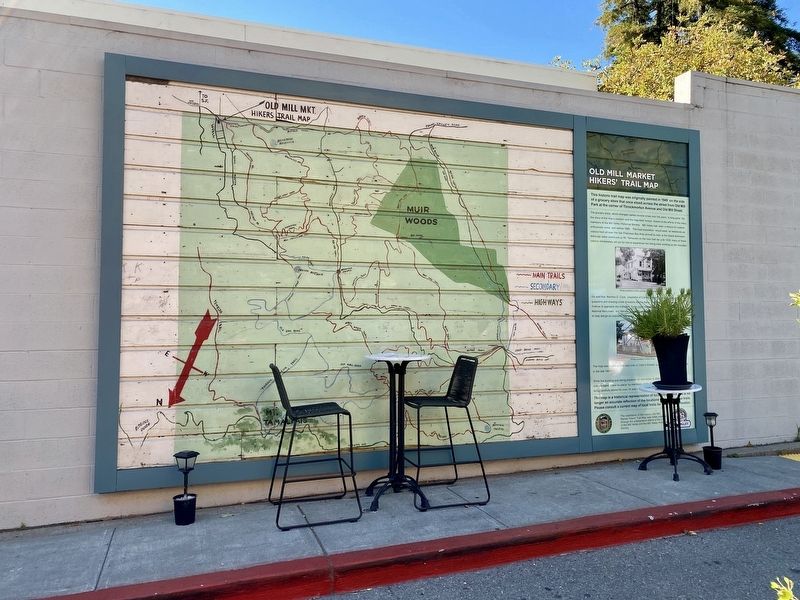
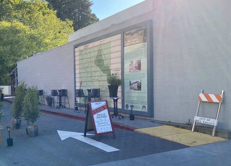
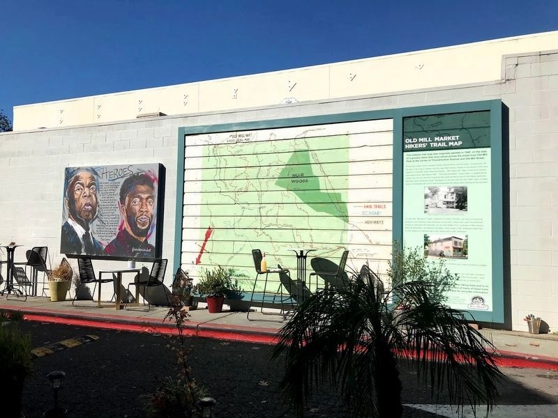
The map was visible on the west side of Clark's Grocery until it was covered by shingles in
the late 1950s.
While the building was being prepared for demolition in 2004, the map was uncovered
and salvaged, piece-by-piece, by members of the Mill Valley Historical Society. After
being carefully stored for over 14 years, the map was painstakingly re-assembled.
The map is a historical representation of local hiking trails and is no
longer an accurate reflection of the locations of many of these trails.
Please consult a current map of local trails for accurate information.
Erected 2019 by Mill Valley Historical Society, City of Mill Valley.
Topics. This historical marker is listed in these topic lists: Parks & Recreational Areas • Roads & Vehicles. A significant historical year for this entry is 1949.
Location. 37° 54.322′ N, 122° 32.872′ W. Marker is in Mill Valley, California, in Marin County. Marker is at the intersection of Miller Avenue and Sunnyside Avenue, on the right when traveling south on Miller Avenue. Touch for map. Marker is at or near this postal address: 34 Miller Avenue, Mill Valley CA 94941, United States of America. Touch for directions.
Other nearby markers. At least 8 other markers are within 2 miles of this marker, measured as the crow flies. Mill Valley Railroad Depot (about 300 feet away, measured in a direct line); Outdoor Art Club (about 600 feet away); Grist Mill Stones (about 700 feet away); Reed's Mill (approx. 0.3 miles
More about this marker. The marker is attached to the side of the building at 34 Miller Avenue.
Credits. This page was last revised on November 20, 2020. It was originally submitted on July 23, 2020, by Andrew Ruppenstein of Lamorinda, California. This page has been viewed 156 times since then and 10 times this year. Photos: 1. submitted on July 23, 2020, by Andrew Ruppenstein of Lamorinda, California. 2. submitted on November 18, 2020, by Diane Phillips of Pittsburg, California. 3, 4. submitted on July 23, 2020, by Andrew Ruppenstein of Lamorinda, California. 5. submitted on November 18, 2020, by Diane Phillips of Pittsburg, California.


