Near Cortez in Montezuma County, Colorado — The American Mountains (Southwest)
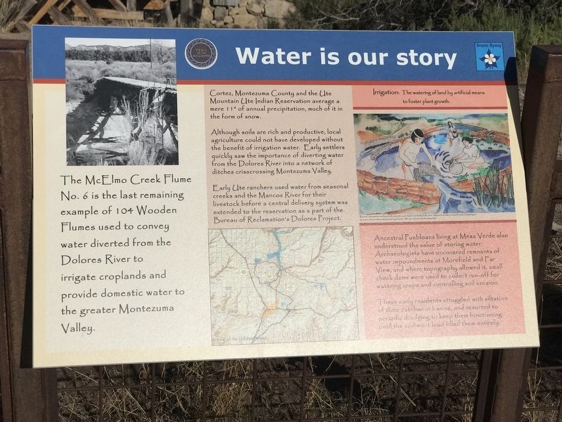
Water is Our Story
Cortez, Montezuma County and the Ute Mountain Ute Indian Reservation average a mere 11” of annual precipitation, much of it in the form of snow.
Although soils are rich and productive, local agriculture could not have developed without the benefit of irrigation water. Early settlers quickly saw the importance of diverting water from the Dolores River into a network of ditches crisscrossing Montezuma Valley.
Early Ute ranchers used water from seasonal creeks and the Mancos River for their livestock before a central delivery system was extended to the reservation as a part of the Bureau of Reclamation's Dolores Project.
Irrigation: The watering of land by artificial means to foster plant growth.
Ancestral Puebloans living at Mesa Verde also understood the value of storing water. Archaeologists have uncovered remnants of water impoundments at Morefield and Far View, and where topography allowed it, small check dams were used to collect run-off for watering crops and controlling soil erosion.
These early residents struggled with siltation of their catchmeat basins, and resorted to periodic dredging to keep them functioning until the sediment load filled them entirely.
Topics. This historical marker is listed in these topic lists: Agriculture • Native Americans • Waterways & Vessels.
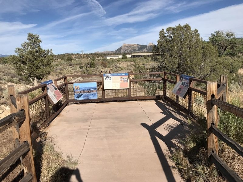
Location. 37° 20.879′ N, 108° 30.176′ W. Marker is near Cortez, Colorado, in Montezuma County. Marker can be reached from U.S. 160, ¼ mile west of Road 30.1, on the right when traveling east. Marker is located on a deck overlooking the McElmo Creek Flume. Touch for map. Marker is in this post office area: Cortez CO 81321, United States of America. Touch for directions.
Other nearby markers. At least 8 other markers are within 4 miles of this marker, measured as the crow flies. Greening the Valley (here, next to this marker); Water Technology (here, next to this marker); Preserving the McElmo Creek Flume (within shouting distance of this marker); Four Corners (approx. 3.3 miles away); Cortez (approx. 3.3 miles away); Southwest Survival (approx. 3.3 miles away); Mesa Verde Country (approx. 3.3 miles away); Welcome to the San Juan Skyway (approx. 3.8 miles away). Touch for a list and map of all markers in Cortez.
Credits. This page was last revised on July 23, 2020. It was originally submitted on July 23, 2020, by Duane and Tracy Marsteller of Murfreesboro, Tennessee. This page has been viewed 151 times since then and 15 times this year. Photos: 1, 2. submitted on July 23, 2020, by Duane and Tracy Marsteller of Murfreesboro, Tennessee. • Andrew Ruppenstein was the editor who published this page.

