Mancos in Montezuma County, Colorado — The American Mountains (Southwest)
Cortez
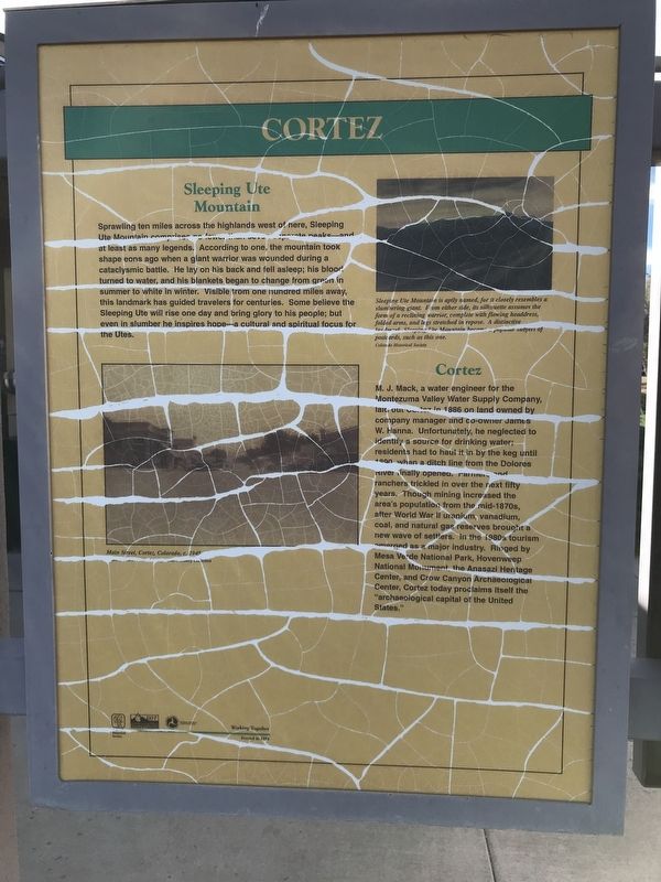
Sprawling ten miles across the highlands west of here, Sleeping Ute Mountain comprises no fewer than seven separate peaks — and at least as many legends. According to one, the mountain took shape eons ago when a giant warrior was wounded during a cataclysmic battle. He lay on his back and fell asleep; his blood turned to water, and his blankets began to change from green in summer to white in winter. Visible from one hundred miles away, this landmark has guided travelers for centuries. Some believe the Sleeping Ute will rise one day and bring glory to his people; but even in slumber he inspires hope — a cultural and spiritual focus for the Utes.
Cortez
M. J. Mack, a water engineer for the Montezuma Valley Water Supply Company, laid out Cortez in 1886 on land owned by company manager and co-owner James W. Hanna. Unfortunately, he neglected to identify a source for drinking water; residents had to haul it in by the keg until 1890 when a ditch line from the Dolores River finally opened. Farmers and ranchers trickled in over the next fifty years. Though mining increased the area's population from the mid-1870s, after World War II uranium, vanadium, coal, and natural gas reserves brought a new wave of settlers. In the 1980s tourism emerged as a major industry. Ringed by Mesa Verde National Park, Hovenweep National Monument, the Anasazi Heritage Center, and Crow Canyon Archaeological Center, Cortez today proclaims itself the "archaeological capital of the United States."
Captions
Top right: Sleeping Ute Mountain is aptly named, for it closely resembles a slumbering giant. From either side, its silhouette assumes the form of a reclining warrior, complete with flowing headdress, folded arms, and legs stretched in repose. A distinctive landmark, Sleeping Ute Mountain became a popular subject of postcards, such as this one. Colorado Historical Society
Bottom left: Main Street, Cortez, Colorado, c. 1945 Denver Public Library, Western History Collection
Erected 1998 by Colorado Historical Society and Colorado Department of Transportation.
Topics. This historical marker is listed in these topic lists: Environment • Native Americans • Settlements & Settlers. A significant historical year for this entry is 1886.
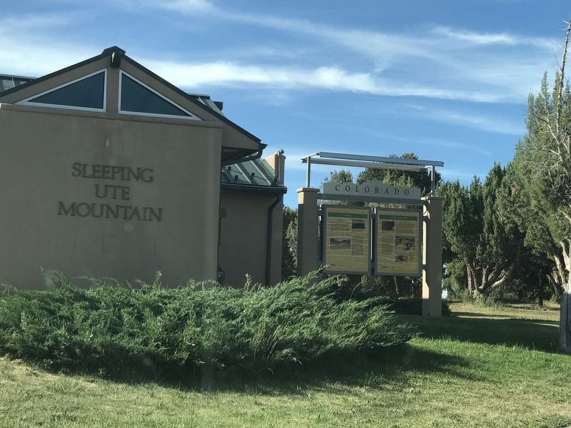
Location. 37° 21.195′ N, 108° 26.625′ W. Marker is in Mancos, Colorado, in Montezuma County. Marker can be reached from U.S. 160, on the right when traveling west. Marker is in the Sleeping Ute Mountain Rest Area about six miles east of Cortez. Touch for map. Marker is in this post office area: Cortez CO 81321, United States of America. Touch for directions.
Other nearby markers. At least 8 other markers are within 4 miles of this marker, measured as the crow flies. Four Corners (here, next to this marker); Southwest Survival (here, next to this marker); Mesa Verde Country (here, next to this marker); Water is Our Story (approx. 3.3 miles away); Greening the Valley (approx. 3.3 miles away); Water Technology (approx. 3.3 miles away); Preserving the McElmo Creek Flume (approx. 3.3 miles away); Mancos Valley (approx. 3.8 miles away). Touch for a list and map of all markers in Mancos.
Credits. This page was last revised on May 13, 2021. It was originally submitted on July 23, 2020, by Duane and Tracy Marsteller of Murfreesboro, Tennessee. This page has been viewed 203 times since then and 30 times this year. Photos: 1, 2. submitted on July 23, 2020, by Duane and Tracy Marsteller of Murfreesboro, Tennessee. • Andrew Ruppenstein was the editor who published this page.

