St. Augustine in St. Johns County, Florida — The American South (South Atlantic)
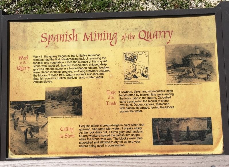
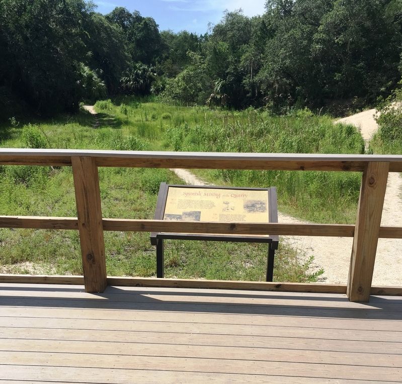
Spanish Mining of the Quarry
Work in the Quarry
Work in the quarry began in 1671. Native American workers had the first backbreaking task of removing the topsoils and vegetation. Once the surface of the coquina stone was exposed, Spanish stonecutters chipped deep grooves into the stone in a block-shaped pattern. Wedges were placed in these grooves, and long crowbars snapped the blocks of stone free. Quarry workers also included Spanish convicts, British captives, and, in later years, African slaves.
Tools of the Trade
Crowbars, picks, and stonecutter’s axes handcrafted by blacksmiths were among the tools used in the quarry. Ox-pulled carts transported the blocks of stone over land. Dugout canoes, fashioned with planks as barges, ferried the blocks across the water.
Cutting the Stone
Coquina stone is cream-beige in color when first quarried. Saturated with water, it breaks easily. As the rock dries out, it turns gray and hardens. Quarry workers hewed the blocks into shape while the stone was wet. The blocks were then stockpiled and allowed to dry for up to a year before being used in construction.
Topics. This historical marker is listed in these topic lists: African Americans • Colonial Era • Native Americans. A significant historical year for this entry is 1671.
Location. 29° 52.757′ N, 81° 17.124′ W. Marker is in St. Augustine, Florida, in St. Johns County. Marker can be reached from the intersection of Anastasia Park Road and Flamingo Drive, on the right when traveling south. Marker located approximately 0.1 mile inside the Anastasia State Park Quarry trail. Touch for map. Marker is at or near this postal address: 300 Anastasia Park Road, Saint Augustine FL 32080, United States of America. Touch for directions.
Other nearby markers. At least 8 other markers are within walking distance of this marker. Coquina - Foundation of St. Augustine (within shouting distance of this marker); Old Spanish Quarries (about 300 feet away, measured in a direct line); St. Augustine Alligator Farm (approx. ¼ mile away); a different marker also named St. Augustine Alligator Farm (approx. ¼ mile away); William Bartram Trail (approx. 0.3 miles away); The St. Augustine Amphitheatre (approx. 0.3 miles away); 1888 Outdoor Kitchens (approx. half a mile away); 1872 South Privy (approx. half a mile away). Touch for a list and map of all markers in St. Augustine.
Credits. This page was last revised on July 28, 2020. It was originally submitted on July 27, 2020, by Brandon D Cross of Flagler Beach, Florida. This page has been viewed 415 times since then and 52 times this year. Photos: 1, 2. submitted on July 27, 2020, by Brandon D Cross of Flagler Beach, Florida. • Bernard Fisher was the editor who published this page.

