Near Copper Harbor in Keweenaw County, Michigan — The American Midwest (Great Lakes)
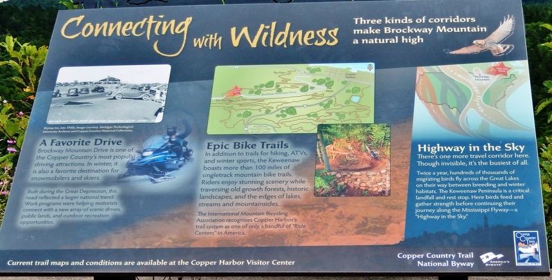
Connecting with Wilderness
Three kinds of corridors make Brockway Mountain a natural high
A Favorite Drive
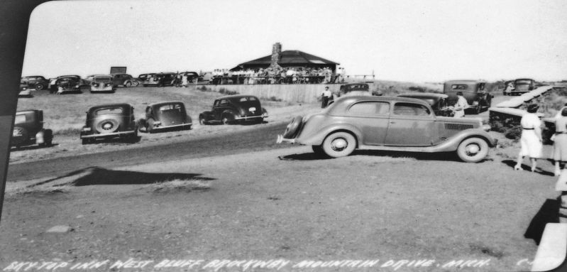
Brockway Mountain Drive is one of the Copper Country's most popular driving attractions. In winter, it is also a favorite destination for snowmobilers and skiers.
Built during the Great Depression, this road reflected a larger national trend. Work programs were helping motorists connect with a new array of scenic drives, public lands, and outdoor recreation opportunities.
Epic Bike Trails
In addition to trails for hiking, ATVs, and winter sports, the Keweenaw boasts more than 100 miles of singletrack mountain bike trails. Riders enjoy stunning scenery while traversing old growth forests, historic landscapes, and the edges of lakes, streams and mountainsides.
The International Mountain Bicycling Association recognizes Copper Harbor's trail system as one of only a handful of "Ride Centers" in America.
Highway in the Sky
There's one more travel corridor here. Though invisible, it's the busiest of all.
Twice a year, hundreds of thousands of migrating birds fly across the Great Lakes on their way between breeding and winter habitats. The Keweenaw Peninsula is a critical landfall and rest stop. Here birds feed and gather strength before continuing their journey along the Mississippi Flyway — a "Highway in the Sky.”
Current trail maps and conditions are available at the Copper Harbor Visitor Center.
Erected by Copper Country Trail National Byway.
Topics. This historical marker is listed in these topic lists: Animals • Parks & Recreational Areas • Roads & Vehicles.
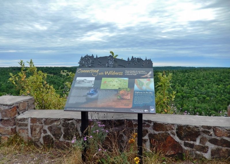
Location. 47° 27.92′ N, 87° 55.356′ W. Marker is near Copper Harbor, Michigan, in Keweenaw County. Marker is on Brockway Mountain Drive, 1.8 miles west of Gratiot Street (State Highway 26), on the left when traveling west. Marker is located in a pull-out on the south side of Brockway Mountain Drive, overlooking the Keweenaw Peninsula ridges and forest. Touch for map. Marker is in this post office area: Copper Harbor MI 49918, United States of America. Touch for directions.
Other nearby markers. At least 8 other markers are within 3 miles of this marker, measured as the crow flies. Tracing the Story (approx. 1.2 miles away); Isle Royale National Park (approx. 1.6 miles away); Copper Harbor (approx. 1.6 miles away); Fort Wilkins State Park and Historic Complex (approx. 1.6 miles away); The Estivant Pines (approx. 1.6 miles away); The Copper Country (approx. 2.2 miles away); Wired for Light & Sound (approx. 2.2 miles away); Corridor to the World (approx. 2.2 miles away). Touch for a list and map of all markers in Copper Harbor.
Also see . . . Brockway Mountain Drive History (Wikipedia)
. Construction began in early 1933 by the Keweenaw County Road Commission with federal highway funding designed to provide meaningful work to the many copper miners who became unemployed during the Great Depression. The Reconstruction Finance Corporation was the agency on the federal level responsible for the project. Up to 300 laborers were employed for a wage of 25˘/hr. The work required to build the road was carried out by manual labor, with the assistance of a team of horses, in a project designed to maximize the numbers of men employed. (Submitted on July 31, 2020, by Cosmos Mariner of Cape Canaveral, Florida.)
Credits. This page was last revised on July 31, 2020. It was originally submitted on July 30, 2020, by Cosmos Mariner of Cape Canaveral, Florida. This page has been viewed 113 times since then and 7 times this year. Photos: 1, 2, 3. submitted on July 31, 2020, by Cosmos Mariner of Cape Canaveral, Florida.


