Sharpsburg in Washington County, Maryland — The American Northeast (Mid-Atlantic)
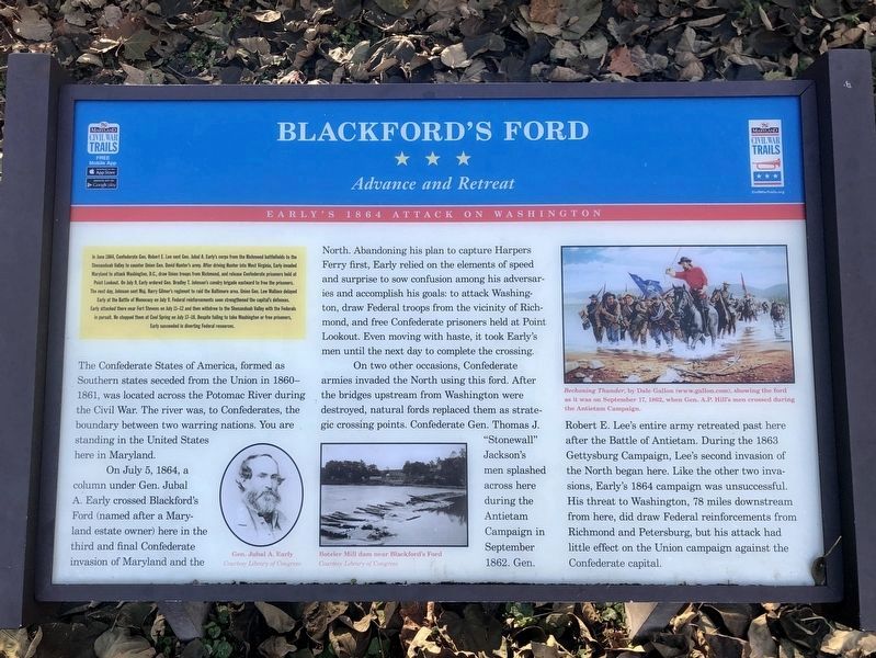
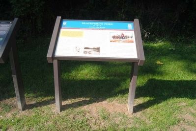
Blackford's Ford
Advance and Retreat
— Early's 1864 Attack on Washington —
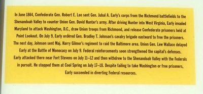
In June 1864, Confederate Gen. Robert E. Lee sent Gen. Jubal A. Early's corps from the Richmond battlefields to the Shenandoah Valley to counter Union Gen. David Hunter's army. After driving Hunter into West Virginia, Early invaded Maryland to attack Washington, D.C., draw Union troops from Richmond, and release Confederate prisoners held at Point Lookout. The next day, Johnson sent Maj. Harry Gilmor's regiment to raid the Baltimore area. Union Gen. Lew Wallace delayed Early at the Battle of Monocacy on July 9. Federal reinforcements soon strengthened the capital's defenses. Early attacked there near Fort Stevens on July 11-12 and then withdrew to the Shenandoah Valley with the Federals in pursuit. He stopped them at Cold Springs on July 17-18. Despite failing to take Washington or free prisoners, Early succeeded in diverting Federal resources.
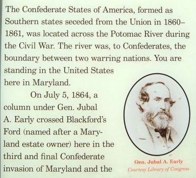
The Confederate States of America, formed as Southern states seceded from the Union in 1860-1861, was located across the Potomac River during the Civil War. The river was, to Confederates, the boundary between two warring nations. You are standing in the United States here in Maryland.
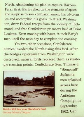
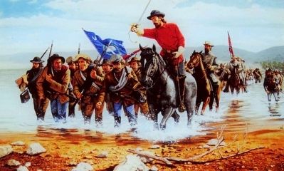
On July 5, 1864, a column under Gen. Jubal A. Early crossed Blackford's Ford (named after a Maryland estate owner) here in the third and final Confederate invasion of Maryland and the North. Abandoning his plan to capture Harpers Ferry first, Early relied on the elements of speed and surprise to sow confusion among his adversaries and accomplish his goals: to attack Washington, draw Federal troops from the vicinity of Richmond, and free Confederate prisoners held at Point Lookout. Even moving with haste, it took Early's men until the next day to complete the crossing.
On two other occasions, Confederate armies invaded the North using this ford. After the bridges upstream from Washington were destroyed, natural fords replaced them as strategic crossing points. Confederate Gen. Thomas J. "Stonewall" Jackson's men splashed across here during the Antietam Campaign in September 1862. Gen. Robert E. Lee's entire army retreated past here after the Battle of Antietam. During the 1863 Gettysburg Campaign, Lee's second invasion of the North began here. Like the other two invasions, Early's 1864 campaign was unsuccessful. His threat to Washington, 78 miles downstream from here, did draw Federal reinforcements from Richmond and Petersburg, but his attack had little effect on the Union campaign against the Confederate capital.
Erected by Maryland Civil War Trails.
Topics. This historical marker is listed in these topic lists: War, US Civil • Waterways & Vessels. A significant historical date for this entry is July 5, 1864.
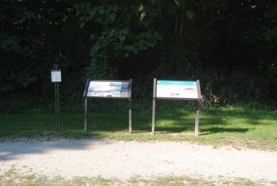
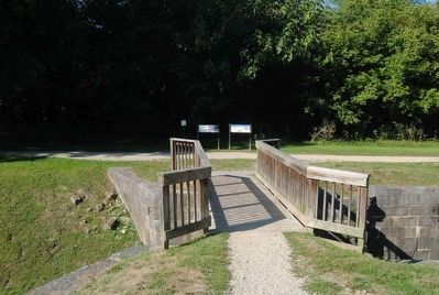
Location. 39° 26.183′ N, 77° 48′ W. Marker is in Sharpsburg, Maryland, in Washington County. Marker can be reached from Shepherdstown Pike (State Highway 34). Marker is located near the parking lot. Touch for map. Marker is in this post office area: Sharpsburg MD 21782, United States of America. Touch for directions.
Other nearby markers. At least 8 other markers are within walking distance of this marker. Shepherdstown (a few steps from this marker); A View into the Past (within shouting distance of this marker); Ferry Hill (approx. 0.2 miles away); Ferry Hill Place (approx. 0.2 miles away); Waterfront Commerce and the Mecklenburg Warehouse (approx. 0.2 miles away in West Virginia); River Crossing (approx. 0.2 miles away in West Virginia); The James Rumsey Bridge (approx. 0.2 miles away in West Virginia); a different marker also named Shepherdstown (approx. 0.2 miles away in West Virginia). Touch for a list and map of all markers in Sharpsburg.
Also see . . . Antietam, a Virtual Tour: Blackford's Ford, Boteler's Cement Mill and Shepherdstown. A day after the tactical draw at Antietam (September 17, 1862), Robert E. Lee began to pull his Army of Northern Virginia back across the Potomac at Shepherdstown. The Confederates spent all night wading the river, but by daybreak nearly the whole of the army was across. Two small brigades of infantry stayed with the artillery to prevent rapid Union pursuit. (Submitted on October 27, 2015, by Brian Scott of Anderson, South Carolina.)
Credits. This page was last revised on November 10, 2021. It was originally submitted on October 27, 2015, by Brian Scott of Anderson, South Carolina. This page has been viewed 841 times since then and 47 times this year. Last updated on August 1, 2020, by Bradley Owen of Morgantown, West Virginia. Photos: 1. submitted on November 10, 2021, by Jordan Butler of New Windsor, Maryland, USA. 2, 3, 4, 5, 6, 7, 8, 9. submitted on October 27, 2015, by Brian Scott of Anderson, South Carolina. • Bill Pfingsten was the editor who published this page.
