
Pampa in Gray County, Texas — The American South (West South Central)
Quanah Parker Trail
Texas Plains Trail Region
Photographed by Allen Lowrey, August 1, 2020
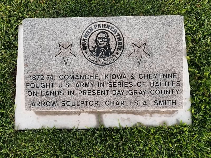
1. Quanah Parker Trail Marker
1872-74, Comanche, Kiowa & Cheyenne fought U.S. Army in series of battles on lands in present-day Gray county
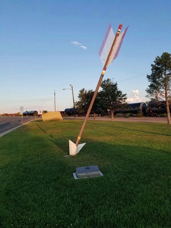
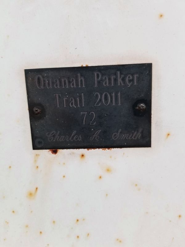
Arrow sculptor: Charles A. Smith (Marker Number 72.)
Topics. This historical marker is listed in these topic lists: Indigenous Peoples and Communities • Wars, US Indian.
Location. 35° 31.549′ N, 100° 58.664′ W. Marker is in Pampa, Texas, in Gray County. It is at the intersection of US 60, on the left when traveling east on US 60. The marker is in a small park at the intersections of US 60(Wilks Street) and Wells Street. Touch for map. Marker is in this post office area: Pampa TX 79065, United States of America. Touch for directions.

Regionally, this marker is on the Texas Panhandle. It is also on the American Great Plains and specifically on the Southern Plains. Globally, it is in North America, a Gulf of Mexico state, the Western Hemisphere, the Western World, and the Anglosphere. Historically, it finds itself in what was once New Spain, the Comanchería, the Dust Bowl, the Republic of Texas, and one of the Confederate States of America.
Other nearby markers. At
this page online
Photographed by Allen Lowrey, August 1, 2020
2. Quanah Parker Trail Marker
Photographed by Allen Lowrey, August 1, 2020
3. Quanah Parker Trail Marker 72
Photographed by Jennifer Kelley, August 20, 2026
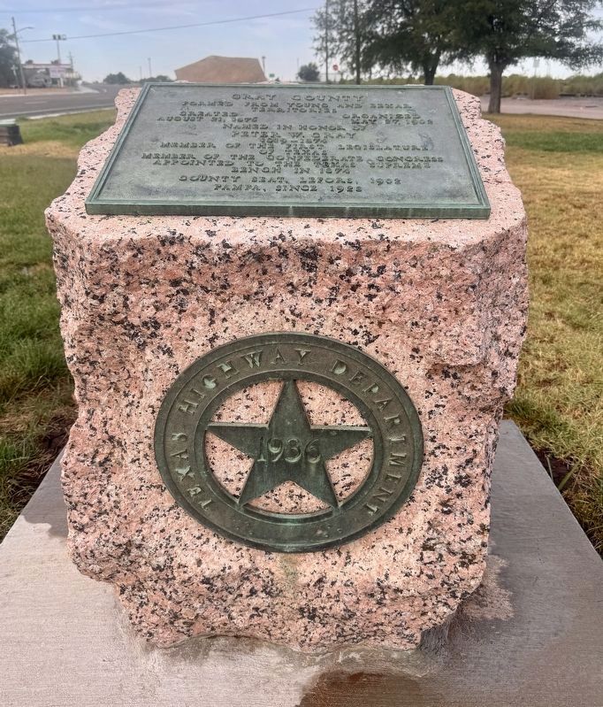
4. Quanah Parker Trail Marker
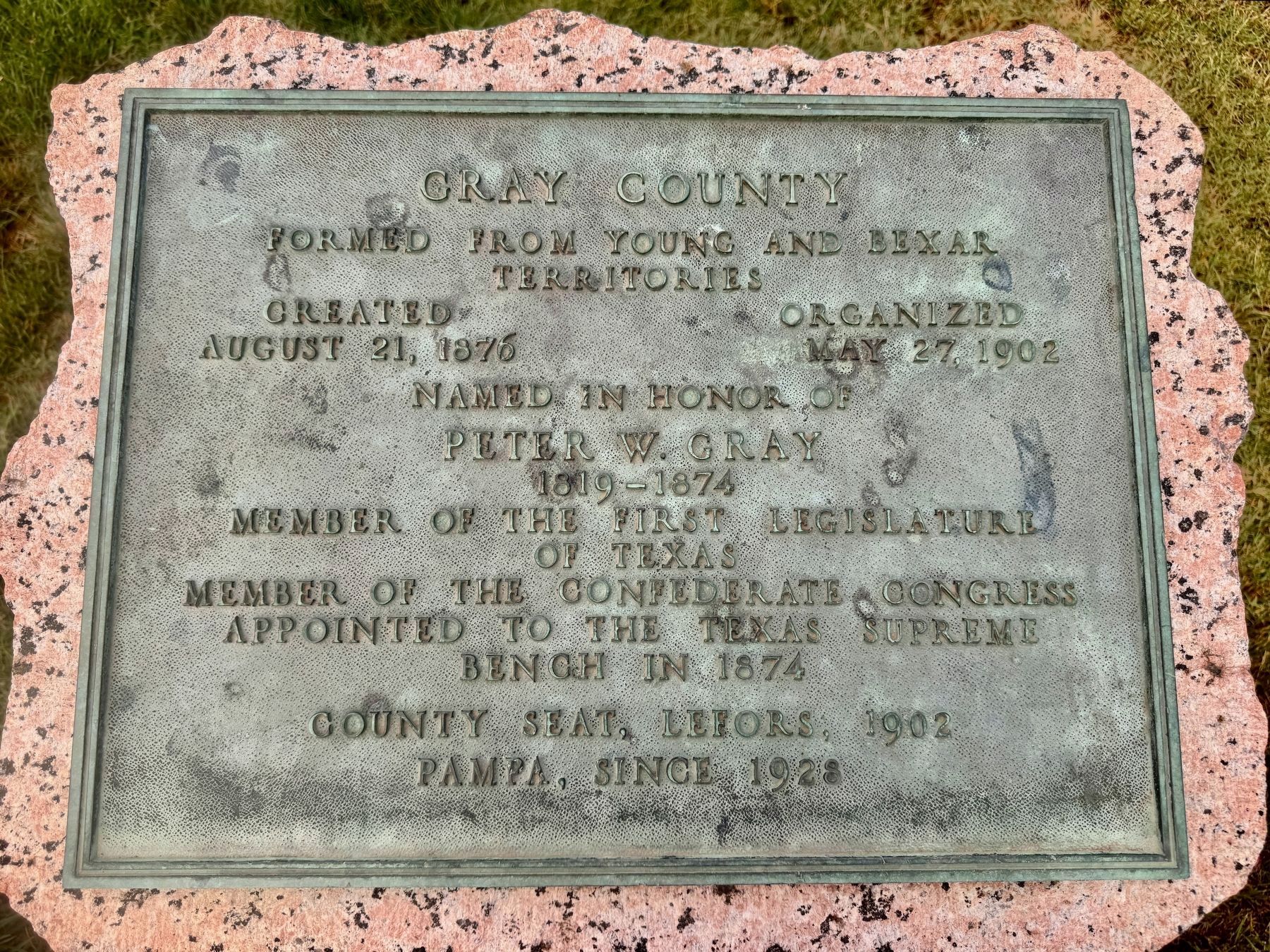
Photographed by Jennifer Kelley, August 20, 2026
5. Quanah Parker Trail Marker
Credits. This page was last revised on August 26, 2026. It was originally submitted on August 2, 2020, by Allen Lowrey of Amarillo, Texas. This page has been viewed 432 times since then and 44 times this year. Photos: 1, 2, 3. submitted on August 2, 2020, by Allen Lowrey of Amarillo, Texas. 4, 5. submitted on August 20, 2026, by Jennifer Kelley of Cleburne, Texas. • J. Makali Bruton was the editor who published this page.
