Wayside in Armstrong County, Texas — The American South (West South Central)
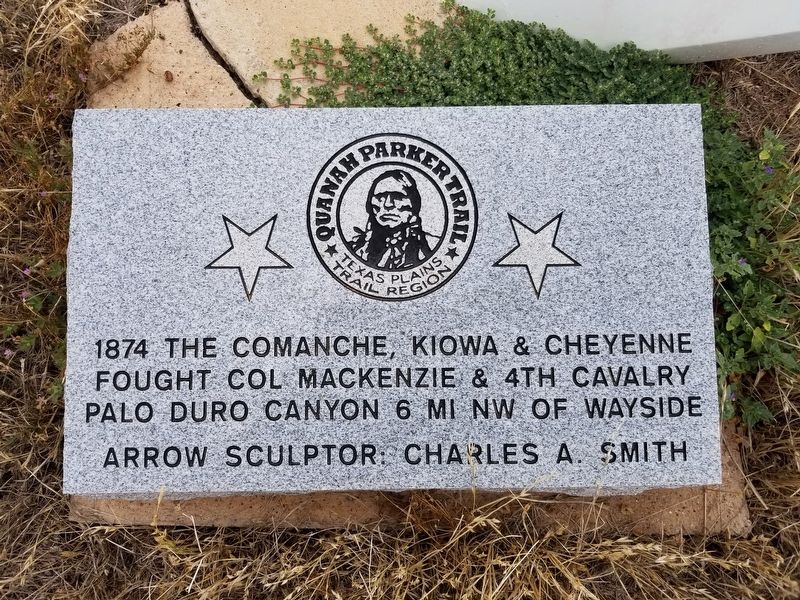
Quanah Parker Trail
Texas Plains Trail Region
1874 the Comanche, Kiowa & Cheyenne fought Col Mackenzie & 4th Cavalry Palo Duro Canyon 6 mi NW of Wayside
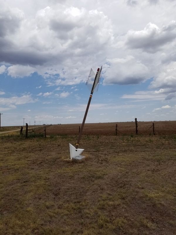
Arrow sculptor: Charles A. Smith
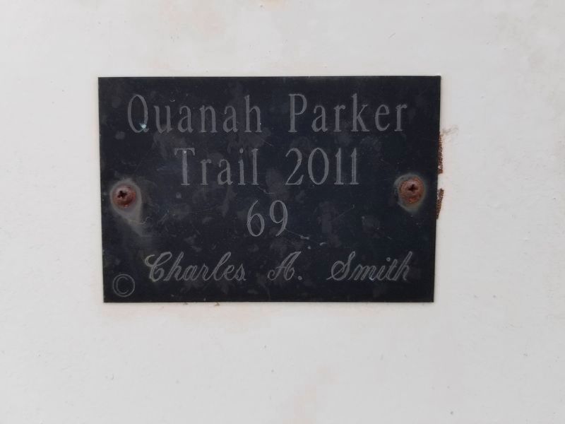
Erected 2014. (Marker Number 69.)
Topics. This historical marker is listed in these topic lists: Native Americans • Wars, US Indian. A significant historical year for this entry is 1874.
Location. 34° 47.564′ N, 101° 32.729′ W. Marker is in Wayside, Texas, in Armstrong County. Marker is on Wayside, 0.1 miles east of Farm to Market Road 285. Touch for map. Marker is in this post office area: Wayside TX 79094, United States of America. Touch for directions.
Other nearby markers. At least 8 other markers are within 16 miles of this marker, measured as the crow flies. Hamblen Drive (approx. 6.2 miles away); The S.P. Hamblen Family (approx. 9.4 miles away); The Vigo Park Methodist Church (approx. 10.1 miles away); The Battle of Palo Duro Canyon (approx. 10.9 miles away); High Water Mark (approx. 14 miles away); Milo Cemetery (approx. 14.7 miles away); The Civilian Conservation Corps at Palo Duro Canyon State Park (approx. 15.3 miles away); The Old JA Ranch (approx. 15.9 miles away).
Also see . . . Quanah Parker Trail at Wayside dedication. (Submitted on August 3, 2020.)
Credits. This page was last revised on August 3, 2020. It was originally submitted on August 3, 2020, by Allen Lowrey of Amarillo, Texas. This page has been viewed 231 times since then and 17 times this year. Photos: 1, 2, 3, 4. submitted on August 3, 2020, by Allen Lowrey of Amarillo, Texas. • J. Makali Bruton was the editor who published this page.


