San Miguel in San Luis Obispo County, California — The American West (Pacific Coastal)
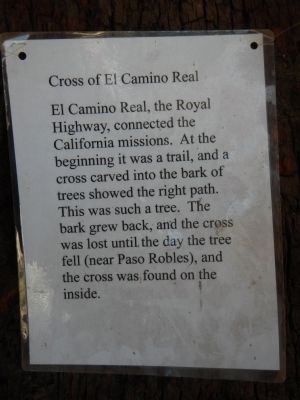
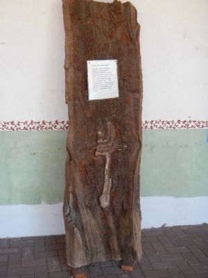
Cross of El Camino Real
Topics. This historical marker is listed in these topic lists: Hispanic Americans • Roads & Vehicles.
Location. 35° 44.669′ N, 120° 41.858′ W. Marker is in San Miguel, California, in San Luis Obispo County. Marker can be reached from Mission Street, on the right when traveling south. Touch for map. Marker is at or near this postal address: 775 Mission Street, San Miguel CA 93451, United States of America. Touch for directions.
Other nearby markers. At least 8 other markers are within walking distance of this marker. Mission Fields (a few steps from this marker); Mission Cemetery (about 300 feet away, measured in a direct line); Mission San Miguel Arcangel (about 400 feet away); Lt. Col. John C. Fremont (about 400 feet away); Fr. Fidelis Wieland, O.F.M (approx. 0.2 miles away); San Miguel Cemetery District (approx. 0.4 miles away); Rios-Caledonia Adobe (approx. 0.4 miles away); Elkhorn Saloon (approx. 0.4 miles away). Touch for a list and map of all markers in San Miguel.
More about this marker. This marker is located in the courtyard of Mission San Miguel.
Credits. This page was last revised on August 9, 2020. It was originally submitted on April 22, 2013. This page has been viewed 574 times since then and 27 times this year. Last updated on August 7, 2020, by Craig Baker of Sylmar, California. Photos: 1, 2. submitted on April 22, 2013, by Barry Swackhamer of Brentwood, California. • J. Makali Bruton was the editor who published this page.

