San Miguel de Allende, Guanajuato, Mexico — The Central Highlands (North America)
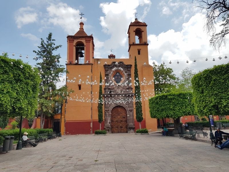
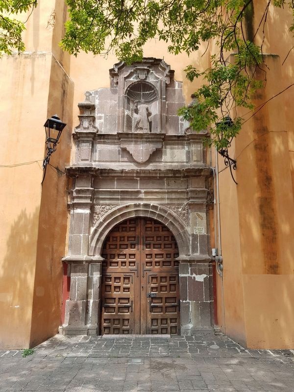
Barrio de San Juan de Dios
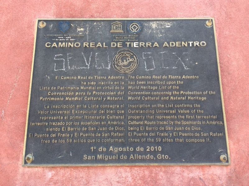
El Camino Real de Tierra Adentro
El Camino Real de Tierra Adentro ha sido inscrito en la Lista del Patrimonio Mundial en virtud de la Convención para la Protección del Patrimonio Mundial Cultural y Natural.
La inscripción en esta Lista consagra el Valor Universal Excepcional del bien que representa el primer itinerario Cultural terrestre trazado por los españoles en América, siendo el Barrio de San Juan de Dios, El Puente del Fraile y El Puente de San Rafael tres de los 59 sitios que lo conforman.
1º de Agosto de 2010
San Miguel de Allende, Gto.
English translation:
The Camino Real de Tierra Adentro has been inscribed upon the World Heritage List of the Convention concerning the Protection of the World Cultural and Natural Heritage.
Inscription on the List confirms the Outstanding Universal Value of the property that represents the first terrestrial Cultural Route traced by the Spaniards in America, being El Barrio de San Juan de Dios, El Puente del Fraile y El Puente de San Rafael three of the 59 sites that compose it.
August 1, 2010
San Miguel de Allende, Guanajauto
Erected 2010 by Honorable Ayuntamiento del Bicentenario de San Miguel de Allende.
Topics and series. This historical marker is listed in these topic lists: Bridges & Viaducts • Colonial Era • Industry & Commerce • Roads & Vehicles. In addition, it is included in the El Camino Real de Tierra Adentro series list. A significant historical date for this entry is August 1, 2010.
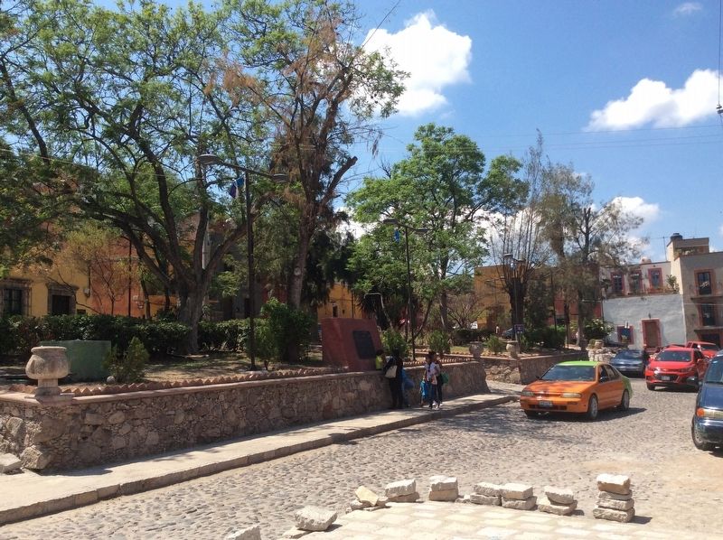
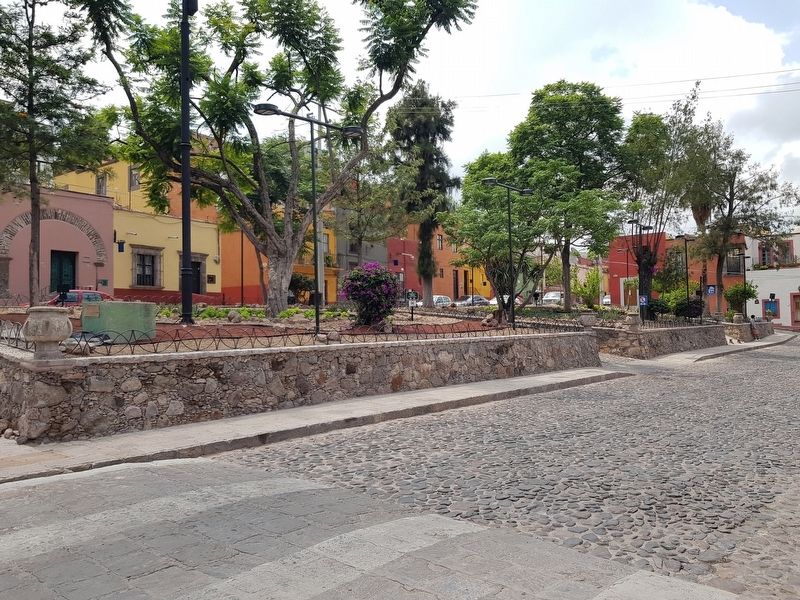
Location. Marker is missing. It was located near 20° 54.956′ N, 100° 44.895′ W. Marker was in San Miguel de Allende, Guanajuato. Marker was on San Antonio Abad just north of San Rafael, on the right when traveling north. Touch for map. Marker was in this post office area: San Miguel de Allende GTO 37700, Mexico. Touch for directions.
Other nearby markers. At least 8 other markers are within walking distance of this location. Captain Juan Aldama y González (within shouting distance of this marker); The Heroes' Bridge (about 240 meters away, measured in a direct line); Temple of the Immaculate Conception (approx. 0.3 kilometers away); The Francisco I. Madero Fountain (approx. 0.3 kilometers away); The Remains of the Insurgents (approx. 0.3 kilometers away); Ignacio Ramírez “El Nigromante” Cultural Center (approx. 0.3 kilometers away); Carmen Masip Echazarreta (approx. 0.3 kilometers away); a different marker also named Temple of the Immaculate Conception (approx. 0.3 kilometers away). Touch for a list and map of all markers in San Miguel de Allende.
Photographed By J. Makali Bruton, August 2, 2020
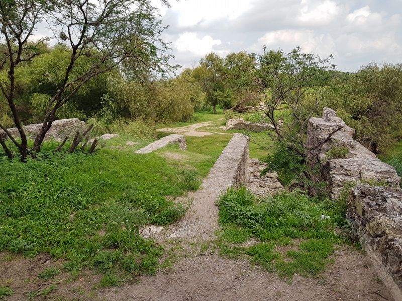
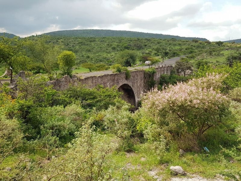
6. The San Rafael Bridge
This bridge was one of the largest on the Camino Real de Tierra Adentro. It was on the road from San Miguel de Allende (previously known as San Miguel el Grande) to the west to Guanajuato. It crossed the Laja River at 20.940883, -100.793581.
Photographed By J. Makali Bruton, August 2, 2020
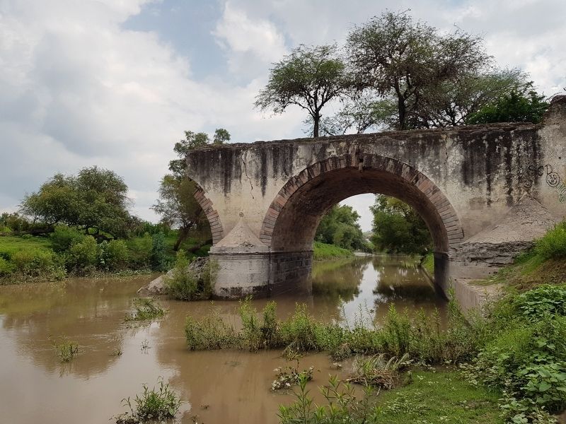
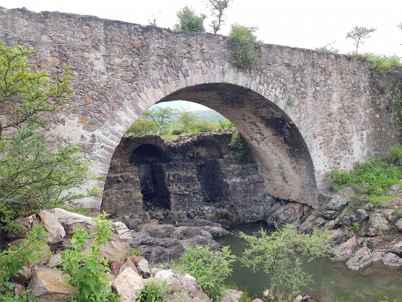
8. The Friar's Bridge (Puente del Fraile)
This bridge was on the Camino Real de Tierra Adentro between Celaya and San Miguel el Grande. The original bridge was probably made of the two smaller arches seen under this larger arch. It is at 20.842440, -100.795840.
Credits. This page was last revised on August 8, 2020. It was originally submitted on August 8, 2020, by J. Makali Bruton of Accra, Ghana. This page has been viewed 168 times since then and 17 times this year. Photos: 1, 2, 3, 4, 5, 6, 7, 8, 9. submitted on August 8, 2020, by J. Makali Bruton of Accra, Ghana.
