
Clinton in Prince George's County, Maryland — The American Northeast (Mid-Atlantic)
Surratt Tavern
Confederate Safe House
| — | John Wilkes Booth - Escape of an Assassin | — |
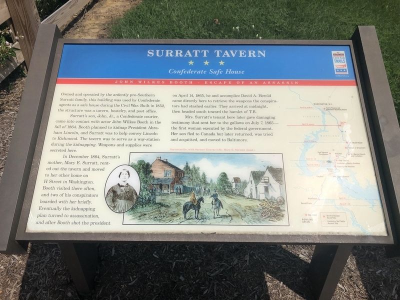
Owned and operated by the ardently pro-Southern Surratt family, this building was used by Confederate agents as a safe house during the Civil War. Built in 1852, the structure was a tavern, hostelry, and post office.
Surratt's son, John, Jr., a Confederate courier, came into contact with actor John Wilkes Booth in the fall of 1864. Booth planned to kidnap President Abraham Lincoln, and Surratt was to help convey Lincoln to Richmond. The tavern was to serve as a way-station during the kidnapping. Weapons and supplies were secreted here.
In December 1864, Surratt's mother, Mary E. Surratt, rented out the tavern and moved to her other home on H Street in Washington. Booth visited there often, and two of his conspirators boarded with her briefly. Eventually the kidnapping plan turned to assassination, and after Booth shot the president on April 14, 1865, he and accomplice David A. Herold came directly here to retrieve the weapons the conspirators had stashed earlier. They arrived at midnight, then headed south toward the hamlet of T.B.
Mrs. Surratt's tenant here later gave damaging testimony that sent her to the
this page online
Erected by Maryland Civil War Trails.
Topics and series. This historical marker is listed in these topic lists: Industry & Commerce • Notable Events • War, US Civil • Women. In addition, it is included in the Booth's Escape, the Former U.S. Presidents: #16 Abraham Lincoln, and the Maryland Civil War Trails series lists. A significant historical date for this entry is April 14, 1865.
Location. 38° 45.869′ N, 76° 53.846′ W. Marker is in Clinton, Maryland, in Prince George's County. It is on Brandywine Road 0.1 miles north of Horseshoe Road, on the right when traveling north. Touch for map. Marker is at or near this postal address: 9118 Brandywine Rd, Clinton MD 20735, United States of America. Touch for directions.

Regionally, this marker is in the Washington Metropolitan Area. It is also in the American South, specifically in the Upper South, in the Mid-Atlantic, and on the Eastern Seaboard. Globally, it is in the North Atlantic Region, North America,
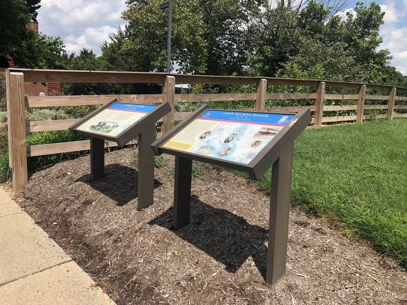
Other nearby markers. At least 8 other markers are within 3 miles of this marker, measured as the crow flies: John Wilkes Booth (here, next to this marker); a different marker also named John Wilkes Booth (a few steps from this marker); The Mary Surratt House (within shouting distance of this marker); Crucifix (approx. 0.2 miles away); Louise F. Cosca Regional Park (approx. 2.4 miles away); Thrift School (approx. 2.7 miles away); His Lordship’s Kindness (approx. 3 miles away); Slaves’ Infirmary [on His Lordship’s Kindness] (approx. 3 miles away). Touch for a list and map of all markers in Clinton.
Another marker is no longer nearby. Surratt Tavern (has been replaced with this marker).
Related marker. Click here for another marker that is related to this marker. This marker has replaced the linked marker. Notably different is the information in the final paragraph.
Additional keywords. outlaws, conspiracies, John Wilkes Booth, Mary
Photographed by Bill Coughlin, April 17, 2023
3. Surratt Tavern Marker
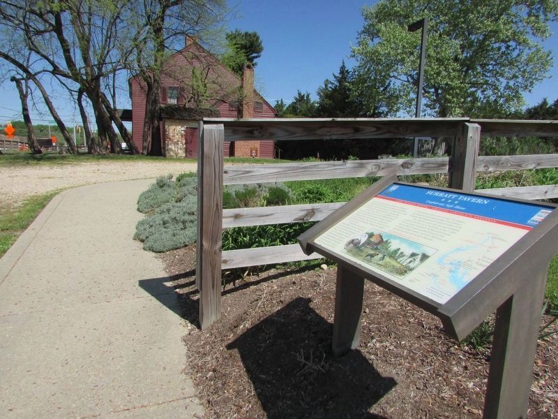
The Surratt Tavern can be seen in the background.
Credits. This page was last revised on April 28, 2023. It was originally submitted on August 9, 2020, by Devry Becker Jones of Washington, District of Columbia. This page has been viewed 1,320 times since then and 60 times this year. Photos: 1, 2. submitted on August 9, 2020, by Devry Becker Jones of Washington, District of Columbia. 3. submitted on April 27, 2023, by Bill Coughlin of Woodland Park, New Jersey.
